
Earth & Environmental Sciences
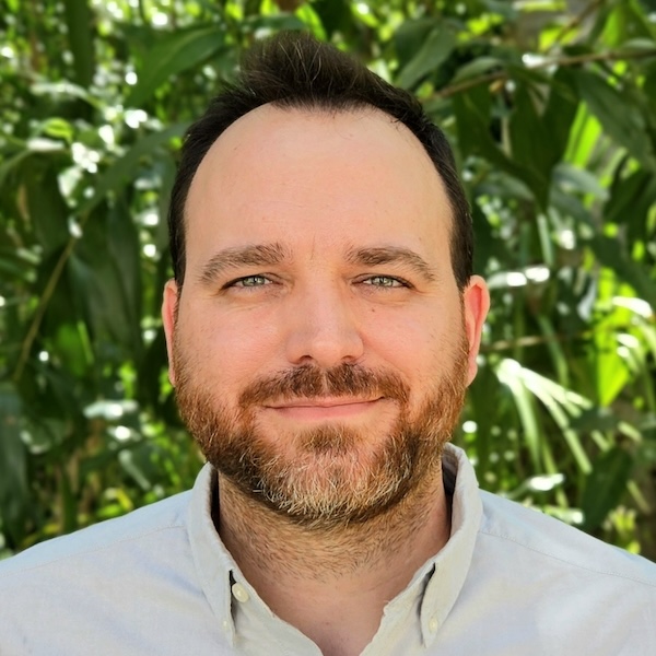
Romain Vaucher
- Senior Lecturer, Sedimentology
- romain.vaucher@jcu.edu.au
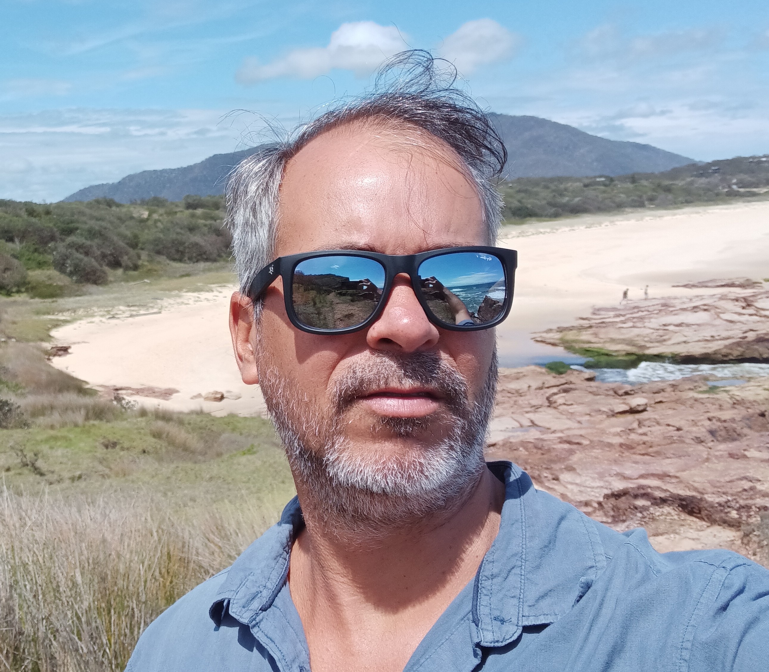
Rafael Cabral Carvalho
- Lecturer, Marine Geoscience
- rafael.cabralcarvalho@jcu.edu.au

Youseph Ibrahim
- Lecturer, Geoscience
- youseph.ibrahim@jcu.edu.au

Natalie Robson
- Postdoctoral Research Fellow, Land and Sea Management
- natalie.robson@jcu.edu.au

Alexandre Wadoux
- Lecturer, Soil Science
- alexandre.wadoux@jcu.edu.au

Alica Hoess
- Postdoctoral Research Fellow, Neutron Tomography Scanner
- alica.hoess@jcu.edu.au

Phoebe Stewart-Sinclair
- Lecturer, Environmental Science
- phoebe.stewartsinclair@jcu.edu.au
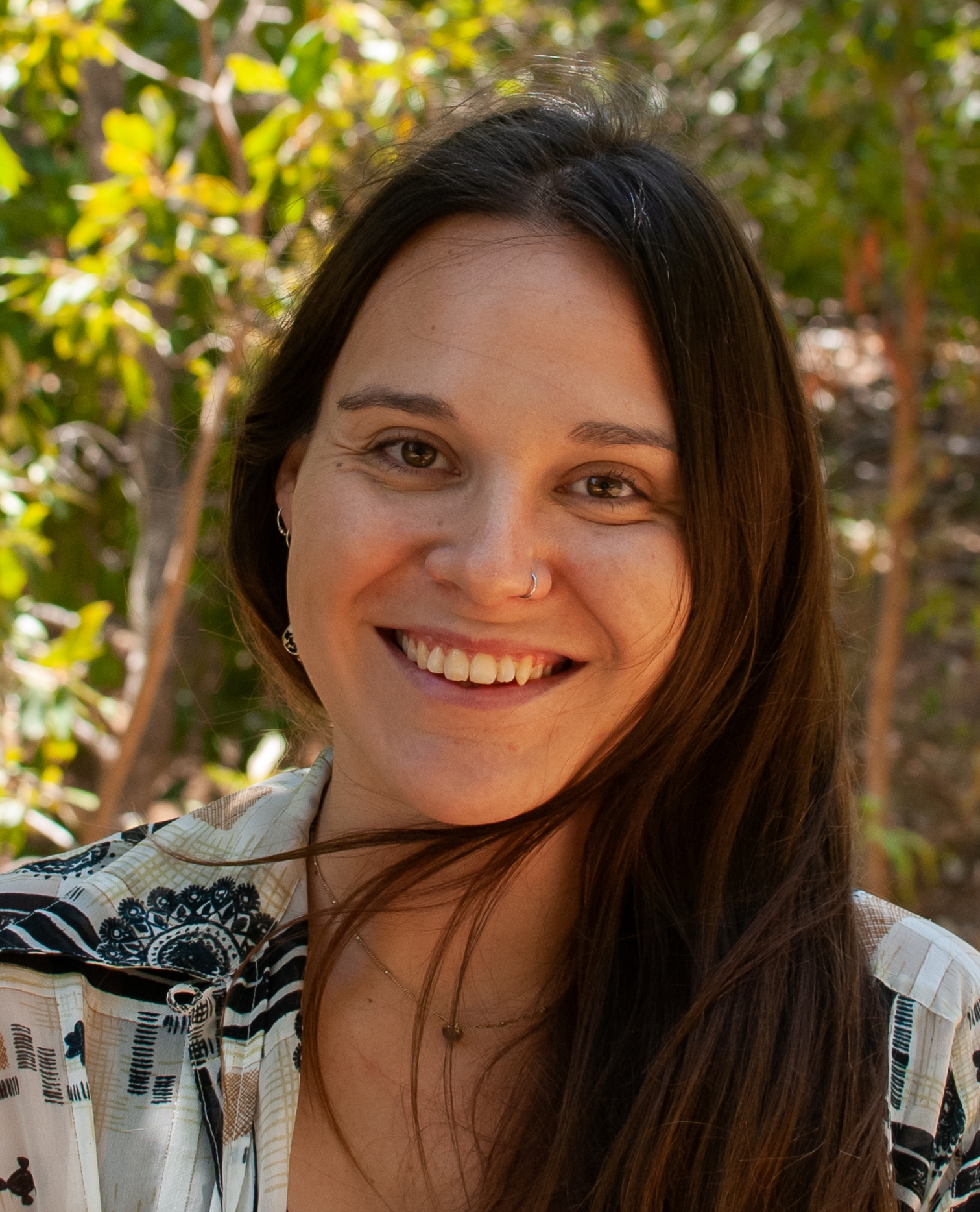
Bethany Smith
- Postdoctoral Research Fellow
- bethany.smith1@jcu.edu.au

Brandon Mahan
- Adjunct Senior Lecturer
- brandon.mahan@jcu.edu.au
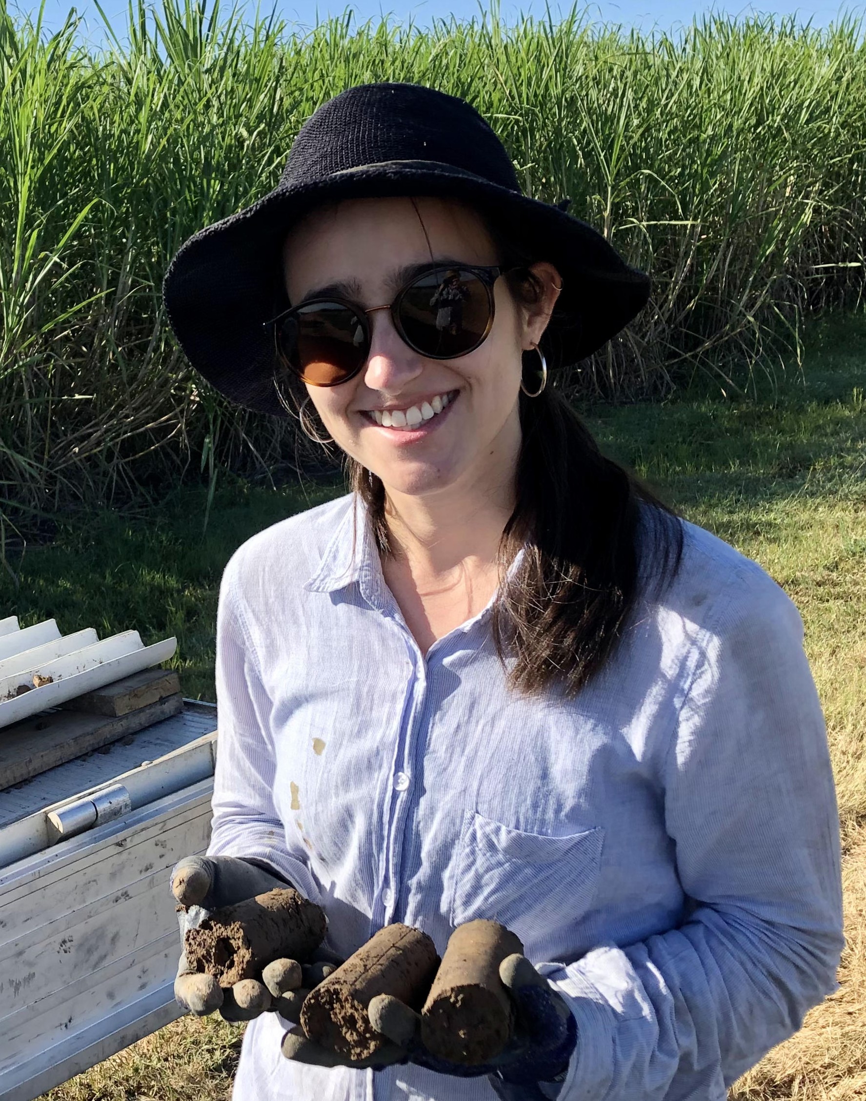
Hannah Green
- Research Officer
- hannah.green@jcu.edu.au
Geological characteristics, genesis and ore controlling factors of the Tick Hill Au deposit, Dajarra District, NW Queensland, Australia (Old ID 24727)
The project aims to: 1. investigate and document the geological and geochemical features of the Tick Hill gold deposit, including understanding the structural evolution lmagmaticl history, alteration style andl mineralisation; 2. classify the deposit and improve the understanding of the genesis; 3. identify the factors controlling the locationh and formation of the deposits such as structural architecture, controls of host rocks and intrusions; and 4. discover lmineralogical, textural and geochemical zoning patterns that could gbe used as vectors to ore. A geological model will be developedfor use in exploration targeting.
Microanalytical Facility Supporting Resources Development and Manufacturing (Old ID 27524)
The project aims to establish a state-of-the-art electron probe microanalysis facility enabling accurate chemical analysis to be undertaken at the micro-scale. It is expected to provide new knowledge and support applied research on a range of natural, synthetic and processed materials that will deeply impact advancements in the fields of metals processing and recycling, Earth and environmental science, and the development of materials for a healthier society. It will support ARC funded and industry engaged research enhancing the minerals exploration, mining and metallurgical industries and inform sustainable practice. It will also provide the key research infrastructure to enhance Australia’s research leadership in these fields.
Investigating the Link between Mineralised Shear Zones and Subsurface Granites for Rare Earth Element Exploration in Australia: A Geophysical Study of the Mary Kathleen Syncline
$10,000 grant from the Australian Society of Exploration Geophysicists Research Foundation paid to Peter Betts at Monash University, which is being transferred to Melanie Finch at James Cook University to engage and supervise her PhD student Alanis Olesch-Byrne to complete the Research Project, providing logistic support for field work and supervision expertise related to the geology of the region.
Improving the flood resilience of a tropical urban catchment using hydraulic modelling approaches, tribal science and historical sources of information (Old ID 27749)
This project uses hydrological modelling to assess flood mitigation strategies under different climate change conditions for a tropical urban catchment in Cairns (Saltwater Creek). Model predictions are validated against field measurements and non-traditional sources of information including Traditional Owner knowledge and experiences of past floods and archival documents. The project involves ranger training in flow measurement and water quality assessment. The use of multiple lines of evidence to validate the flood model predictions decreases the risk associated with decision making around flood protection measures and urban development. The project outcomes will guide Cairns Regional Council and local communities in adaptive land use and investment planning under climate change for Saltwater Creek and similar coastal urban catchments.This is a collaborative project between Cairns Regional Council, Gimuy Walubara Yidinji Elders Aboriginal Corporation and Abriculture.
Strengthening economic resilience in Monsoon Asia (Old ID 21899)
Sharing, reciprocity and resource pooling are at the frontline of recovery and relief when economic crisis or disaster hits Monsoon Asia. This research sheds light on cases where these economic practices have been innovatively harnessed to diversify livelihoods and build economic resilience. Working with contemporary Asian scholars, practitioners in the disaster field and a data set gleaned from multiple sources, including mid-20th century tropical geography texts, the project brings to the fore a regional landscape of diverse economic practices across Monsoon Asia. A cross-regional on-line knowledge community is formed to explore how this asset base might be mobilised towards more effective local development and disaster response.
Fieldwork or remote sensing? The blurred line of unmanned airborne systems (Old ID 22374)
The aim of the project is to develop a state-of-the-art Unmanned Airborne System (UAS) capability in support of field data acquisition in Northern Australia. The system will provide highly detailed calibrated imagery of difficult or inaccessible survey sites and bridge the scale gap between in situ observations and imagery acquired by higher altitude airborne or satellite sensors. The Unmanned Airborne System will have a diverse range of applications, including environmental monitoring, disaster management and recording sites of indigenous cultural significance. In addition, the System will be more flexible and cost effective than any other field or remote sensing tool.
Mapping the future of Myanmar's human nutrition (Old ID 26719)
This project aims to utilise Geographical Information System (GIS) software to assist in the generation of maps to improve land use for nutritious food production (eg rice-fish systems (RFS)) in the Ayeyarwady Delta. Maps will be used to inform local governments of RFS suitability, supporting a broader understanding of different land use interactions in a multi-functional landscape setting. Additionally, outcomes will provide ecologically and socially tailored options for food production with an em0hasis on marginal land areas and groups. This will contribute to overarching policy goals of the government for poverty reduction, addressing under-nutrition and rural development.
Regional mapping at the Mt Carlton High-sulphidation Au-Cu-Ag mine (Old ID 23651)
Past research on Mt Carlton has concentrated on the geological structures exposed in the open pit. The aim of this project is to map the region around the pit areas and develop a geological model that links the deposit to nearby prospects; and work out the extent to which later extensional structures have dismembered and displaced mineralisation. This work is a continuation of the GSQ North Queensland project and work conducted by one PhD student and a post-doctoral fellow who has obtained dates for many of the rock units, but does not have a coherent regional geological model to work with.
Seismic Interpretation of NE QLD (Old ID 28938)
This project will update the interpretation of deep seismic lines across NE QLD, from Georgetown to Thomson and Hodkinson provinces. Work carried out at JCU with regard to tectonic models of the development of the eastern margin of the north Australian craton and new processing techniques should allow a better understanding of the fundamental geological and tectonic structure of NE Queensland. Understanding of the large scale distribution of geological provinces in 3 dimensions will underpin other works in the region such as geological mapping and lead to better understanding of mineral systems which include significant potential for critical minerals.
Queensland Coastline Capture Project. (Old ID 21130)
The objectives are: (1) Using panchromatic and multi-band digital imagery acquired using both aircraft and satellites to provide interpretation and capture of reefs throughout the Great Barrier Reef (GBR). Specifically, identifying and capturing those reefs that expose at lowest astronomical tide (LAT). (2) to identify and capture other reef structures that are apparent from the imagery that will contribute to the knowledge of the extent and structure of the GBR. The Project will provide valuable data across Government of the GBR that will increase the general knowledge of reef location and will provide valuable data across Government of the GBR that will increase the general knowledge of reef location and structure, as well as maximising Australia's control of the GBR and realising the full extend of offshore jurisdiction.
Organic matter, sodicity and soil structure
- 1998
- Oxford University Press
- Researchers:Paul Nelson
Seafloor morphology and acoustic facies of the George V Land shelf
- 2003
- Researchers:Rob Beaman
Title:
PhD, James Cook University
End Date:
01 Jan 2010
End Date:
01 Jan 2003
Start Date:
01 Jan 2020
End Date:
01 Jan 2025
Start Date:
01 Jan 2023
End Date:
01 Jan 2025
Title:
JCU Distinguished Professor
Start Date:
01 Jan 2010
Start Date:
01 Jan 2019
Title:
Malayalam
Title:
English
Title:
Tamil
Title:
Hindi