
Earth & Environmental Sciences
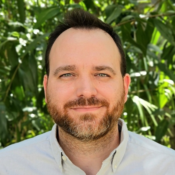
Romain Vaucher
- Senior Lecturer, Sedimentology
- romain.vaucher@jcu.edu.au
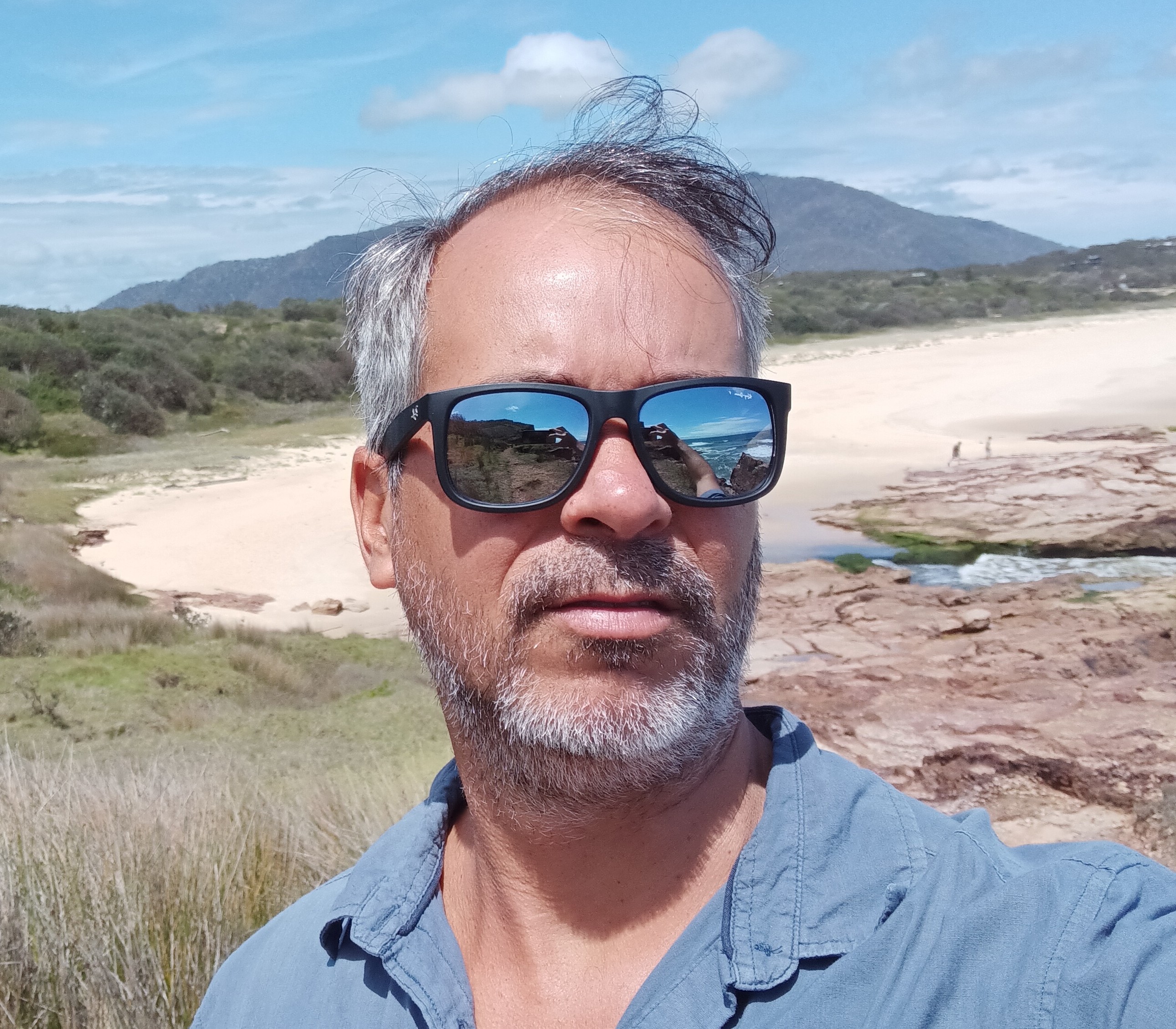
Rafael Cabral Carvalho
- Lecturer, Marine Geoscience
- rafael.cabralcarvalho@jcu.edu.au

Youseph Ibrahim
- Lecturer, Geoscience
- youseph.ibrahim@jcu.edu.au
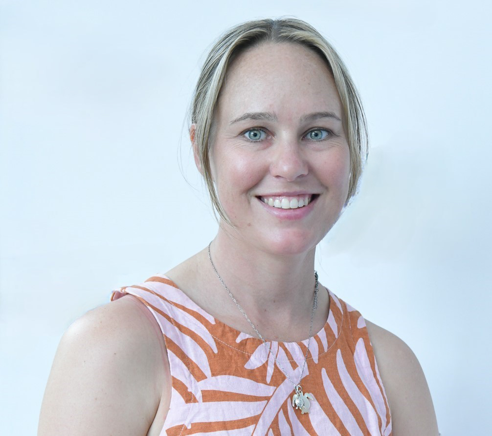
Natalie Robson
- Postdoctoral Research Fellow, Land and Sea Management
- natalie.robson@jcu.edu.au
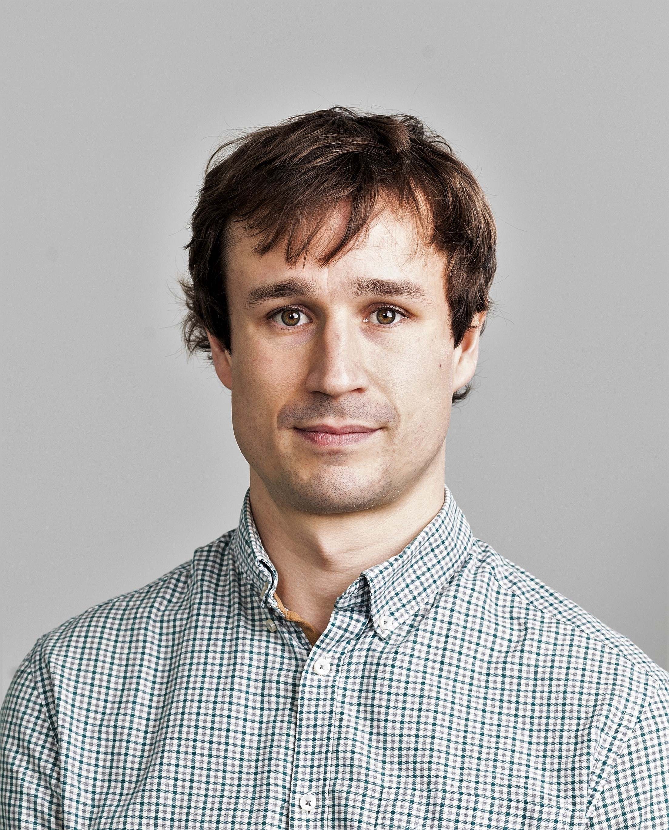
Alexandre Wadoux
- Lecturer, Soil Science
- alexandre.wadoux@jcu.edu.au

Alica Hoess
- Postdoctoral Research Fellow, Neutron Tomography Scanner
- alica.hoess@jcu.edu.au

Phoebe Stewart-Sinclair
- Lecturer, Environmental Science
- phoebe.stewartsinclair@jcu.edu.au
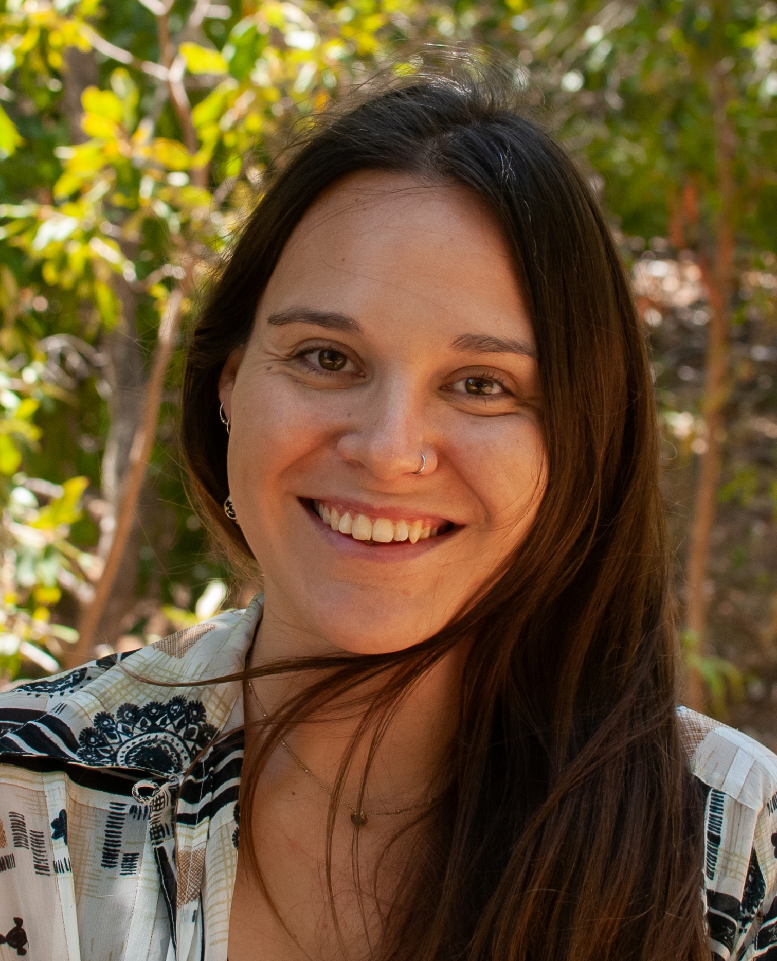
Bethany Smith
- Postdoctoral Research Fellow
- bethany.smith1@jcu.edu.au

Brandon Mahan
- Adjunct Senior Lecturer
- brandon.mahan@jcu.edu.au
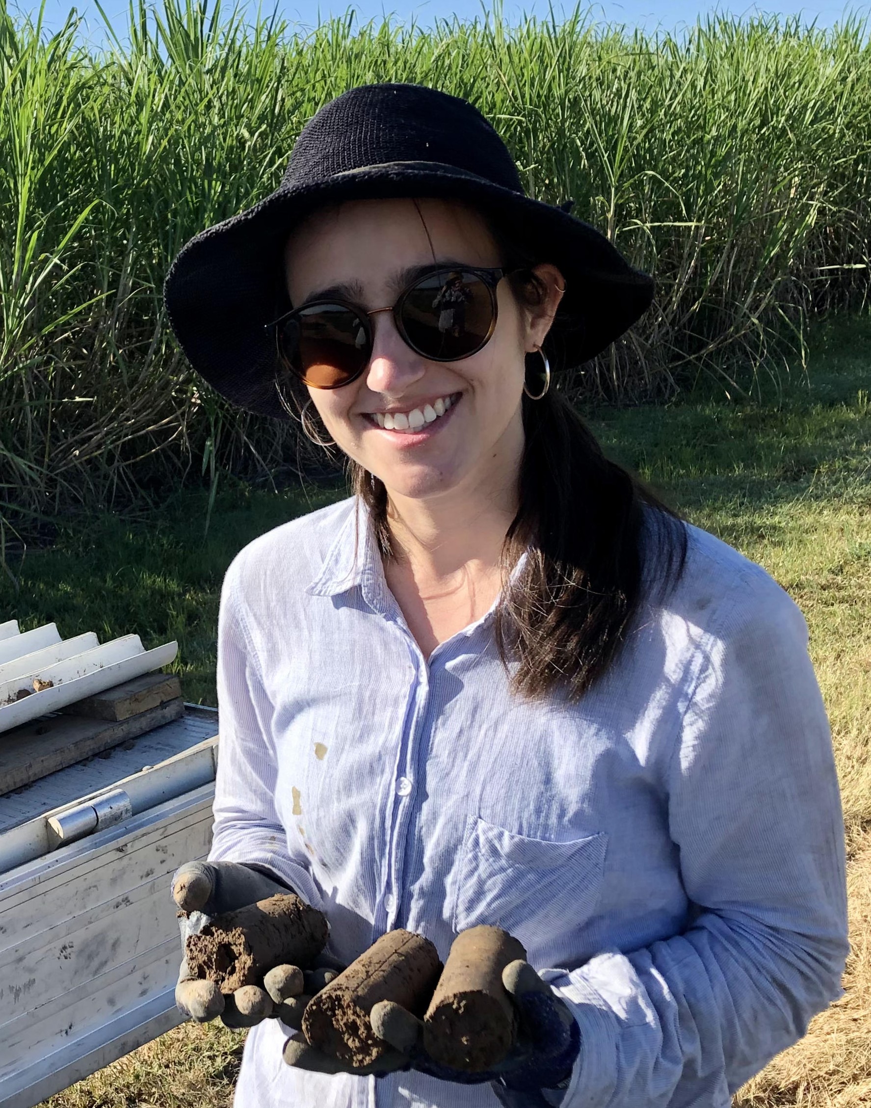
Hannah Green
- Research Officer
- hannah.green@jcu.edu.au
Palaeo-vegetation, biodiversity and early human dispersal through island Southeast Asia (Old ID 20779)
This study will use newly developed and fully validated isotope techniques to obtain robustly dated proxy records of vegetation change from the thick deposits of cave guano that occur extensively throughout island Southeast Asia (Sundaland). We will test the hypothesis that during the Last Glacial Period, there was a substantial contraction of the rainforest towards the equator into refugia. This led to the development of an open ‘savannah corridor’ connecting savanna north and south of the equator. The project will shed new light on the palaeoclimatology of the region and provide a major contribution to explaining modern biogeographic patterns across Sundaland, as well as the trajectories of early human dispersal through the region.
Development of in situ Sr isotope analyses in shark vertebrae (Old ID 27633)
Accurately ageing sharks underpins sustainable harvest and population recovery. The conventional ageing technique consists of counting growth bands in vertebrae, however, this approach suffers errors associated with over- and under-counting due to misidentifying periodic features and in-complete. More recently, element-to-element ratios have been explored as complementary tools for determining age and migratory, and in this context Mn:Ca shows promise as an age-specific fingerprint, and Sr:Ca has shown promise as one of the most prominent indicators of fresh/estuarial vs. marine environment (along with Ba:Ca), because marine environments typically have significantly higher Sr (and lower Ba) concentrations. This means that Sr:Ca—alongside Mn:Ca and Ba:Ca—can potentially be used as an annual marker, in particular for female sharks that annually return to freshwater environments to pup. It is well-known from fish otoliths (a calcified part of the inner ear) that marine and freshwater environments display distinct Sr isotope signatures (87Sr/86Sr ratios), and that fresh vs marine signatures can be readily distinguished at requisite length-scales (e.g. 50 microns) using in situ (“in place”, i.e. non-destructively) laser ablation multi-collector inductively coupled plasma mass spectrometry (or LA-MC-ICP-MS). Moreover, it is well-established that 87Sr/86Sr ratios can be determined in situ in bio-apatite (calcium phosphate or bone, such as that in fish vertebrae), and 87Sr/86Sr ratios in bio-apatite can be used to determine sub-annual mobility. And yet to date, Sr isotopes have never been investigated in shark vertebrae towards these ends. This study will combine in situ elemental compositions and 87Sr/86Sr ratios in the vertebrae of sharks to determine their ultimate viability as complementary ageing, environmental and migratory reconstruction tools.
The mineralization potential for nickel, scandium, chromium and cobalt of ultramafic complexes in NE Queensland (Old ID 26823)
NE Queensland has exploration potential for a wide range of critical metals. Nickel, cobalt and scandium mineralization in NE Queensland occurs at Greenvale Nickel, Lucknow, Brolga, Kokomo and Bell Creek deposits and is mostly associated with laterites developed on altered ultramafic complexes. Un-explored ultramafic complexes occur north of Greenvale, near the Valley of Lagoons, in the Hodkinson and Kangaroo Hill Formations, Barnard and Running River Metamorphics. This project seeks to provide more detailed characterization and an improved geological perspective, for ultramafic occurrences of northeast Queensland. It is intended to attract the attention of explores to their mineralization potential.
Helium prospectivity analysis of the north Rukwa Rift Basin. (Old ID 27645)
The goal of the project is to construct a comprehensive database characterising the reservoir and seal properties in the Rukwa succession. This work will involve compilation of legacy results compiled from past literature, theses and unpublished data, along with a focused analytical campaign on targeted samples designed to fill in gaps developing a robust property distribution database. The analytical campaign will be focus on a combination of techniques to analyse prospective reservoir sandstone samples and mudstone and bentonite seal units.
Gold Mineralisation Styles in the Alice River Gold Field, FNQ (Old ID 23601)
The deposits along Alice River, including the Alice Queen mine are aligned along a lineament, interpreted as the Alice River Shear zone. The GSQ (Geological Survey of Queensland), in a recently completed study of the geology of Cape York Peninsula has interpreted the deposits as orogenic gold deposits based on outcrop patterns and limited field data. In spite of this interpretation, the age, mineral association, associated intrusives and structural styles of the deposits remains unknown and they have not been studied in details. Spitfire Materials is interested to know the age and style of mineralisation as this will assist future exploration.
Is satellite technology telling the truth? Perspectives from a coral reef. (Old ID 22464)
The aim of this project is to investigate fine scale yet synoptic variability in water surface temperature on a coral reef. As temperature plays a major in the health of coral ecosystems, understanding its spatial and temporal variability will aid predictions and monitoring of thermally driven impacts such as coral bleaching. Imagery obtained from an Unmanned Airborne System (UAS) will provide the critical link between in-situ observations and satellite data, allowing remote sensing to be used at scales appropriate to thermal and hydrodynamic drivers on the reef.
Intertidal and Subtidal Habitat Mapping and Conservation Values Assessment for Central Queensland State Waters (Old ID 23447)
The project will deliver the interim Queensland Intertidal and Subtidal Classification Scheme; seascape-scale habitat mapping from Baffle Creek to the Fitzroy River delta; and an Aquatic Conservation Assessment of the seascape-scale habitat units as a tool for management and planning.
Developing hyperspectral drone technology for coral reef bathymetric mapping (Old ID 22931)
The aim of this project is to develop a rapid and cost-effective technique for mapping shallow water bathymetry in coral reef environments. As water depth and reef structure is an important input for creating benthic habitat models, a robust means for generating this information is required. Current techniques use either coarse resolution satellite images or highly expensive boat-based SONAR. This project will instead use optical measurements obtained from a remotely piloted aircraft system (drone) to provide highly detailed depth measurements. This in turn can be used to calibrate and validate satellite models, and used to scale bathymetry over broader areas.
3D mapping and monitoring coral reefs population and community dynamics: EcoRRAP PhD scholarship (Old ID 27302)
The aim of this project is to fill key knowledge gaps in natural rates of reef recovery and adaptation to climate change through upscaling spatial analysis and monitoring. The overreaching goal is to improve the spatial extent in monitoring techniques and workflows used to investigate drivers of coral reef recovery and adaptation to climate change, to better guide managers in the planning and design of coral reef protection and conservation programs, including restoration interventions. The project will involve fieldwork and require high level of programming and statistical skills.
Strengthening incentives for improved grassland management in China and Mongolia (Old ID 23364)
The aim of the project is to improve grassland management practices and pastoral livestock systems in China and Mongolia through research into the incentives driving these systems and the design of incentive based policies. Within this overall aim, there are three main objectives: (a) to design more efficient incentive schemes for improved grassland and livestock management in China; (b) to design more efficient incentives for improved livelihoods and grassland condition in Mongolia; and (c) to facilitate linkages between China and Mongolia for improving grassland management.
Organic matter, sodicity and soil structure
- 1998
- Oxford University Press
- Researchers:Paul Nelson
Seafloor morphology and acoustic facies of the George V Land shelf
- 2003
- Researchers:Rob Beaman
Title:
PhD, James Cook University
End Date:
01 Jan 2010
End Date:
01 Jan 2003
Start Date:
01 Jan 2020
End Date:
01 Jan 2025
Start Date:
01 Jan 2023
End Date:
01 Jan 2025
Title:
JCU Distinguished Professor
Start Date:
01 Jan 2010
Start Date:
01 Jan 2019
Title:
Malayalam
Title:
English
Title:
Tamil
Title:
Hindi