
College of Science & Engineering

Sophia Love
- Doctor of Philosophy (Natural and Physical Sciences)
- sophie.love@jcu.edu.au
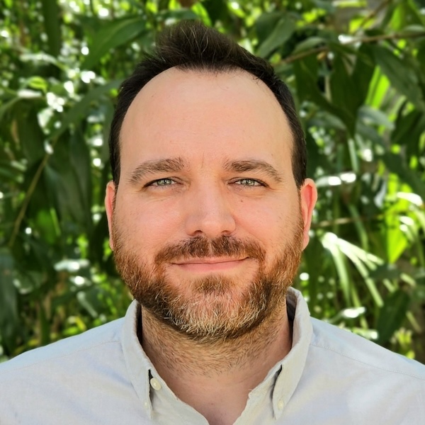
Romain Vaucher
- Senior Lecturer, Sedimentology
- romain.vaucher@jcu.edu.au
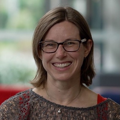
Jenny Fisher
- Associate Dean, Learning and Teaching
- jenny.fisher@jcu.edu.au
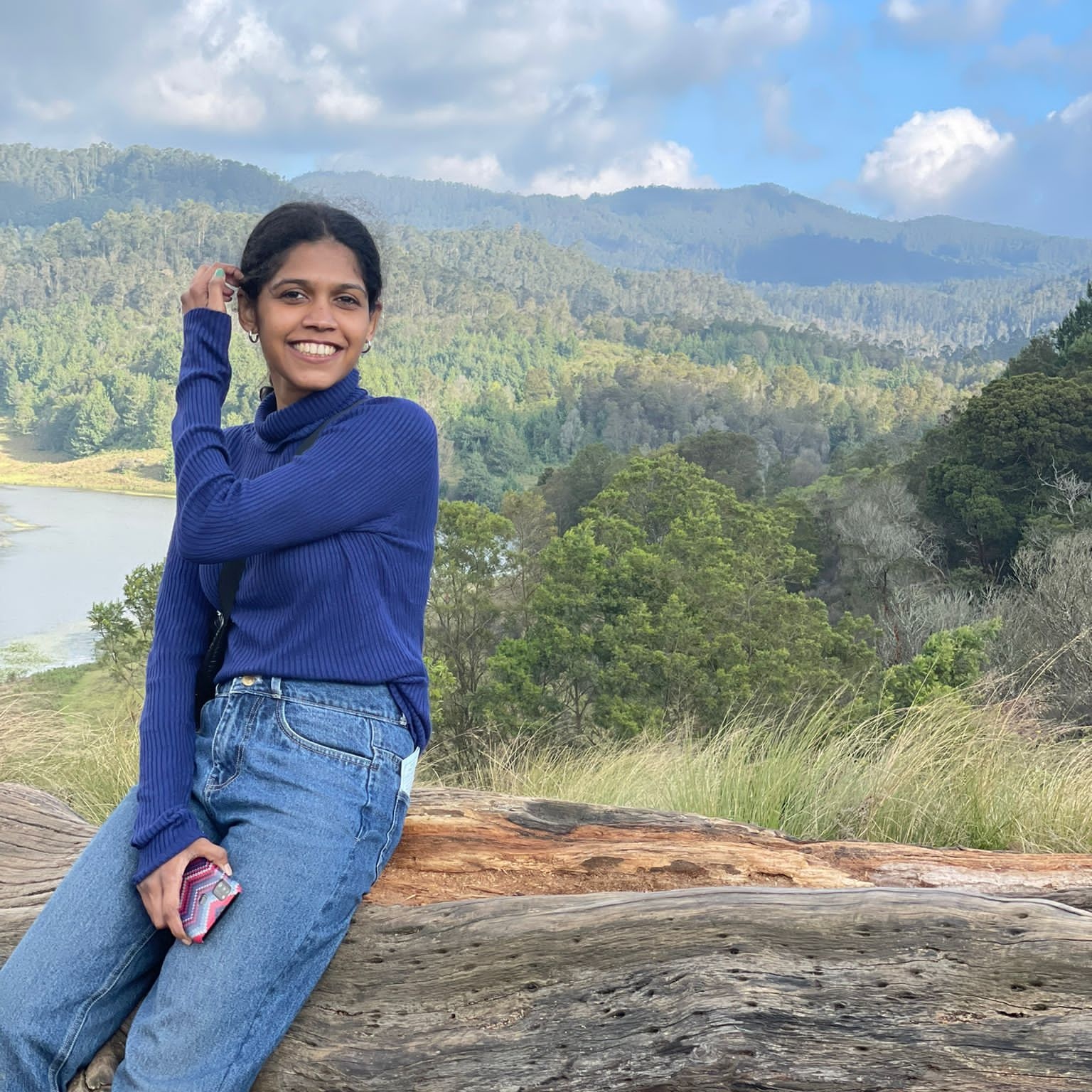
Ambili Narayanan
- Doctor of Philosophy (Natural and Physical Sciences)
- ambili.narayanan@my.jcu.edu.au

Sarfaraz Ali
- Postdoctoral Research Fellow
- sarfaraz.ali@jcu.edu.au
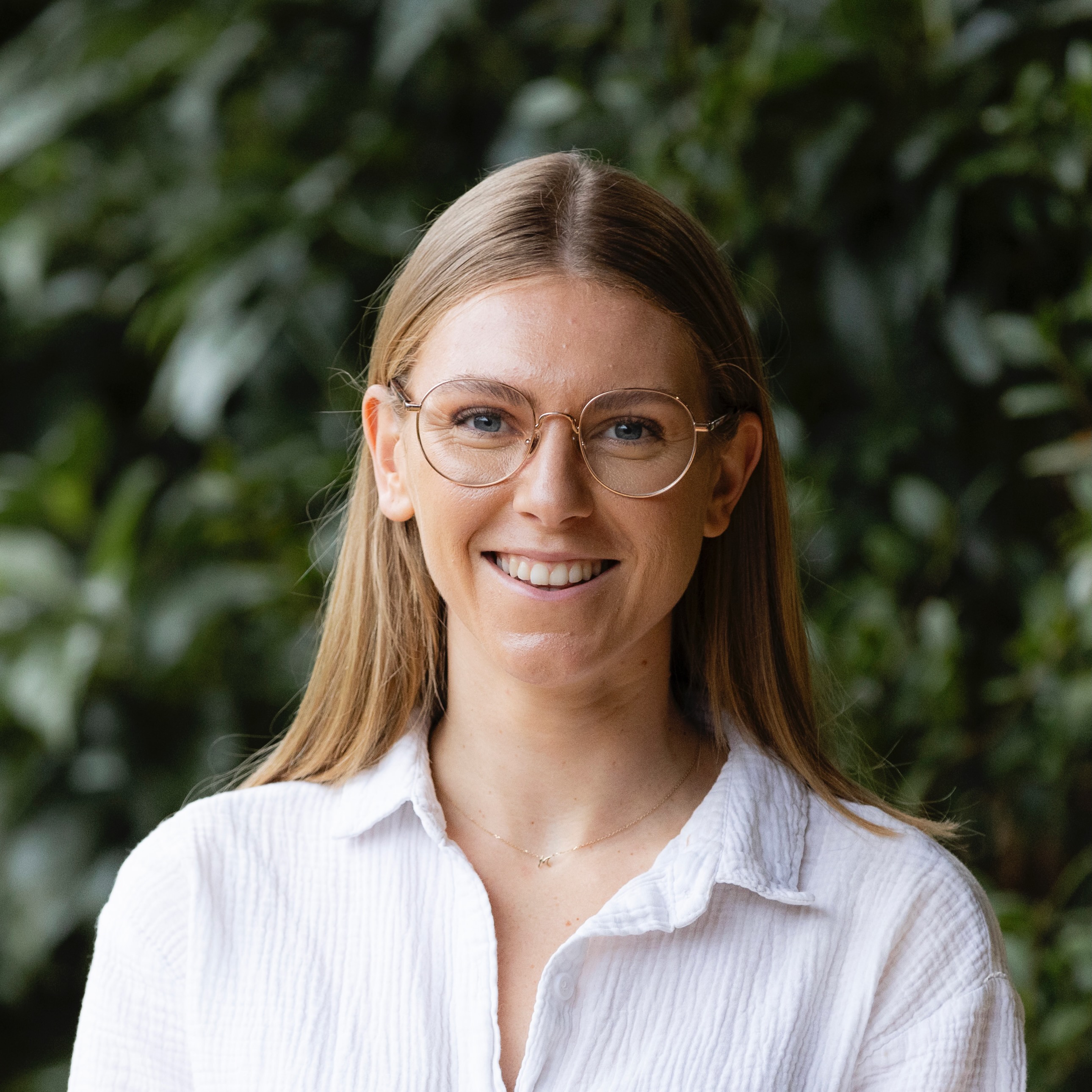
Mikaeylah Davidson
- Postdoctoral Research Fellow
- mikaeylah.davidson@jcu.edu.au
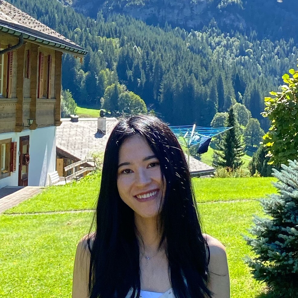
Liuxin Chen
- Lecturer
- liuxin.chen@jcu.edu.au
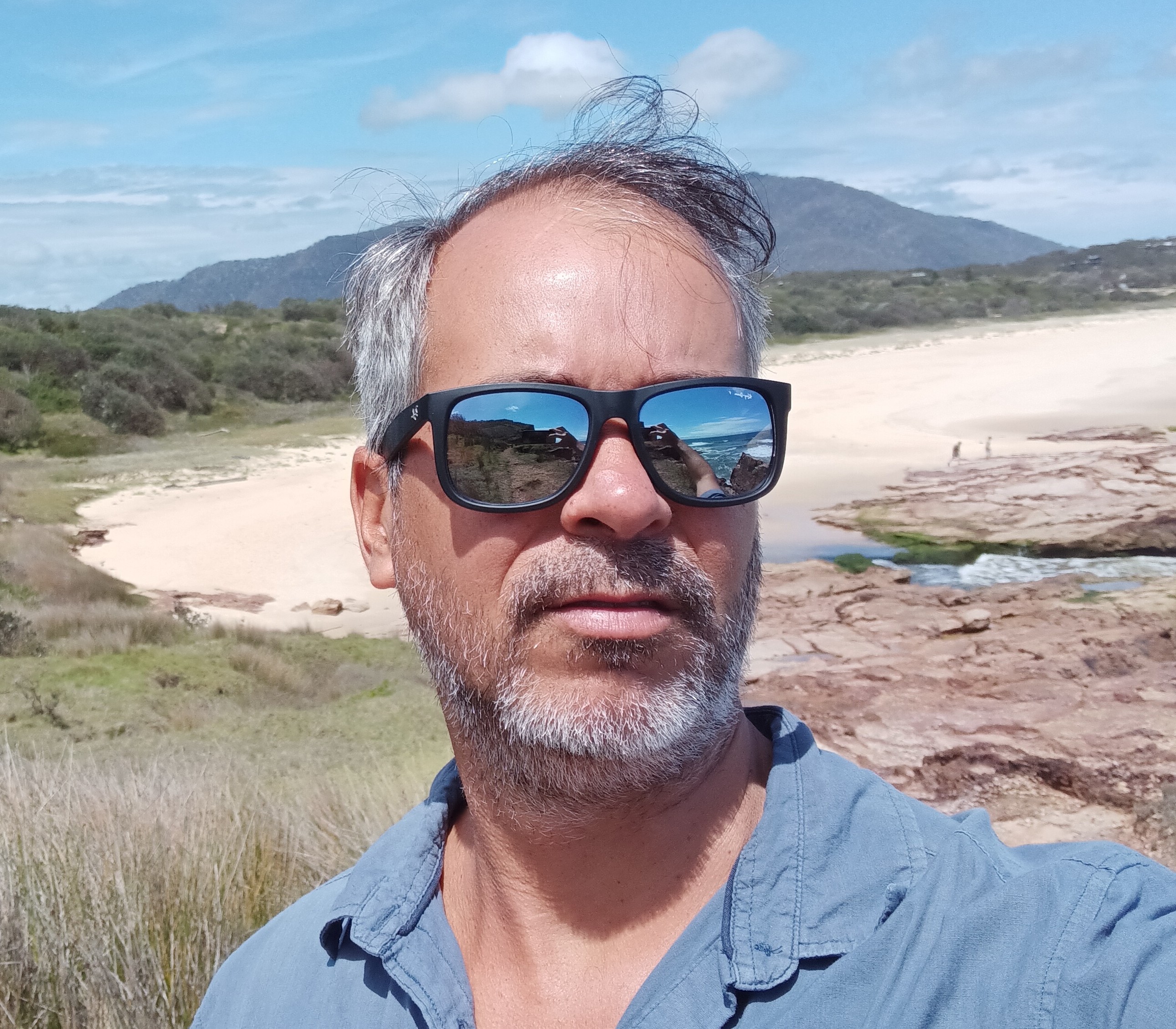
Rafael Cabral Carvalho
- Lecturer, Marine Geoscience
- rafael.cabralcarvalho@jcu.edu.au
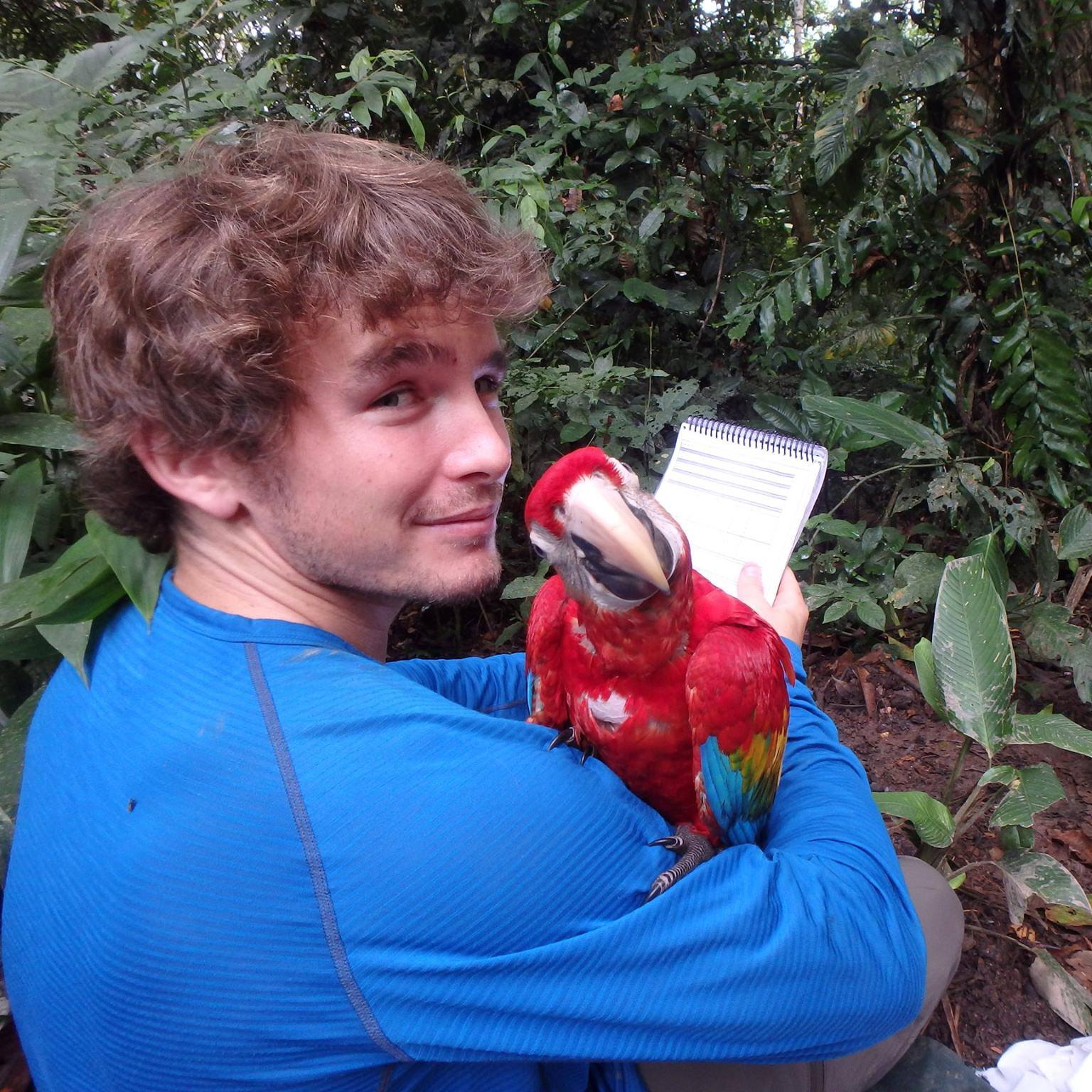
Tom Lloyd
- Postdoctoral Research Fellow, Global Ecosystems
- tom.lloyd@jcu.edu.au
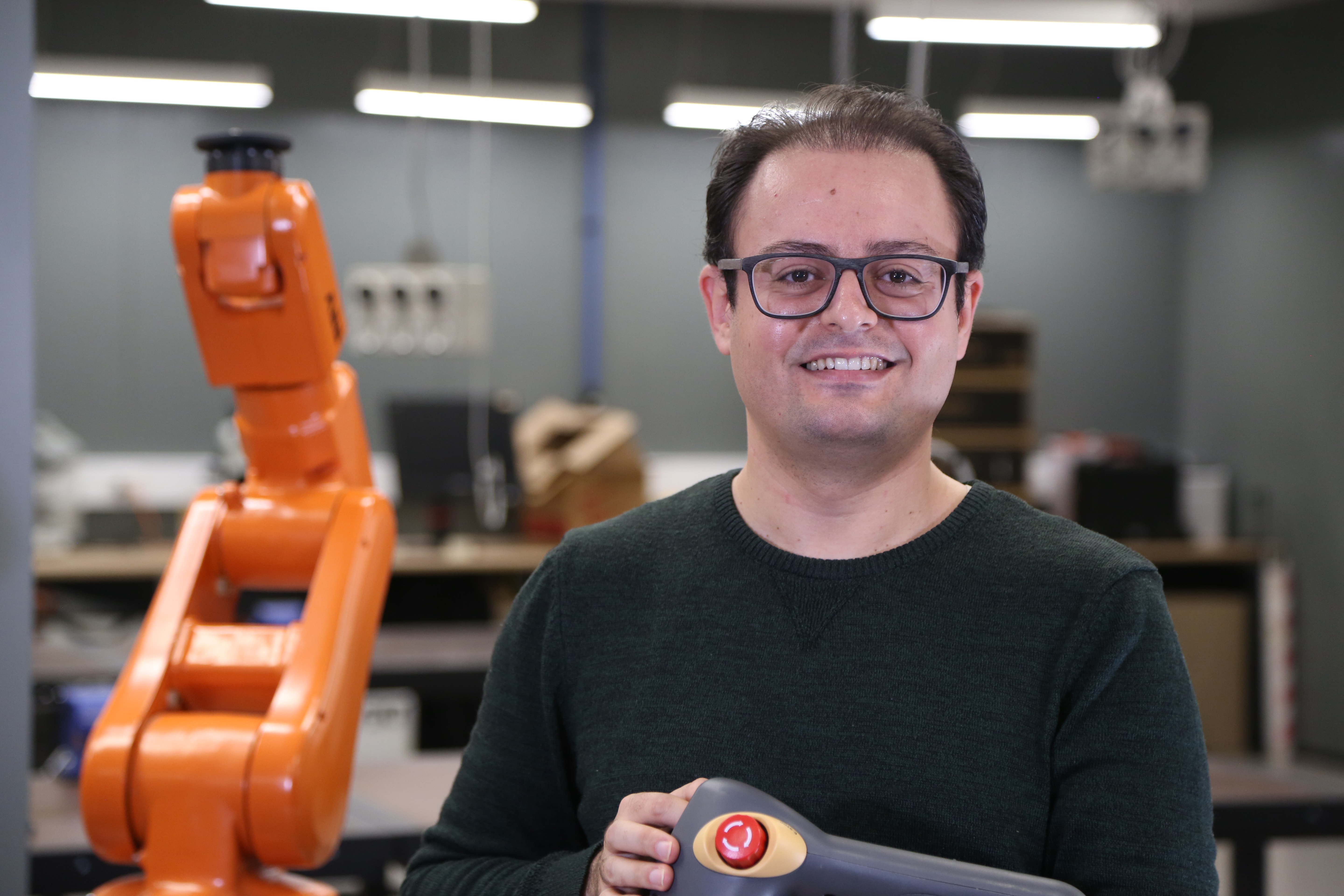
Mohamadreza Chalak Qazani
- Lecturer, Mechanical Engineering
- mohamadreza.chalakqazani@jcu.edu.au
ResPax Digital Passbook (Phase II) (Old ID 29015)
Ickjai Lee
15 Jun 2023 - 14 Jun 2024
To continue the Phase I of project to further develop digital tools for collecting tourism data in the region to enable better decisionmaking.
Gold Mineralisation Styles in the Alice River Gold Field, FNQ (Old ID 23601)
Paul Dirks
01 Aug 2017 - 31 Mar 2018
The deposits along Alice River, including the Alice Queen mine are aligned along a lineament, interpreted as the Alice River Shear zone. The GSQ (Geological Survey of Queensland), in a recently completed study of the geology of Cape York Peninsula has interpreted the deposits as orogenic gold deposits based on outcrop patterns and limited field data. In spite of this interpretation, the age, mineral association, associated intrusives and structural styles of the deposits remains unknown and they have not been studied in details. Spitfire Materials is interested to know the age and style of mineralisation as this will assist future exploration.
Repair and Restoration of Priority Coastal Habitat and Wetlands (Old ID 26660)
Nathan Waltham
01 Oct 2019 - 31 Jan 2022
Coastal wetlands are under threat from a range of past land use changes. Efforts to restore the value back into wetlands is underway in many places, and demonstrating the success of these efforts requires access to scientific data. Here we will partner with Greening Australia to complete a range of wetland surveys to evaluate the restoration success. Field work will include water quality, aquatic flora and fauna and hydrology (water balance) calculations. These data will assist Greening Australia demonstrate program success, while also educating local communities around the value of coastal wetlands.
Abbot Point Marine Water Quality Monitoring (Old ID 23147)
Nathan Waltham
01 Apr 2017 - 30 Jun 2017
This project will provide near-surface concentrations of non-algal particulates (NAP or sediments) derived from MODIS imagery and the CSIRO bio-optical algorithms developed for the Great Barrier Reef (pixel resolution of 1km) as part of a dredging campaign at Abbot Point. These data will be used by the North Queensland Bulk Ports Cop to report against compliance conditions of approval for this activity. The MODIS imagery will be assessed for the entire dredging activities.
ARC Research Hub for Supercharging Tropical Aquaculture Through Genetic Solutions (Old ID 27374)
Dean Jerry
09 Sep 2021 - 31 Dec 2025
This project aims to integrate cutting edge genetic and genomic approaches into innovative aquaculture enterprises that farm in tropical northern Australia. It will deliver the requisite genetic knowledge to instigate world-leading and highly productive breeding programs for five species (barramundi, pearl oyster, prawn, grouper and marine seaweed), along with a novel understanding of the genetic basis of disease resistance and how the production environment interfaces with the bacterial microbiome, pathogens and water quality to cause disease. It will increase Australia's capacity to deliver advanced genetics outcomes to the aquaculture sector, while increasing productivity, international competitiveness, and lowered risk due to disease.
Constraining the relationship between mantle discontinuities and convection processes beneath the Australian Plate (Old ID 27407)
Lauren Waszek
17 May 2017 - 31 Aug 2023
Earth’s mantle is characterised by hot upwelling plumes and cold downgoing slabs, some of which are deflected at various depths in the upper mantle. The deflection shows some relationship to seismic discontinuities. which arise from mineral and compositional changes, but this is poorly understood. Consequently, the cause of deflection remains debated. The edges of the Australian tectonic plate display a range of subduction processes, providing an ideal natural laboratory. This project will establish any link between the behaviour of slabs and properties of mantle discontinuities, determine the influence of convection on discontinuities, and investigate correlations between deep and shallow structures.
Improving the resilience of existing housing to severe wind events (Old ID 21317)
John Ginger
01 Jan 2014 - 30 Jun 2017
Australian houses built prior to the mid 1980s do not offer the same level of performance and protection during windstorms as houses constructed to contemporary building standards. This project will develop the evidence base for risk mitigation by devising simple practical and economic upgrading options for existing houses. The primary objective of this project is to develop cost-effective strategies for mitigating damage to housing from severe windstorms across Australia. Outputs from this project will target a range of users from policy development through to homeowners and builders on recommended actions to improve resilience of existing housing.
Is satellite technology telling the truth? Perspectives from a coral reef. (Old ID 22464)
Karen Joyce
01 Dec 2015 - 31 Dec 2017
The aim of this project is to investigate fine scale yet synoptic variability in water surface temperature on a coral reef. As temperature plays a major in the health of coral ecosystems, understanding its spatial and temporal variability will aid predictions and monitoring of thermally driven impacts such as coral bleaching. Imagery obtained from an Unmanned Airborne System (UAS) will provide the critical link between in-situ observations and satellite data, allowing remote sensing to be used at scales appropriate to thermal and hydrodynamic drivers on the reef.
Electromagnetic Field (EMF) Radiation Study for ESCO Pacific (Old ID 22962)
Ahmad Zahedi
29 Aug 2016 - 21 Oct 2016
To investigate the current Australian and International Guidelines and allowable EMF radiation limits to provide the regulatory context to ESCO Pacific for their planned solar farm as well as measure the current baseline EMF radiation levels around existing power lines, various locations on the site of intended solar farm as well as in-home EMF radiation measurements in selected surrounding residential properties to assess EMF emission compliance.
Intertidal and Subtidal Habitat Mapping and Conservation Values Assessment for Central Queensland State Waters (Old ID 23447)
Rob Beaman
15 Feb 2017 - 30 Jun 2018
The project will deliver the interim Queensland Intertidal and Subtidal Classification Scheme; seascape-scale habitat mapping from Baffle Creek to the Fitzroy River delta; and an Aquatic Conservation Assessment of the seascape-scale habitat units as a tool for management and planning.
Organic matter, sodicity and soil structure
- 1998
- Oxford University Press
- Researchers:Paul Nelson
Argument free clustering via boundary extraction for massive point-data Sets
- 2002
- Researchers:Ickjai Lee
Title:
PhD, James Cook University
Start Date:
01 Jan 2014
End Date:
01 Jan 2018
Start Date:
01 Jan 2005
End Date:
01 Jan 2005
Start Date:
01 Jan 2001
End Date:
01 Jan 2003
Start Date:
01 Jan 2022
Start Date:
01 Jan 2012
Start Date:
01 Jan 2017
End Date:
01 Jan 2022
Start Date:
01 Jan 2017
End Date:
01 Jan 2017
Start Date:
01 Jan 2017
Start Date:
01 Jan 2014
Title:
AeRO Cloud Grants Program
Start Date:
01 Jan 2021