
Earth & Environmental Sciences
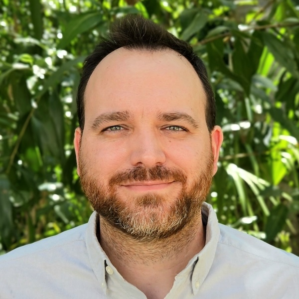
Romain Vaucher
- Senior Lecturer, Sedimentology
- romain.vaucher@jcu.edu.au
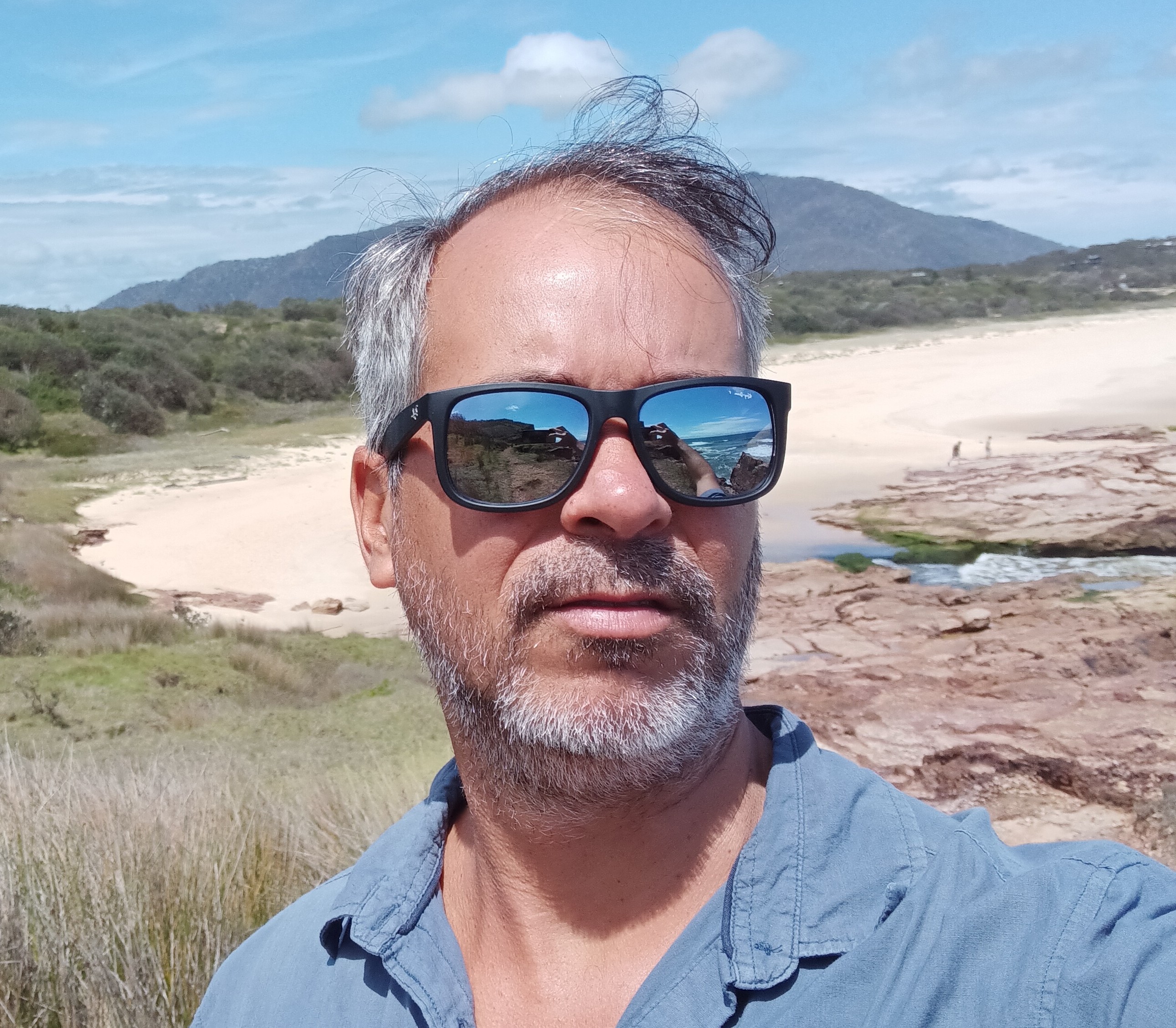
Rafael Cabral Carvalho
- Lecturer, Marine Geoscience
- rafael.cabralcarvalho@jcu.edu.au

Youseph Ibrahim
- Lecturer, Geoscience
- youseph.ibrahim@jcu.edu.au
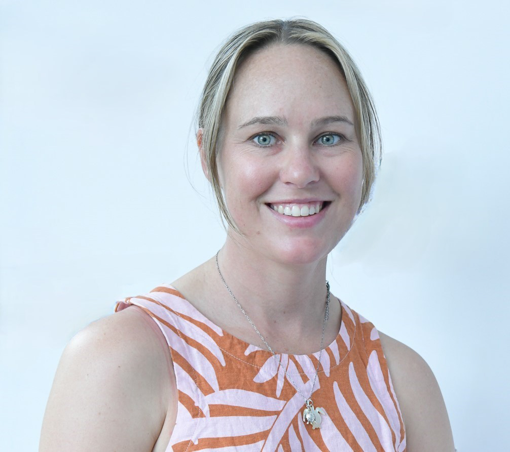
Natalie Robson
- Postdoctoral Research Fellow, Land and Sea Management
- natalie.robson@jcu.edu.au
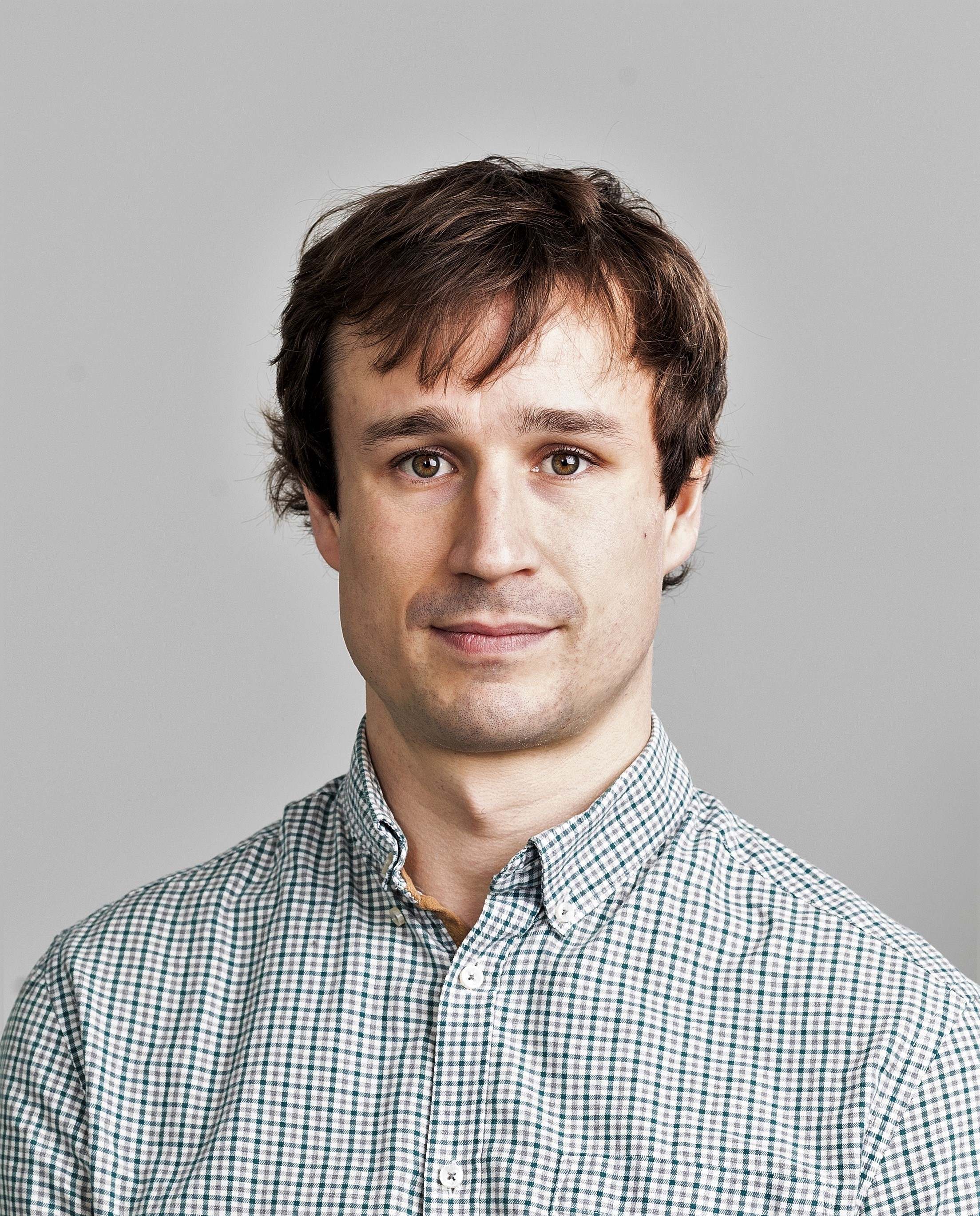
Alexandre Wadoux
- Lecturer, Soil Science
- alexandre.wadoux@jcu.edu.au

Alica Hoess
- Postdoctoral Research Fellow, Neutron Tomography Scanner
- alica.hoess@jcu.edu.au

Phoebe Stewart-Sinclair
- Lecturer, Environmental Science
- phoebe.stewartsinclair@jcu.edu.au
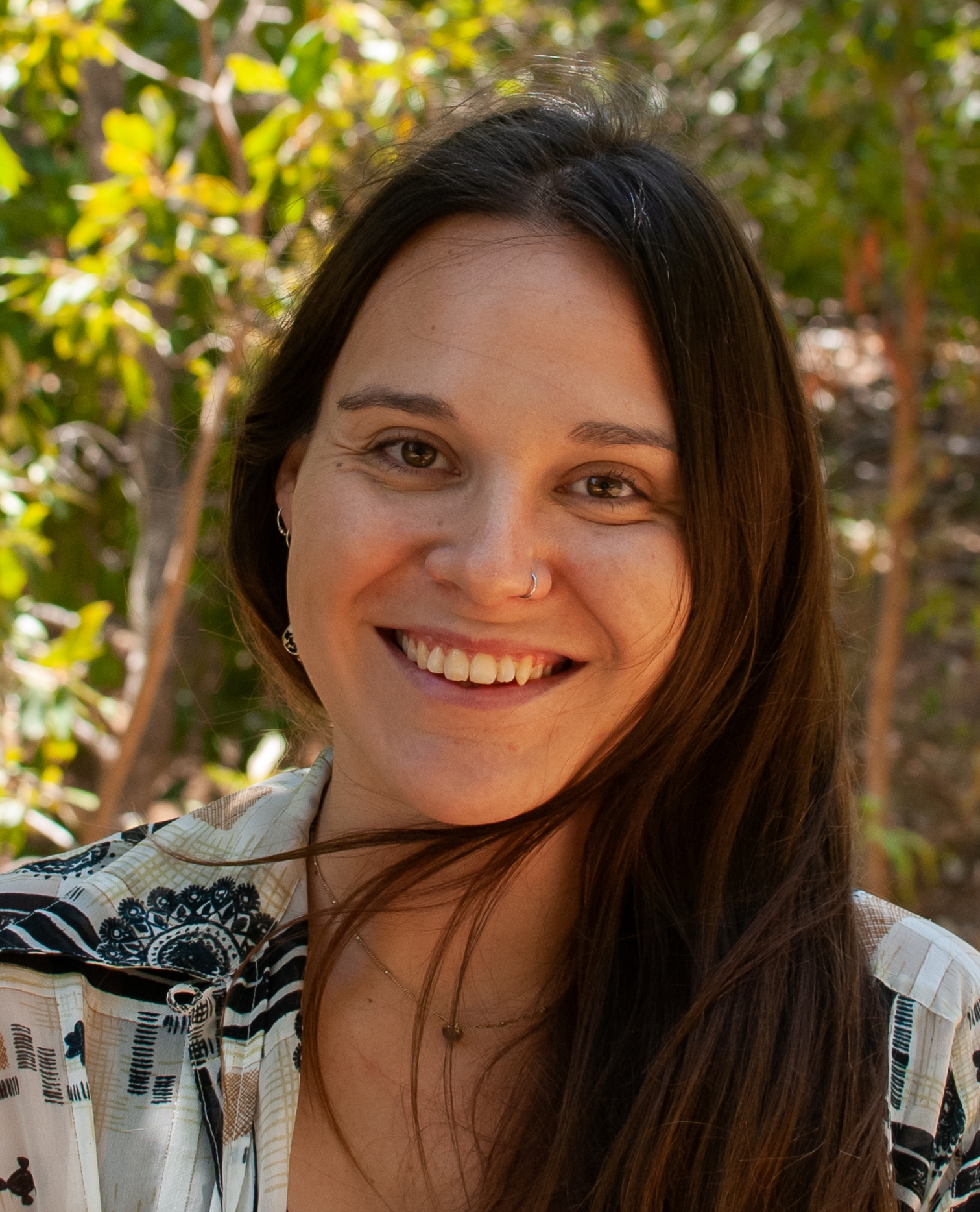
Bethany Smith
- Postdoctoral Research Fellow
- bethany.smith1@jcu.edu.au

Brandon Mahan
- Adjunct Senior Lecturer
- brandon.mahan@jcu.edu.au
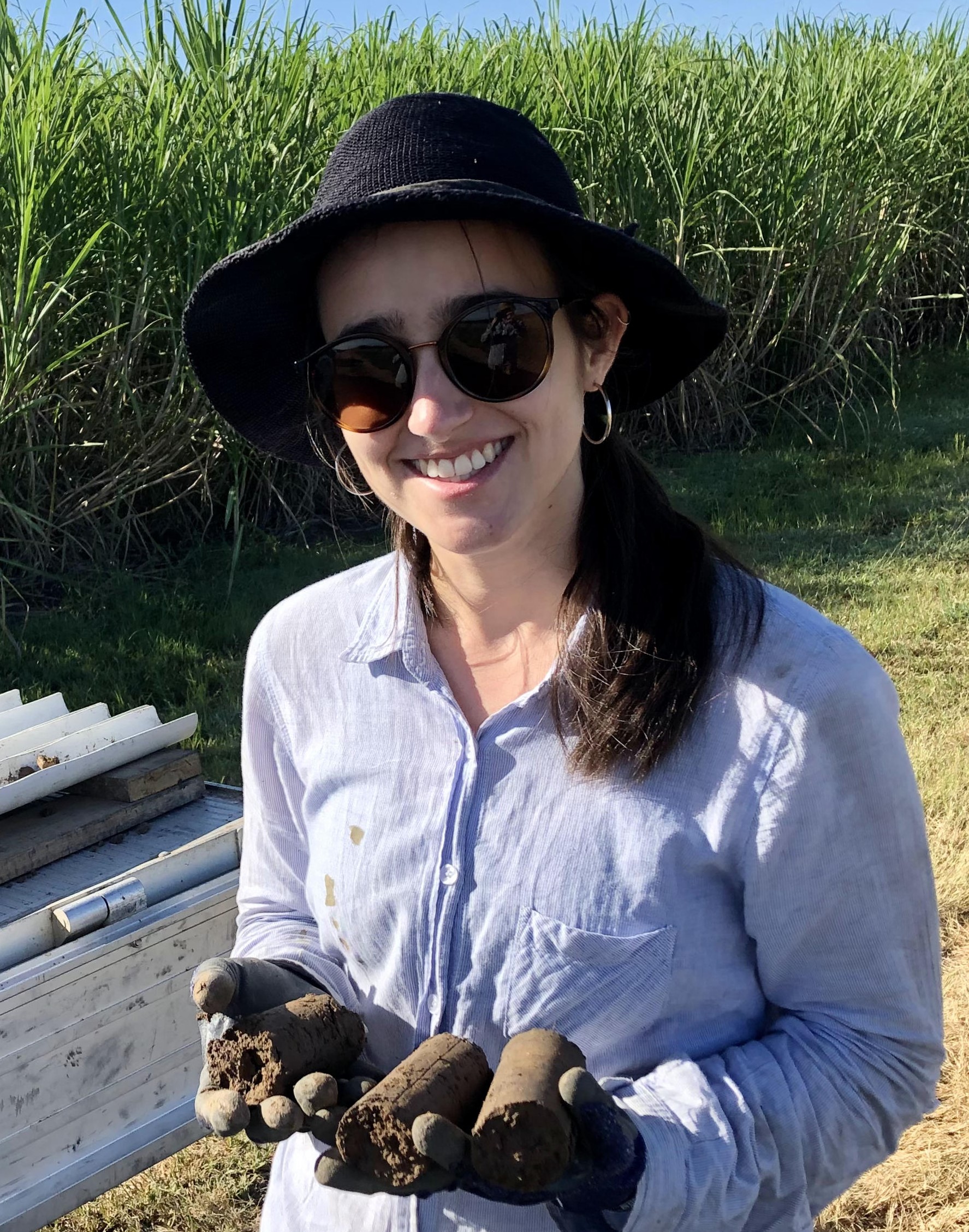
Hannah Green
- Research Officer
- hannah.green@jcu.edu.au
The potential for indium mineralization in the Herberton Mineral Field, NE QLD (Old ID 26820)
Ioan Sanislav
05 Apr 2020 - 31 Jan 2024
The project aims to: 1. Investigate the mineralogy, paragenesis and geochemistry of indium at the Baal Gammon deposit and other similar occurrences in the region; 2. Determine the distribution of indium in the host rocks; 3. Identify the factors controlling the location and formation of the indium mineralisation and; 4. Discover mineralogical, textural and geochemical zoning patterns that could be used as vectors to ore. In so doing, we will identify the factors controlling the location and formation of the indium mineralization in association with tin-tungsten and polymetallic ore deposits. A geological model will be developed for use in exploration targeting.
Traps ‘n’ maps: collecting data today to better understand the past tomorrow. (Old ID 27767)
Cassandra Rowe
25 Jul 2022 - 31 Dec 2024
The study of pollen to reconstruct landscapes of the past plays an important role across many environmental research and management goals. However, more is being asked of this data, in particular, the need to better understand past plant abundance and land-cover changes. To achieve this, we need a quantified understanding of the relationship between modern day pollen and vegetation, which requires large-scale data collection. Here, we propose developing a comprehensive modern pollen-matching vegetation records across major climate and biogeographic zones in Australia by combining expertise in paleoecology and citizen science with nationally funded infrastructure, TERN (Terrestrial Ecosystem Research Network).
Vanadium Extraction and Processing Innovation Project’
Ioan Sanislav
27 Feb 2026 - 30 Nov 2028
This project aims to advance the projects related to vanadium extraction and processing from the Toolebuc Formation in North Queensland and to develop capacity in North Queensland to assist with the emerging vanadium economy .
Assessing risk within social-ecological systems. Using capacity building to operationalise a spatial decision support tool, guiding resilient livelihood development in Solomon Islands (Old ID 27802)
Bethany Smith
01 Dec 2022 - 31 May 2024
Rural coastal communities in the Solomon Islands are experiencing increasing impact from food insecurity, poverty, and global change. To help inform negotiations and decision making in relation to resilient livelihood development a risk-based spatial decision support tool (SDST) has been developed. SDST outputs identify the key environmental, socioeconomic, and institutional factors that contribute to community-level risk. To build the long-term impact of the project, a capacity building model has been developed which focuses on training in-country partners to independently operationalise the SDST within Solomon Islands. This supports the broader application of the SDST within the region, advancing its potential to contribute to resilient livelihood development.
Advancing the Buchanan Dome Critical Minerals Project through advanced geological and metallurgical studies
Ioan Sanislav
01 May 2026 - 30 Jun 2028
This project is a Critical Minerals Trailblazer-supported collaboration between James Cook University and Strategic Metals Australia to advance Queensland's first major lithium-bearing pegmatite system, the Buchanan Dome Critical Minerals Project, toward commercial feasibility. The project will deliver the geological, mineralogical, and metallurgical knowledge required to de-risk the resource and define viable lithium extraction pathways, with the aim of integrating the project into a Queensland battery minerals supply chain. Key activities include structural mapping, lithium deportment studies, beneficiation testing, and battery-grade graphite production.
Advancing the Buchanan Dome Critical Minerals Project through advanced geological and metallurgical studies
Youseph Ibrahim
01 May 2026 - 30 Jun 2028
This project is a Critical Minerals Trailblazer-supported collaboration between James Cook University and Strategic Metals Australia to advance Queensland's first major lithium-bearing pegmatite system, the Buchanan Dome Critical Minerals Project, toward commercial feasibility. The project will deliver the geological, mineralogical, and metallurgical knowledge required to de-risk the resource and define viable lithium extraction pathways, with the aim of integrating the project into a Queensland battery minerals supply chain. Key activities include structural mapping, lithium deportment studies, beneficiation testing, and battery-grade graphite production.
Tectonic and Geodynamic Controls on Critical Mineral Systems in Proterozoic Australia
Youseph Ibrahim
01 Jun 2026 - 31 Dec 2026
This project investigates the tectonic and geodynamic controls on critical mineral systems in Proterozoic Australia. Australia's supergiant sediment-hosted deposits, including Mount Isa, Century, McArthur River, and Olympic Dam, formed in Proterozoic basins during the assembly and breakup of the Nuna supercontinent, yet the conditions that enabled mineralisation at this scale remain poorly understood. These basins are typically interpreted using geodynamic frameworks built for the modern Earth, which assume colder, stronger lithosphere than existed at the time.
Using coupled thermo-mechanical and landscape evolution modelling (Underworld and Badlands), the project will test how rift mode under elevated Proterozoic geotherms controls basin architecture, fault spacing, heat flow, and sediment distribution. Coupled thermo-mechanical and landscape evolution models will be tested against field data from Proterozoic terranes in northern Australia,
A Proterozoic Framework for Australia's Critical Mineral Systems
Youseph Ibrahim
01 Jun 2026 - 01 Jun 2027
Recent advances in high-performance computing and open-source geodynamic modelling codes now make it possible to simulate the complexity of Proterozoic tectonic processes in three dimensions, capturing how a hotter lithosphere rifts, how basins subside and fill, and how heat and fluids move through the crust over millions of years. This project leverages these technologies to investigate:
• RQ1: How does the mode of continental rifting under hot Proterozoic conditions control basin architecture, fault spacing, and subsidence patterns?
• RQ2: How do wide rift basins evolve towards narrow rifts, and what are the structural and geomorphological consequences of narrow rift development within already-thinned crust?
• RQ3: How is strain partitioned when a wide rift is inverted, and does this explain the structural traps and fluid pathways that characterise world-class Proterozoic ore districts?
Using radiocarbon to measure microbial respiration of charcoal (Old ID 22994)
Michael Bird
18 Jul 2016 - 17 Jul 2017
Building on previous AINSE funding, this project aims to determine the contribution of indigenous charcoal carbon to CO2 respired from the charcoal after three years environmental exposure on a tropical rainforest soil surface at the Daintree Rainforest Observatory, Cape Tribulation. The results will unequivocally demonstrate the degree to which the microbial carbon pool contains carbon derived from radiocarbon dead charcoal.
Satellite Based Water Analysis and Drought Planning in Northwest Qld
Ben Jarihani
01 Aug 2023 - 23 Apr 2025
This project will utilize satellite imagery to map and monitor small water bodies and farm dams to
improve grazing land management. The project aims to extract time series of water areas from
the satellite images, perform time series analysis to assess the shrinkage or expansion of the
water bodies, water levels, and determine their precise locations.
The focus is on understanding the availability and dynamics of these water resources, which are
vital for livestock, domestic use and wildlife habitats.
This project will be a partnership between SGNRM and JCU.
Stochastic models support rapid peopling of Late Pleistocene Sahul
- 2021
- Nature Publishing Group
- Researchers:Sean UlmMichael Bird
A global carbon and nitrogen isotope perspective on modern and ancient human diet
- 2021
- National Academy of Sciences
- Researchers:Michael BirdSean UlmChris Wurster
Start Date:
01 Jan 2020
Title:
English
Title:
Arabic
Start Date:
01 Jan 2025
Title:
AUGEN committee
Start Date:
01 Jan 2021
Start Date:
01 Jan 2023
Start Date:
01 Jan 2023
Start Date:
01 Jan 2022
Start Date:
01 Jan 2022
Start Date:
01 Jan 2021