
College of Science & Engineering

Sophia Love
- Doctor of Philosophy (Natural and Physical Sciences)
- sophie.love@jcu.edu.au
Elle Robertson
- Doctor of Philosophy (Agriculture, Environmental and Related Studies)
- elle.robertson@jcu.edu.au
Romain Vaucher
- Senior Lecturer, Sedimentology
- romain.vaucher@jcu.edu.au

Jenny Fisher
- Associate Dean, Learning and Teaching
- jenny.fisher@jcu.edu.au
Ambili Narayanan
- Doctor of Philosophy (Natural and Physical Sciences)
- ambili.narayanan@my.jcu.edu.au

Sarfaraz Ali
- Postdoctoral Research Fellow
- sarfaraz.ali@jcu.edu.au

Mikaeylah Davidson
- Postdoctoral Research Fellow
- mikaeylah.davidson@jcu.edu.au
Liuxin Chen
- Lecturer
- liuxin.chen@jcu.edu.au
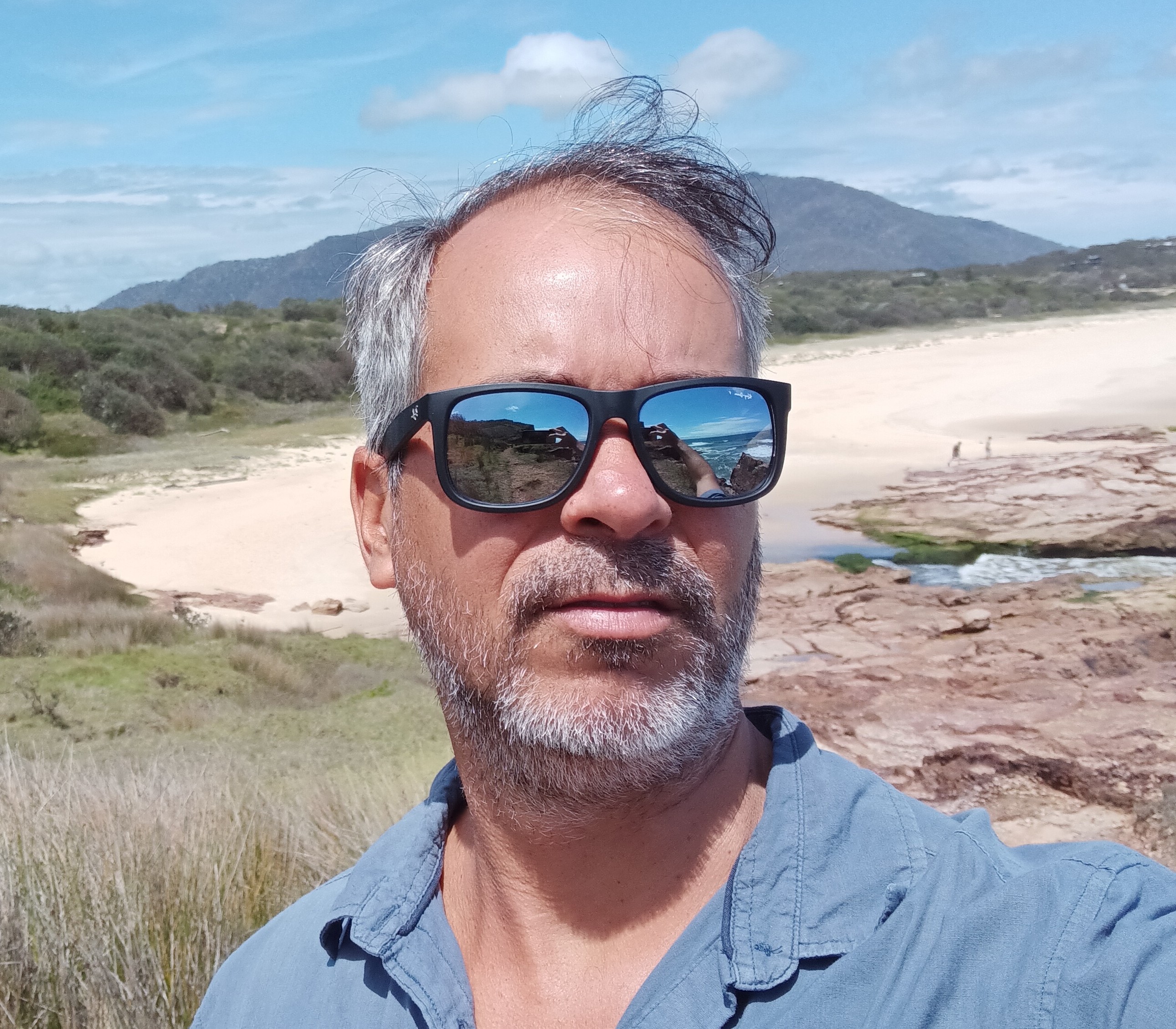
Rafael Cabral Carvalho
- Lecturer, Marine Geoscience
- rafael.cabralcarvalho@jcu.edu.au
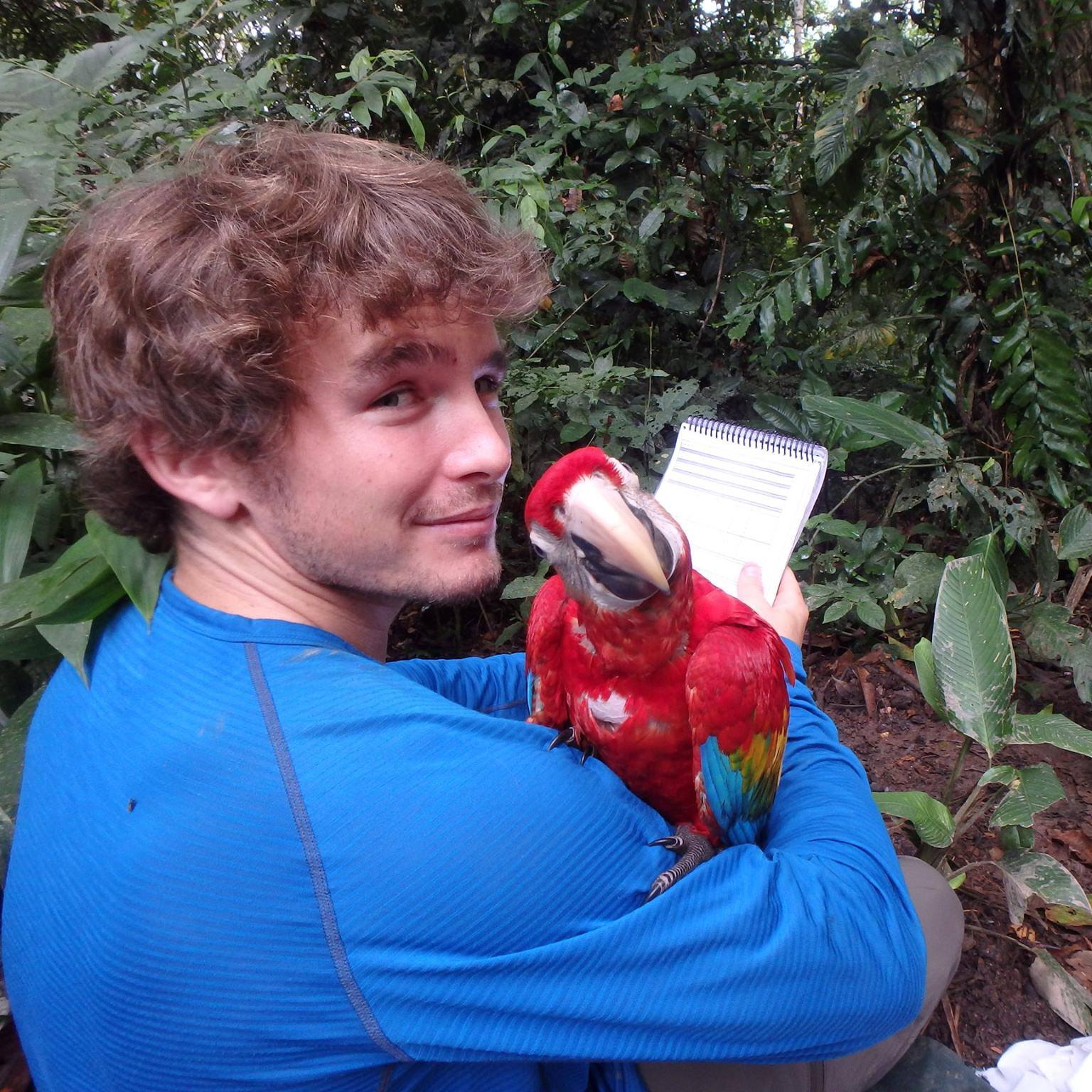
Tom Lloyd
- Postdoctoral Research Fellow, Global Ecosystems
- tom.lloyd@jcu.edu.au
Direct age determination with validation for commercially important Australian lobster and crab species (western, eastern, southern and ornate rock lobster, and crystal, Tasmanian giant and mud crab) (Old ID 21354)
Age information for commercially important crustaceans is necessary for calculating growth, mortality, recruitment and productivity, and is a critical component for any sustainable fisheries management plan. Until recently, direct age determination was considered impossible for crustaceans and only indirect methods existed (e.g. size frequency distributions). However, recent research has demonstrated that direct age determination of crustaceans is possible. Clear growth marks have been identified in gastric ossicles from several key Australian species. This project will produce validated ages for several crustacean species, across their full size range and in climatic regions other than the cool temperate conditions assessed previously. Validated age information will facilitate the sustainable management of Australia's crustaceans fisheries. This component managed by JCU will examine the tropical rock lobster Panulirus ornatus.
Crowdsourced bathymetry on the Great Barrier Reef (Old ID 26203)
Crowdsourced bathymetry is the collection of depth measurements from vessels, using standard navigation instruments. Bathymetry and navigation data are logged to a SmartLog USB data logger from the vessel's depth sounder and GPS, then used to improve the accuracy of the high-resolution 3D depth model of the Reef, through Project 3D-GBR. The GBR Foundation is funding a pool of data loggers to enable more partner vessels to collect depth data. This project gives people an increasing role in contributing valuable citizen science data to improve a fundamental dataset that helps the reef.
Survey of users of Cid Harbour regarding shark smart behaviours (Old ID 26325)
Project will conduct surveys of tourists and recreational users in Airlie Beach to examine their activities and behaviours, knowledge and awareness of 'shark smart' behaviours. Surveys will also examine local and tourism industry knowledge and preceptions about the history of use and behaviour of tourists and recreational users in the Whitsundays. This project is a rapid response project that has arisen directly from community and industry concerns about recent shark incidents in the Whitsundays. The project team will work closely with the Department of Agriculture and Fisheries, tourism industry representatives, and the Great Barrier Reef Marine Park Authority, and the Local Marine Advisory Committee. JCU is operating under a subcontract from BioPixel Oceans Foundation Limited which won the tender in mid-December 2018.
GBR Marine Park morphology mapping (Old ID 26709)
This research will generate the most accurate and up-to-date 3D depth model for the GBR Marine Park, at the 30 m pixel resolution, using all the available source bathymetry data. This fundamental dataset will then be used to derive morphology layers, as per the proposed structure of the National Seafloor GeoMorphology (NSGM) mapping scheme, being developed by Geoscience Australia.
Jaragun Wetland Restoration (Old ID 27070)
A small wetland will be targeted for weed removal and replanting along Babinda Creek in this project. These restoration works will be monitored using a high-tech surveillance camera to live stream images from Jaragun’s website that track wetland restoration over time and its value to our birdlife. Overall, this project kick starts a struggling local community nestled in the heart of the wet tropics. This project is about creating green jobs and building a pathway for long term strategic investment into restoration and rehabilitation of the Russell River catchment.
Climate Vulnerability Index (Old ID 27096)
Climate change is the fastest growing threat to World Heritage properties, many of which –natural, cultural and mixed – are already being impacted. The Climate Vulnerability Index (CVI) is a rapid assessment tool to identify key drivers of vulnerability, opportunities for response and priorities for action across all types of World Heritage properties. The CVI framework considers potential impacts, adaptive capacity, and economic, social and cultural consequences of climate change. Here we propose to apply phase 2 of the CVI process in the Wadden Sea World Heritage property. Continuation of previous project.
PNG & Pacific Island Nations Feeds Review. (Old ID 27717)
Review the barriers to expansion of tilapia aquaculture for development in PNG, Solomon Islands and Timor-Leste, with special reference to feeds and fingerlings.
Reconstructing past grounded ice extent over time around Wilkes Land margin, East Antarctica, using animal genomes (Old ID 27730)
The marine-based margins of the Antarctic Ice Sheet are vulnerable to collapse based on current trajectories in temperature rise. A deep uncertainty remains on whether the marine-based margin of the East Antarctic Ice Sheet (EAIS) (ie, Wilkes Land) is sensitive to climate change. This project applies an innovative, genomic approach to reconstruct past configurations of the marine-based EAIS to inform its future stability.
Continental-Scale Threatened Species Monitoring using an Acoustic Observatory (Old ID 29014)
Monitoring threatened species and biodiversity is the cornerstone of conservation. However, it is difficult to monitor land at the scale necessary to implement conservation actions for many species. Acoustic monitoring offers a potential solution, though large scale continuous monitoring of vocal threatened species, and of biodiversity more generally. Monitoring is needed to track the trajectories of species populations, determining whether they are endangered, and to plan and execute subsequent management actions. Monitoring is also needed to evaluate the success, or otherwise, of conservation activities. Our project leverages a large infrastructure project called the Australian Acoustic Observatory (Roe et al. 2021. Methods in Ecology and Evolution 12:1802-8). The Observatory comprises 344 acoustic recorders, located at various types of nature reserves, and some grazing properties, all over Australia. The acoustic devices record environmental sound 24/7, and have done so since mid-2020, and will continue to monitor until 2025 or longer. This provides an amazing resource, but the data needs to be mined to provide information on threatened species presence and activity, to inform conservation. Acoustic monitoring is a relatively new approach to conservation, and projects are required to develop methods and tools to make sense of the huge data being collected. Thus far, we have established the A2O, and are presently conducting a project to do manual surveys (bird watching, camera trapping, live trapping, and active searching) at 6 sites over 2 years, confirming the high quality monitoring capacity of the Observatory by comparing species lists obtained using each method. We have manually detected 5 near threatened, vulnerable, endangered and critically endangered species at only these 6 sites, but there is the potential to detect many more, by searching the acoustic data across all our sites, not just 6. However, this requires automated tools to analyse mass data to provide reports for land managers on threatened species to drive conservation actions. It is these activities that are the essence of our project.
Geology and Ore Potential of the Tommy Creek Block, Mount Isa Inlier (Old ID 22960)
The objective of the proposal is to establish a new research project to understand the geological evolution of the prospective Tommy Creek Block, located near Cloncurry, utilising the expertise of geological staff and research facilities / resources at JCU, Cardiff University, and our industry partners Mount Isa Mines (MIM - Glencore and GBM Resources. These research partnerships will be further strengthened through this project. The project is designed to deliver benefits to the industry partners by providing an improved understanding of the geology of an active mineral exploration region, which will directly lead to better strategies for exploration and hence, enhanced prospects of exploration success. Such future mineral resource discovery is crucial to sustain the economic prosperity of Queensland. The project will provide industry with highly trained graduates with the specific skills sets needed to develop successful career paths in the minerals industry.
Population productivity of shovelnose rays: inferring the potential for recovery
- 2019
- Public Library of Science
- Researchers:Colin Simpfendorfer
Returning a lost process by reintroducing a locally extinct digging marsupial
- 2019
- PeerJ, Ltd.
- Researchers:Iain Gordon
Securing a just space for small-scale fisheries in the blue economy
- 2019
- Frontiers Research Foundation
- Researchers:Terry Hughes
Toward a coordinated global observing system for seagrasses and marine macroalgae
- 2019
- Frontiers Research Foundation
- Researchers:Helene MarshLen McKenzie
Animal-borne telemetry: an integral component of the ocean observing toolkit
- 2019
- Frontiers Research Foundation
- Researchers:Colin Simpfendorfer
Start Date:
01 Jan 2008
Start Date:
01 Jan 2014
End Date:
01 Jan 2016
Start Date:
01 Jan 2008
Start Date:
01 Jan 2019
End Date:
01 Jan 2024
Start Date:
01 Jan 2016
End Date:
01 Jan 2018
Start Date:
01 Jan 2007
End Date:
01 Jan 2010
Start Date:
01 Jan 2004
End Date:
01 Jan 2007
Title:
Guest Editor: Fishes
Start Date:
01 Jan 2025
End Date:
01 Jan 2025
Start Date:
01 Jan 2020
Start Date:
02 Mar 2026