
Tropical Water & Ecosystems
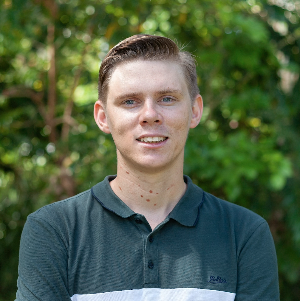
Scott Morrissey
- Research Officer
- scott.morrissey@jcu.edu.au
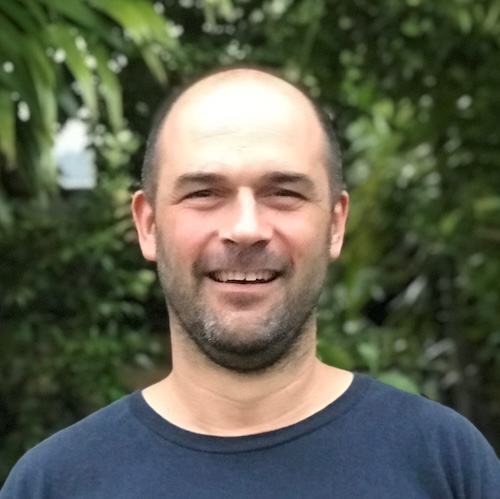
Tim Smith
- Senior Research Officer
- tim.smith2@jcu.edu.au
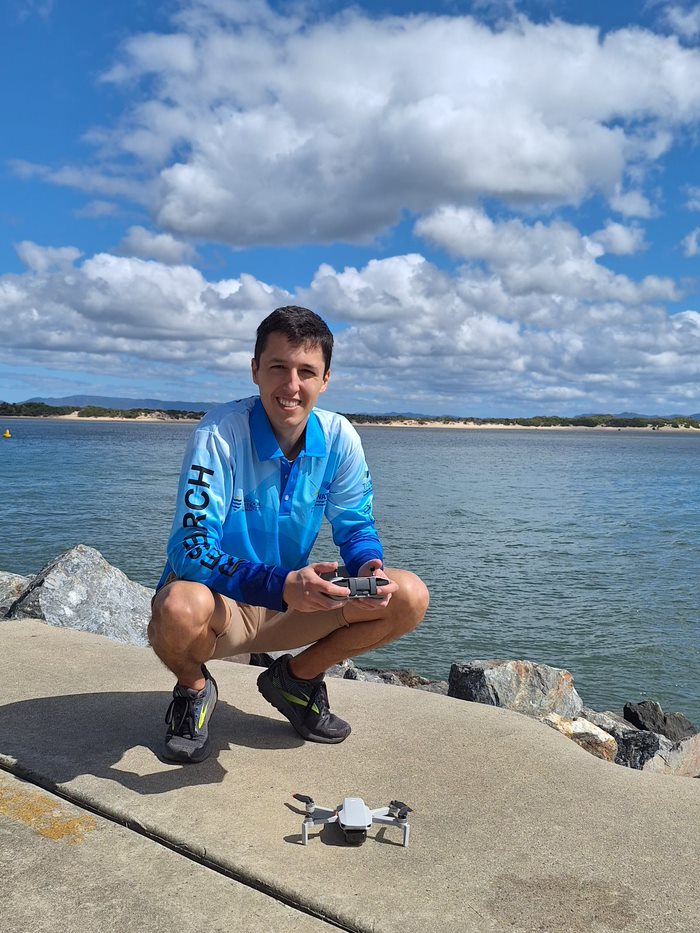
Alejandro Navarro Otero
- Casual Research Worker
- alejandro.navarrootero@jcu.edu.au
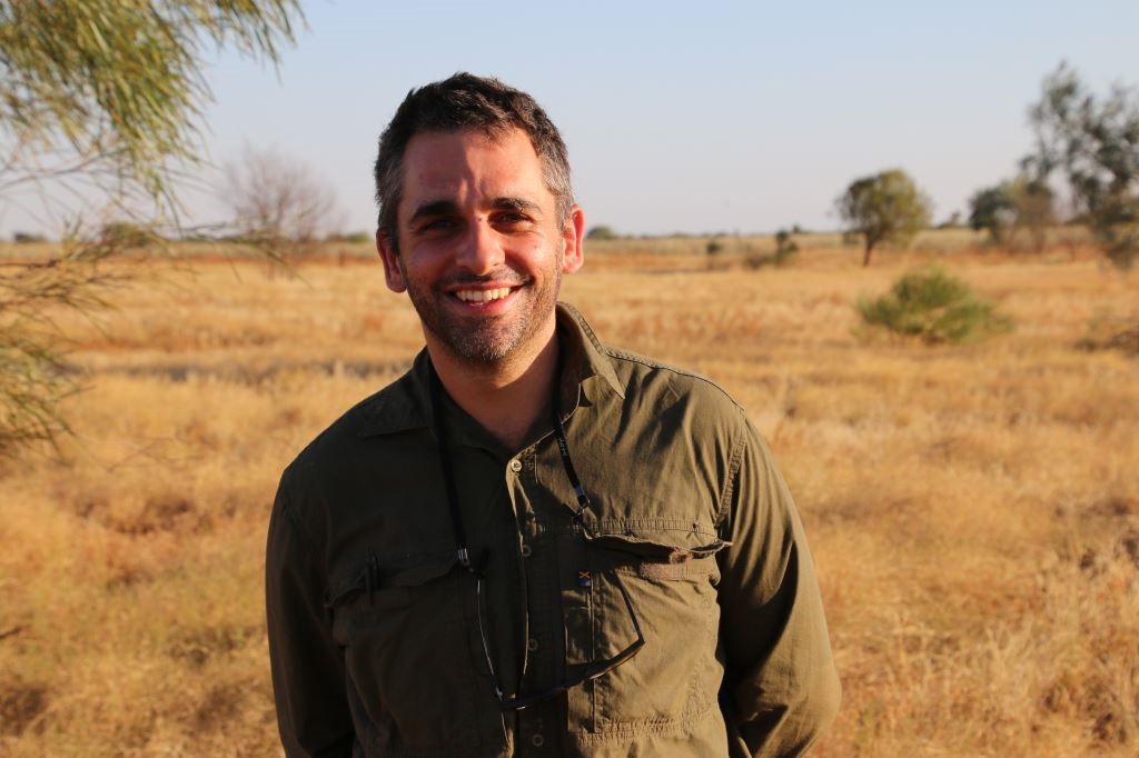
Jack Koci
- Principal Research Officer
- jack.koci1@jcu.edu.au
Sarah McDonald
- Senior Research Officer
- sarah.mcdonald@jcu.edu.au
Emily Webster
- Research Officer
- emily.webster1@jcu.edu.au

Abbi Scott
- Senior Research Officer
- abbi.scott1@jcu.edu.au

Catherine Collier
- Principal Research Officer
- catherine.collier@jcu.edu.au

Rob Coles
- Principal Research Scientist
- rob.coles@jcu.edu.au

Aaron Davis
- Principal Research Officer
- aaron.davis@jcu.edu.au
Influences on inshore marine water quality in the dry season (Old ID 27285)
In this discreet pilot study, we will build on significant investment in the Great Barrier Reef MMP. We will build on the existing wet season mapping approaches developed through the MMP to investigate the application of these for the development of dry season water type maps using Sentinel satellite imagery. Ultimately, the aim is to understand: 1) the magnitude, duration and extent of poor water quality in the dry season, when the Reef is not affected by catchment run-off in river discharge; and 2) how this compares to the affects we can attribute to run-off in the wet season.
Green Mussel Monitoring Proposal 2017 - Weipa Plankton Sampling and Sample Processing (Old ID 23570)
This project will sample plankton for the presence of AGM larval DNA at two locations; Weipa Harbour, and the Amrun project site to the south of Weipa. It will meet the initial requirements of the Weipa Asian Green Mussel Surveillance Strategy. The collection will follow protocols previously used in Cairns Harbour and will rely on expertise developed by TropWATER scientists to collect, process and transport DNA material for analysis and to report the results.
Water Quality, eDNA and NRM Management Directions (Old ID 26264)
Water quality and the threat of invasive species continue to exist in the Torres Straits. This project will continue to provide research services to assist Torres Straits Regional Authority to track restoration and protection of freshwater and marine wetland habitats in the Torres Strait islands. A component of this project includes facilitating training and educational material for Land and Sea Ranger program.
Habitat characterisation and biodiversity surveys in West Cape York Marine Park and Torres Strait Dugong Sanctuary. (Old ID 27402)
Marine habitats of western Torres Strait and Cape York have long been identified as ecologically and culturally significant, supporting large areas of seagrass, high densities of dugongs and turtles, and traditional, commercial and recreational fisheries. These ecological values in the region have led to the establishment of the Torres Strait Dugong Sanctuary and the West Cape York Marine Park (WCYMP). Despite these values, benthic habitats including seagrasses, fish assemblages and the cultural significance of the region remain inadequately surveyed and documented. In this project we will: (1) Increase understanding of traditional knowledge and collaborate with Indigenous rangers and Traditional Owners to undertake marine park management. (2) Identify any changes/trends in the extent, health and diversity of seagrass meadows. (3) Provide a habitat map for the National Park, Habitat Protection and Special Purpose Zones in the southern region of West Cape York Marine Park. (4) conduct a pilot study of fish diversity.
Seagrass Monitoring in Wuthathi Sea Country (Old ID 31147)
Wuthathi land and sea country in far northern Cape York extends from Captain Billy landing south to Temple Bay and includes Shelburne Bay and Raine Island. JCU will work with Wuthathi rangers to continue to map coastal seagrass in Wuthathi and establish monitoring sites and methods. A range of techniques will be adopted, including airborne/spaceborne imagery (UAV drone and satellite) and transects for intertidal and shallow subtidal habitats and drop cameras in deeper subtidal waters. Wuthathi rangers will be trained in seagrass mapping and monitoring techniques to facilitate continued monitoring of seagrass habitats in Wuthathi sea country.
Seagrass Monitoring in Wuthathi Sea Country (Old ID 31147)
Wuthathi land and sea country in far northern Cape York extends from Captain Billy landing south to Temple Bay and includes Shelburne Bay and Raine Island. JCU will work with Wuthathi rangers to continue to map coastal seagrass in Wuthathi and establish monitoring sites and methods. A range of techniques will be adopted, including airborne/spaceborne imagery (UAV drone and satellite) and transects for intertidal and shallow subtidal habitats and drop cameras in deeper subtidal waters. Wuthathi rangers will be trained in seagrass mapping and monitoring techniques to facilitate continued monitoring of seagrass habitats in Wuthathi sea country.
An Assessment of the Distribution and Abundance of Dugongs and In-Water Large Marine Turtles Along the Queensland Coast From the NSW Border to Port Douglas (Old ID 23033)
This project provides information to inform the management of dugongs in the SGBR by continuing the time series of standardised aerial surveys conducted since the late 19802. The project provides an assessment of the distribution and abundance of dugongs and in-water large marine turtles in the SGBR and contribute to the 30 year time series for temporal comparisons using the latest advances in distribution and abundance analyses. In addition the project provides a more detailed spatially explicit assessment of the importance of Shoalwater Bay for these species and their habitats to the GBRWHA by incorporating historical data from other sources.
Abbott Point Seagrass Monitoring (Old ID 20699)
The aim of this research is to monitor seagrass habitats, including those which may potentially be impacted by proposed port developments. The objectives include comparing results of previous monitoring and baseline surveys and assessing any changes in seagrass distribution and abundance in relation to natural events or human induced port and catchment activities, and establishing the capacity for recovery of key seagrass meadows types likely to be affected by proposed developments.
MMG Century Environmental Evaluation of Receiving Waters (Old ID 22531)
Undertake environmental evaluation and expert advice with regards to effects of mining activities undertaken by MMG Century.
GBRF EOI Island Monitoring (Old ID 27698)
The more than 1000 islands and cays in the Great Barrier Reef (GBR) World Heritage Area (GBRMPA spatial data, 2019) support a diverse range of ecological, cultural and economic values. Many are threatened by climate change, but monitoring and management is difficult as many cays are remote and difficult to access. This project will develop and implement an efficient drone-based hierarchical monitoring protocol based on the recognition and use of ‘natural ground control points’ that will enable more rapid and resource efficient capture of reef island status to inform management decisions.
Coral decline threatens fish biodiversity in marine reserves
- 2004
- National Academy of Sciences
- Researchers:Maya Srinivasan
Mid-late Holocene sea-level variability in eastern Australia
- 2008
- Wiley-Blackwell
- Researchers:Stephen Lewis
Start Date:
01 Jan 2009
End Date:
01 Jan 2026
Start Date:
01 Jan 2009
End Date:
01 Jan 2030
Start Date:
01 Jan 2014
End Date:
01 Jan 2030
Start Date:
01 Jan 2021
End Date:
01 Jan 2025
Start Date:
01 Jan 1981
End Date:
01 Jan 1984
Start Date:
01 Jan 1986
End Date:
01 Jan 1988
Start Date:
01 Jan 1973
End Date:
01 Jan 1973
Start Date:
01 Jan 2024
Start Date:
01 Jan 2022
End Date:
01 Jan 2023
Title:
Conference co-chair
Start Date:
01 Jan 2023
End Date:
01 Jan 2023