
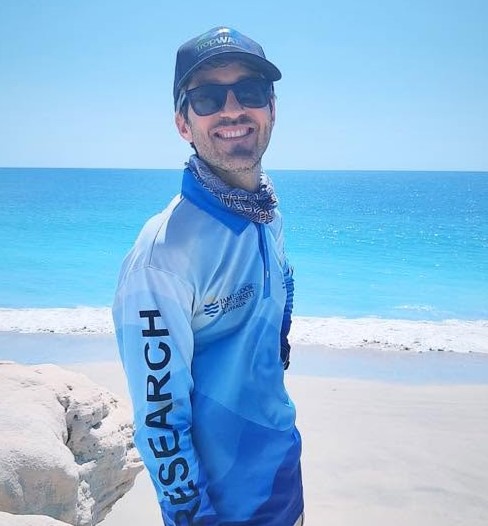
Lucas Langlois

Contact Details
- lucas.langlois@jcu.edu.au
-
14-88 McGregor Rd
Smithfield 4878 QLD Australia
Biography
Originally from Paris, France, Lucas Langlois completed a Bachelor of Science in Biology at Pierre and Marie Curie University in 2011, followed by a Master of Science in Marine Biology at James Cook University in 2013. His master’s research investigated physiological acclimation in corals.
Lucas is now a Senior Research Worker with TropWATER at James Cook University, specialising in the application of artificial intelligence, drones and remote sensing to coastal and marine monitoring. His work focuses particularly on mapping and assessing seagrass habitats and marine megafauna using imagery collected from drones, crewed aircraft and satellites.
Lucas develops end-to-end image-analysis and spatial-modelling workflows, including deep-learning models for object detection and image segmentation, automated assessment of seagrass photoquadrats, and high-resolution habitat mapping. He has particular expertise in R and Python, geospatial analysis, data management, and temporal and spatial modelling, including Bayesian methods.
Since joining JCU, Lucas has contributed to a broad range of research and monitoring programs examining seagrass condition and productivity across environmental gradients such as light, temperature, carbon dioxide and nutrient availability. His work has included extensive field and laboratory research, long-term seagrass and water-quality monitoring, statistical analysis, data management and scientific reporting.
Lucas’s current research aims to make large-scale marine monitoring more efficient, repeatable and informative by integrating ecological expertise with emerging AI and remote-sensing technologies. He works across multidisciplinary projects to translate these methods into practical tools for research, environmental management and conservation.
Research
Research Interests
- Seagrass and marine megafauna monitoring, habitat mapping, spatial ecology and conservation.
- Develop new monitoring approaches using artificial intelligence, drones, crewed aerial imagery and satellite remote sensing.
- Apply deep-learning methods, including object detection and image segmentation, to automate the analysis of ecological imagery.
- Develop spatial and temporal models to assess environmental patterns, habitat condition and change over time.
- Translate emerging technologies into practical and reproducible tools for marine research, environmental management and conservation.