
Tropical Water & Ecosystems
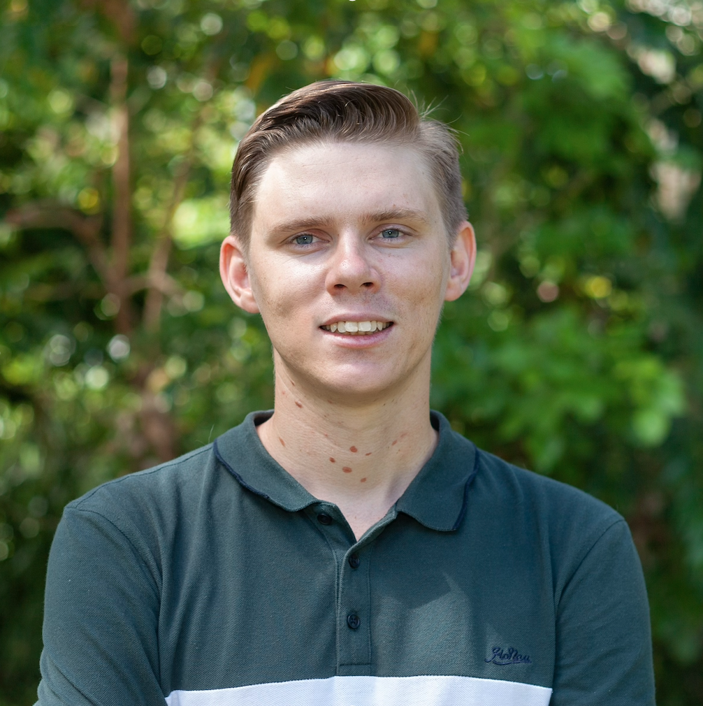
Scott Morrissey
- Research Officer
- scott.morrissey@jcu.edu.au
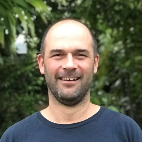
Tim Smith
- Senior Research Officer
- tim.smith2@jcu.edu.au
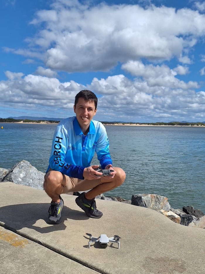
Alejandro Navarro Otero
- Casual Research Worker
- alejandro.navarrootero@jcu.edu.au
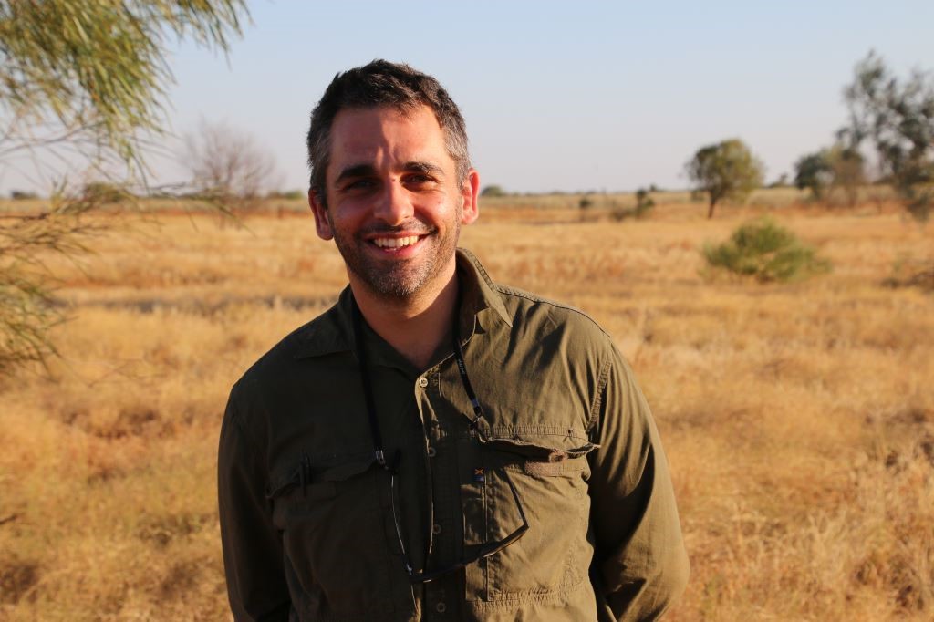
Jack Koci
- Principal Research Officer
- jack.koci1@jcu.edu.au
Sarah McDonald
- Senior Research Officer
- sarah.mcdonald@jcu.edu.au
Emily Webster
- Research Officer
- emily.webster1@jcu.edu.au

Abbi Scott
- Senior Research Officer
- abbi.scott1@jcu.edu.au

Catherine Collier
- Principal Research Officer
- catherine.collier@jcu.edu.au

Rob Coles
- Principal Research Scientist
- rob.coles@jcu.edu.au

Aaron Davis
- Principal Research Officer
- aaron.davis@jcu.edu.au
Influences on inshore marine water quality in the dry season (Old ID 27285)
Caroline Petus
17 Jun 2021 - 30 Nov 2021
In this discreet pilot study, we will build on significant investment in the Great Barrier Reef MMP. We will build on the existing wet season mapping approaches developed through the MMP to investigate the application of these for the development of dry season water type maps using Sentinel satellite imagery. Ultimately, the aim is to understand: 1) the magnitude, duration and extent of poor water quality in the dry season, when the Reef is not affected by catchment run-off in river discharge; and 2) how this compares to the affects we can attribute to run-off in the wet season.
Monitoring, Modelling and Reporting Strategy for Landholders Driving Change project (Old ID 25096)
Stephen Lewis
02 Jul 2018 - 28 Sep 2018
The objective of the Burdekin MIP is to work closely with groups in one or two focus areas, with the Bowen- Broken-Bogie (BBB) catchments, to trial a range of regionally tailored, coordinated actions that reduce sediment and nutrient loads. Throughout this Major Integrated Project, progress in achieving land management practice changes, economic benefits for landholders and pollutant load reductions will be closely monitored and results will inform adaptive management. This project is to develop an overarching Monitoring, Modelling and Reporting Strategy for the water quality component of the program.
Habitat characterisation and biodiversity surveys in West Cape York Marine Park and Torres Strait Dugong Sanctuary. (Old ID 27402)
Alexandra Carter
01 Oct 2021 - 30 Jun 2024
Marine habitats of western Torres Strait and Cape York have long been identified as ecologically and culturally significant, supporting large areas of seagrass, high densities of dugongs and turtles, and traditional, commercial and recreational fisheries. These ecological values in the region have led to the establishment of the Torres Strait Dugong Sanctuary and the West Cape York Marine Park (WCYMP). Despite these values, benthic habitats including seagrasses, fish assemblages and the cultural significance of the region remain inadequately surveyed and documented. In this project we will: (1) Increase understanding of traditional knowledge and collaborate with Indigenous rangers and Traditional Owners to undertake marine park management. (2) Identify any changes/trends in the extent, health and diversity of seagrass meadows. (3) Provide a habitat map for the National Park, Habitat Protection and Special Purpose Zones in the southern region of West Cape York Marine Park. (4) conduct a pilot study of fish diversity.
Seagrass Monitoring in Wuthathi Sea Country (Old ID 31147)
Catherine Collier
04 Oct 2023 - 31 Dec 2025
Wuthathi land and sea country in far northern Cape York extends from Captain Billy landing south to Temple Bay and includes Shelburne Bay and Raine Island. JCU will work with Wuthathi rangers to continue to map coastal seagrass in Wuthathi and establish monitoring sites and methods. A range of techniques will be adopted, including airborne/spaceborne imagery (UAV drone and satellite) and transects for intertidal and shallow subtidal habitats and drop cameras in deeper subtidal waters. Wuthathi rangers will be trained in seagrass mapping and monitoring techniques to facilitate continued monitoring of seagrass habitats in Wuthathi sea country.
NESP 3.10 – A partnership approach to filling key knowledge gaps on dugongs in northern Australia using novel technologies (Old ID 28964)
Christophe Cleguer
01 Jan 2023 - 20 Nov 2026
In Australia, the dugong is protected under the EPBC Act 1999 as a listed migratory, and listed marine species, it is also a Matter of National Environmental Significance. The dugong is culturally significant to the coastal Aboriginal and Torres Strait Islander peoples of northern Australia and has a high biodiversity value. This project includes five activities that will contribute to addressing key knowledge gaps about the spatial and temporal patterns in the distribution, abundance, connectivity and health of dugong populations. The project is designed to inform management in several regions of high value habitat across northern Australia. Transversal to the activities described below is a strong partnership approach with Traditional Owners and members of the wider community. The project will be co-designed, co-produced and will co-deliver research and monitoring outputs. The studies will utilise and advance emerging technologies (e.g., aerial images collected from planes and drones, Artificial Intelligence, population genomics) with the ultimate goal of enhancing data quality, reducing research and monitoring costs, and increasing accessibility of monitoring tools to non-experts.
CYWP Annan Sediment Tracing (Old ID 27825)
Zoe Bainbridge
14 Oct 2022 - 30 Nov 2024
Prepare, analyse and report on Annan Catchment tributary water samples for geochemistry and grain size, to assess the sources of sediment to Walker Bay.
Using eDNA methods for red imported fire ant (RIFA, Solenopsis invicta) detection
Cecilia Villacorta Rath
01 Jul 2024 - 30 Jun 2025
This project will test the extent to which red imported fire ants (RIFA) can be detected in soil around nests and adjacent water bodies.
SmartCoast: Coastal management digital twin pilot in Torres Strait, Queensland based on LiDAR and satellite EO data fusion, with a focus on mangroves
Norm Duke
22 Apr 2024 - 21 Apr 2025
SmartCoast is a research-industry collaboration between James Cook University, EOMAP and Fugro (Brisbane) to co-design a coastal management digital twin pilot that supports Geodata for the management of the effects of climate change and sea level rise is sensitive coastal areas, with a particular focus mangrove management and monitoring in Torres Strait, Queensland. For best practice we propose using satellite EO-LiDAR data fusion to provide accurate baseline data and models whilst also offering a cost-effective means to monitor change. The activities will be to: 1)
develop an efficient method to measure and detect mangroves accurately using satellite and LiDAR fusion technologies, 2) create and evaluate a research-based methodology for mangrove carbon sequestration estimates for Blue Carbon efforts that are essential measures of some key ecosystem benefits and will bring revenue to
Queensland (via carbon credits), 3) develop change detection technique based on the relatively low cost satellite data to monitor and predict shoreline ecosystem change (e.g. decrease of mangrove coverage) that are essential indicators for risk management monitoring regarding rising sea levels and extreme weather events, 4) hold workshops to understand the needs of Queensland coastal management decision makers and codesign a digital twin pilot (prototype) project in Torres Strait.
Expected outcomes are: 1) successful transferral of research, methods and expertise on mangrove management and earth observation techniques to an industry-led project; 2) a pilot platform (prototype) for coastal management to demonstrate the value of a digital twin of northern Queensland; 3) evaluation about commercialisation and scalability of the digital twin.
Desktop synthesis for the Seagrass Restoration Roadmap for the Great Barrier Reef
Catherine Collier
14 Feb 2024 - 30 Apr 2024
This is a short-term consultancy to inform the basis of a seagrass restoration roadmap across the GBR catchment. The consultancy will be a desktop analysis of currently available seagrass literature, with occasional interviews if required. The outcome will be a report used to inform the strategic scaling of future seagrass restoration activities, including opportunities for seagrass nursery locations, Traditional Owner involvement and further details, and an online meeting with GBRF to present the report and key findings.
Benthic Mapping with Angkamuthi Traditional Owners in West Cape York Marine Park
Alexandra Carter
25 May 2024 - 06 May 2026
This project's requirements are for field work, data analysis and reporting on benthic habitats and fish, principally in the Habitat Protection and Special Purpose Zones of West Cape York Marine Park in the North Network of Australian Marine Parks in collaboration with Angkamuthi Traditional Owners.
Marine Monitoring Program: Annual Report for Inshore Water Quality Monitoring 2020-2021
- 2022
- Great Barrier Reef Marine Park Authority
- Researchers:Caroline PetusStephen LewisCassandra James
Quality control procedure for marine water quality logger data
- 2023
- TropWATER, James Cook University
- Researchers:Paula Cartwright
The origin of suspended particulate matter in the Great Barrier Reef
- 2023
- Nature Publishing Group
- Researchers:Stephen LewisZoe Bainbridge
Strategies to Develop Sustainable Seagrass-Associated Tourism in Indonesia
- 2023
- Taylor & Francis
- Researchers:Len McKenzie
Start Date:
01 Jan 2009
End Date:
01 Jan 2026
Start Date:
01 Jan 2009
End Date:
01 Jan 2030
Start Date:
01 Jan 2014
End Date:
01 Jan 2030
Start Date:
01 Jan 2021
End Date:
01 Jan 2025
Start Date:
01 Jan 1981
End Date:
01 Jan 1984
Start Date:
01 Jan 1986
End Date:
01 Jan 1988
Start Date:
01 Jan 1973
End Date:
01 Jan 1973
Start Date:
01 Jan 2024
Start Date:
01 Jan 2022
End Date:
01 Jan 2023
Title:
Conference co-chair
Start Date:
01 Jan 2023
End Date:
01 Jan 2023