
Tropical Water & Ecosystems
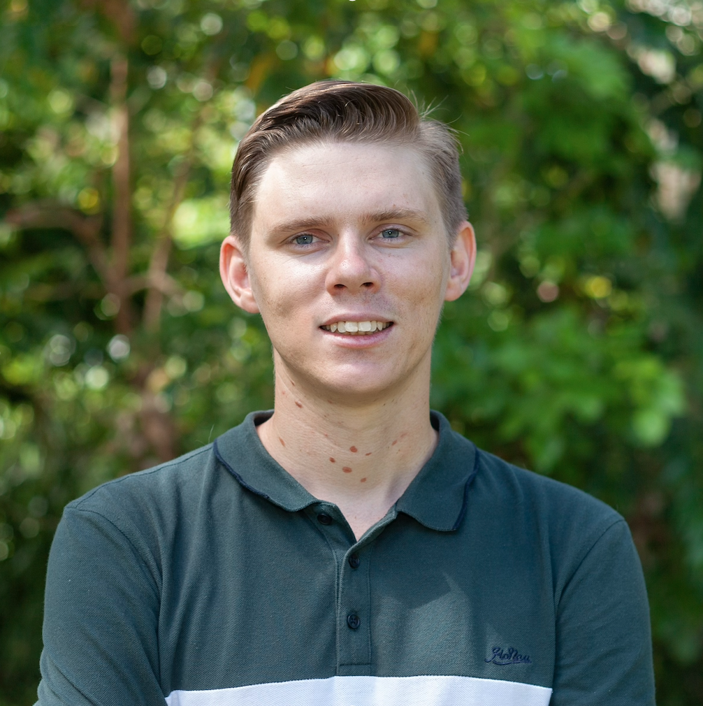
Scott Morrissey
- Research Officer
- scott.morrissey@jcu.edu.au
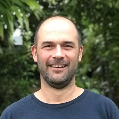
Tim Smith
- Senior Research Officer
- tim.smith2@jcu.edu.au
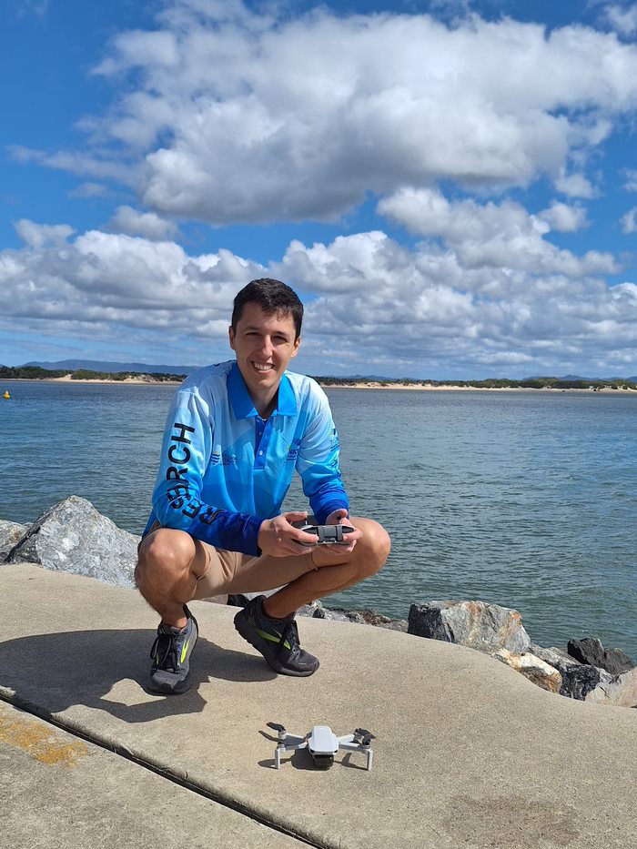
Alejandro Navarro Otero
- Casual Research Worker
- alejandro.navarrootero@jcu.edu.au
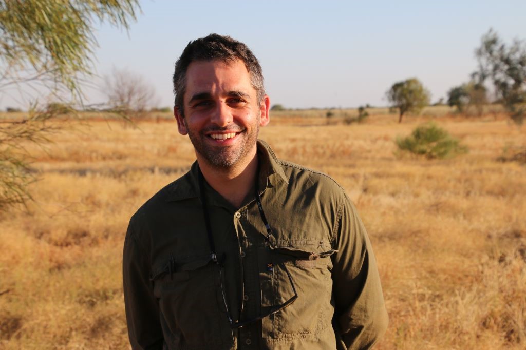
Jack Koci
- Principal Research Officer
- jack.koci1@jcu.edu.au
Sarah McDonald
- Senior Research Officer
- sarah.mcdonald@jcu.edu.au
Emily Webster
- Research Officer
- emily.webster1@jcu.edu.au

Abbi Scott
- Senior Research Officer
- abbi.scott1@jcu.edu.au

Catherine Collier
- Principal Research Officer
- catherine.collier@jcu.edu.au

Rob Coles
- Principal Research Scientist
- rob.coles@jcu.edu.au

Aaron Davis
- Principal Research Officer
- aaron.davis@jcu.edu.au
Aerial dugong surveys in Moreton Bay and Hervey Bay. (Old ID 27706)
Christophe Cleguer
10 Jun 2022 - 30 Jun 2022
Dugong aerial surveys estimating population size have been conducted in the Great Barrier Reef (GBR) since the 1980’s, providing a long-term trend and dataset. Aerial surveys are intended to be conducted every 5 years. The southern GBR was last surveyed in 2016, meaning the southern GBR surveys are 1 year overdue. Recent flooding in southeast Queensland has led to seagrass die off in Hervey Bay and the Great Sandy Straits and likely in other seagrass habitat that supports dugong. The southern GBR dugong population includes Hervey Bay and Moreton Bay, both of which are significant locations for dugongs. Both of these bays suffered significant floods in early 2022. Seagrass surveys of Hervey Bay in May 2022 revealed ‘almost no seagrass was left’. It is anticipated that, as occurred after the 2011 floods, dugong will strand and die, stop breeding and move out of previously important foraging areas. Further, surveys will contribute to the transition from human observer flights to aerial image capture and automated analysis, which will form the basis of future cheaper and safer technologies for assessing dugong populations.
Dugong aerial survey to assess recovery in Hervey Bay (Old ID 30033)
Christophe Cleguer
15 Jun 2023 - 30 Jun 2025
Early 2022 floods in the Hervey Bay region have had a severe impact on seagrass meadows. Dugong mortality records combined with our late 2022 dugong aerial survey suggest that while some dugongs perished as a result of food deprivation, other likely have moved away from the Hervey Bay-GSS area while those that remained in the area have concentrated around the middle of Hervey Bay, over remaining deep-water seagrasses. While the deep seagrasses appear to be on their way to recovery there is still uncertainty as to whether and how seagrasses would recover in the inshore intertidal areas, and whether dugongs are going to repopulate the region as a result (no dugongs were sighted across the entire Great Sandy Strait in late 2022). Here, we propose to resurvey the Hervey Bay-GSS region to document the recovery of dugongs and sea turtles in the area. The timing of the surveys will be discussed and aligned with seagrass monitoring research.
Using compost from aquatic weeds to improve soil health and reduce nutrient pollution (Old ID 31118)
Adam Canning
07 Sep 2023 - 31 Dec 2024
Excessive nutrient pollution can cause explosive aquatic weed growth, preventing fish migration, and causing mass fish kills. Weed management via herbicide spraying and removal is costly and detrimental to waterways. If the harvested weeds could be composted and used on crops, then aquatic weed management can shift from being a problem to an agricultural solution that reduces synthetic fertiliser use, while improving soil moisture, nutrient retention (reducing pollution), and soil microbial health (potentially reducing pathogens). This project examines the influence of aquatic-weed compost on the soil health and nutrient retention in tree crops near Rockhampton.
Advancing the science supporting New Zealand’s freshwater sports fisheries and game bird hunting. (Old ID 27723)
Adam Canning
22 Jun 2022 - 01 May 2023
This project provides a package of scientific works to support the management of freshwater sports fisheries and game bird hunting in New Zealand. Scientific works will aim to inform several areas including, the interactions between sports fish and native fish, the climatic influences on sports fish populations, the effectiveness of ecological monitoring, and the drivers of mallard/’greylard’ populations. The works will allow managers to better support and regulate freshwater fisheries and game birds to ensure populations remain healthy and available for fishers and hunters in the long term while reducing the impacts on native fauna.
Scoring mangrove indicators for the 2019 Gladstone Harbour Report Card (Old ID 26475)
Norm Duke
26 Apr 2019 - 31 Aug 2019
This 2019 program extends from that in 2018. As before, a wide range of expertise will be used in this environmental management project in the PCPA TUMRA Indigenous Protected Area. This evaluates the multiple threatened marine coastal ecosystems of this Central Queensland region, specifically for each of the 13 zone sub-area zones of the GHHP study area. The program engages JCU tidal wetland science specialists for the better management of shoreline environmental values by reporting of 3 mangrove condition indicators for the 2019 GHHP report card.;
Ecological monitoring of the Townsville Field Training Area 2022-24 (Old ID 27715)
Cassandra James
01 Jun 2022 - 31 Jan 2026
This project continues the long standing monitoring that TropWATER has undertaken for Defence that incorporates monitoring of water quality and aquatic ecology on the Townsville Field Training Area. Remnant Waterholes are the most important aquatic ecosystem in the TFTA providing a critical dry season refugia for aquatic biota. Aquatic ecological monitoring allows an assessment to be made of the trends in water quality through time. If these trends in areas of high Defence activities are similar to trends in areas with minimal Defence impact, this demonstrates the lack of impact of Defence operations on the local aquatic environment.
'Project 25' - farmers, water quality and on-farm decision-making (Old ID 24991)
Aaron Davis
01 Jan 2018 - 10 Dec 2020
Landholder concerns surrounding the credibility of broad-scale water quality monitoring and modelling initiatives in the GBR catchment area are one of the key cane industry engagement challenges for promoting significant farming practice change, and water quality improvements. Based around small, sub-catchment water quality monitoring in a key GBR cane growing region, Project 25 utilises a bottom-up approach to integrated sub-catchment monitoring and intervention to identify 'hot spot' sub-catchments through localised water quality monitoring. The Project emphasises industry ownership and control of monitoring design, and delivery of locally targeted water quality data and extension effort to facilitate practice change.
Applying Indigenous and western science knowledges to inform the sustainable management of a dugong and seagrass hotspot in the Girringun TUMRA (Old ID 27854)
Christophe Cleguer
28 Nov 2022 - 31 May 2024
Girringun Aboriginal Corporation (GAC) are deeply concerned about potential threats and reduced resilience for the coastal environment. This project will address knowledge gaps around dugongs and seagrasses that are core to Traditional Owner’s cultural identity and traditional values; critical to the cultural, natural, socio-economic values of the Girringun Traditional Use of Marine Resources Agreement (TUMRA) and Indigenous Protected Area, the Great Barrier Reef World Heritage Area and the Hinchinbrook Island Dugong Protection Area. This project is a collaboration between GAC, seagrass and dugong experts from James Cook University, and Charles Darwin University to heal the Reef.
International Seagrass Biology Workshop (ISBW12) Conference Travel Grant (Old ID 22786)
Paul York
14 Oct 2016 - 08 Dec 2016
To attend and present a research paper at the International Seagrass Biology Workshop (ISBW12) in Nant, Gwrtheyrn, Wales 16-21st October, 2016
What's really damaging the reef? Tracing the origin and fate of the environmentally detrimental sediment (Old ID 22541)
Stephen Lewis
01 Jan 2016 - 10 Dec 2018
Recent research has shown that only a portion of the fine sediment fraction delivered from rivers draining into the Great Barrier Reef Lagoon reaches coral reefs and seagrass meadows. The specific sources of this sediment, which affects the health of corals and seagrasses, are as yet unresolved. This project will, for the first time characterise and trace the origin(s) and fate of this environmentally detrimental sediment using samples collected in flood plumes and during resuspension events. This will enable direct spatial targeting of the sources of this material to achieve maximum benefits to GBR health from catchment management actions.
Port of Weipa long-term seagrass monitoring program: 2000 - 2022
- 2022
- TropWATER, James Cook University
- Researchers:Carissa ReasonTim SmithSkye McKenna
Port of Abbot Point Long-Term Seagrass Monitoring Program 2022
- 2023
- TropWATER, James Cook University
- Researchers:Carissa ReasonSkye McKenna
Eastern Torres Strait intertidal benthic survey: Ugar, Campbell and Nepean Islands
- 2022
- TropWATER, James Cook University
- Researchers:Carissa ReasonAlexandra Carter
Start Date:
01 Jan 2009
End Date:
01 Jan 2026
Start Date:
01 Jan 2009
End Date:
01 Jan 2030
Start Date:
01 Jan 2014
End Date:
01 Jan 2030
Start Date:
01 Jan 2021
End Date:
01 Jan 2025
Start Date:
01 Jan 1981
End Date:
01 Jan 1984
Start Date:
01 Jan 1986
End Date:
01 Jan 1988
Start Date:
01 Jan 1973
End Date:
01 Jan 1973
Start Date:
01 Jan 2024
Start Date:
01 Jan 2022
End Date:
01 Jan 2023
Title:
Conference co-chair
Start Date:
01 Jan 2023
End Date:
01 Jan 2023