
Australian Tropical Herbarium

Matt Barrett
- Research Fellow
- matt.barrett@jcu.edu.au
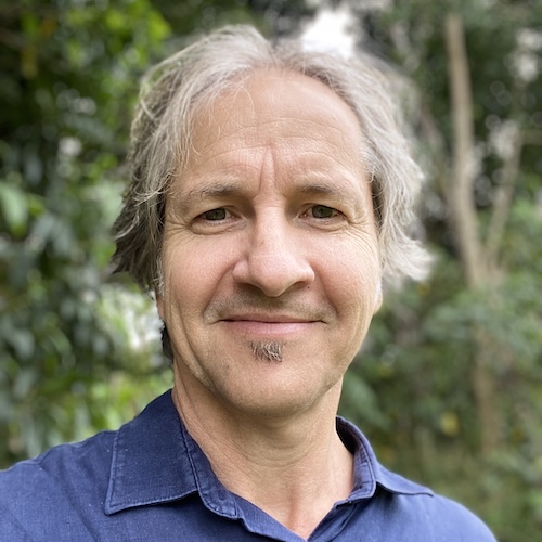
Darren Crayn
- Director, Australian Tropical Herbarium
- darren.crayn@jcu.edu.au

Mel Harrison
- Research Operations Manager
- melissa.harrison@jcu.edu.au
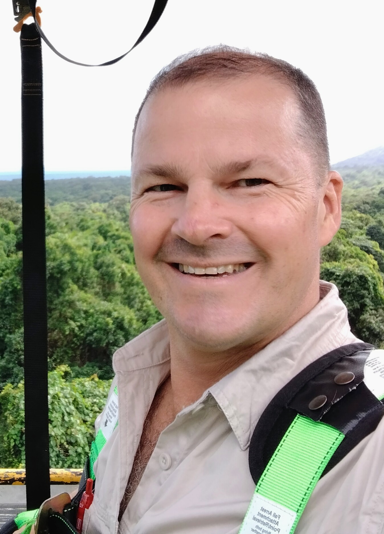
Stuart Worboys
- Botanist
- stuart.worboys@jcu.edu.au
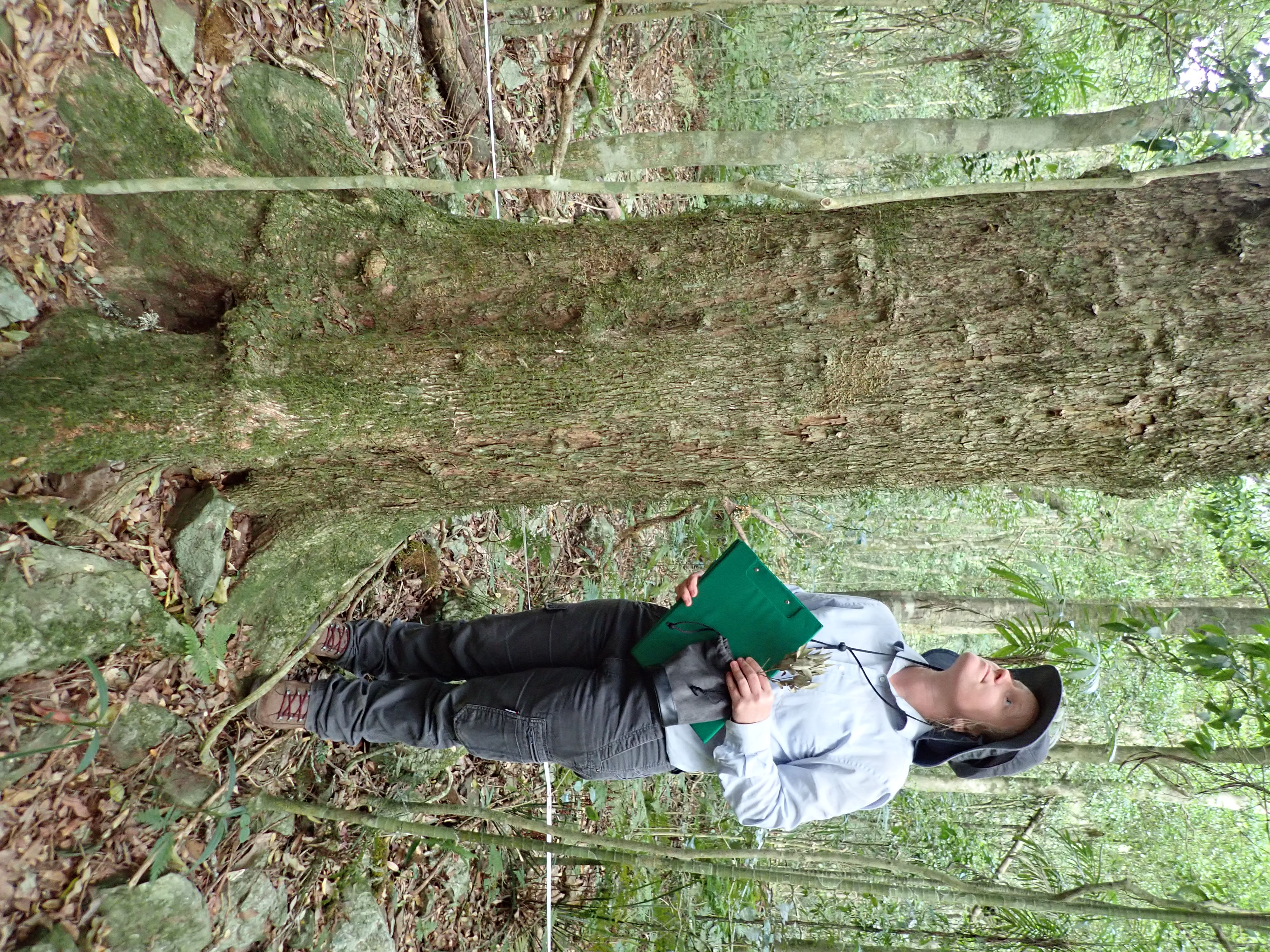
Shannon Hudson
- Adjunct Research Fellow
- shannon.hudson@jcu.edu.au

Frank Zich
- Adjunct Senior Research Fellow
- frank.zich@jcu.edu.au

Zoe Allgood
- Mapping Technician
- zoe.allgood@jcu.edu.au
Revision of RE mapping in Einasleigh (EIU) and Brigalow Belt (BRB) Bioregions
This project will update linework and vegetation community attribution of the portions Ewan, Rolling Stone, Kangaroo Hills, Ingham, and Clarke River 100k map sheets (EIU bioregion), to align with the 2023 surface geology, where it results in improved accuracy and quality and in a format suitable for inclusion of the V15 release of the Regional Ecosystem Mapping. The project will also update HVR linework to 2023 currency for Moura and Bauhinia 100k map sheets (BRB bioregion) and finalise identification of outstanding plant specimens of dominant species collected from QBEIS sites in EIU communities.
State of the Wet Tropics Report (Old ID 31177)
The Wet Tropics Management Authority produces a thematic annual State of the Wet Tropics report. This year’s report is themed threatened species. ATH staff are assisting in preparing the report.
Imaging ATH Collections
This project will continue the efforts of James Cook University (JCU) and Commonwealth Scientific and Industrial Research Organisation (CSIRO) in imaging the ATH collections, with funding provided to appoint a technical officer through JCU at HEWL 3.3, 0.8FTE for a period of 2-years.
A Deadly Solution: Towards an Indigenous-led bush food industry
This project aims to enable Indigenous businesses to benefit from bushfoods and native ornamental plants.
Surveys and impact assessments of single watercourse endemic riparian species
A number of threatened species are restricted to one or few streams in the Wet Tropics World Heritage Area. This project will document the post-Tropical Cyclone Jasper surviving populations of these high conservation value single watercourse endemics through targeted surveys. The data will be used to design initiate a series of targeted habitat restoration and recovery actions to be undertaken. Collectively, these actions will provide invaluable information to develop a draft multi-species Recovery Action Plan for single watercourse flora endemic to this World Heritage region.
Delineation, monitoring and surveillance of priority invasive weeds post TC Jasper
This project delivers targeted delineation, monitoring and surveillance of priority weed species in TC Jasper impacted areas including slip zones and riparian areas across the northern section of the Wet Tropics World Heritage Area and surrounds.
Normanby Wetland Typology and Mapping
Provision of standing water coverage data set and updated line work and RE attribution for ten (10) target wetlands (Lily, Curly, 2-mile, Cabbage Palm, Homestead, White Gum, Mailman & Bottom Lagoons + Middle Lake and Sweet Swamp), incl. wetland typology.
Normanby Wetland Typology and Mapping
Provision of standing water coverage data set and updated line work and RE attribution for ten (10) target wetlands (Lily, Curly, 2-mile, Cabbage Palm, Homestead, White Gum, Mailman & Bottom Lagoons + Middle Lake and Sweet Swamp), incl. wetland typology.
Start Date:
01 Jan 2008
Start Date:
01 Jan 2026
Start Date:
01 Jan 2023
Start Date:
01 Jan 2008
Title:
President