
Tropical Water & Ecosystems
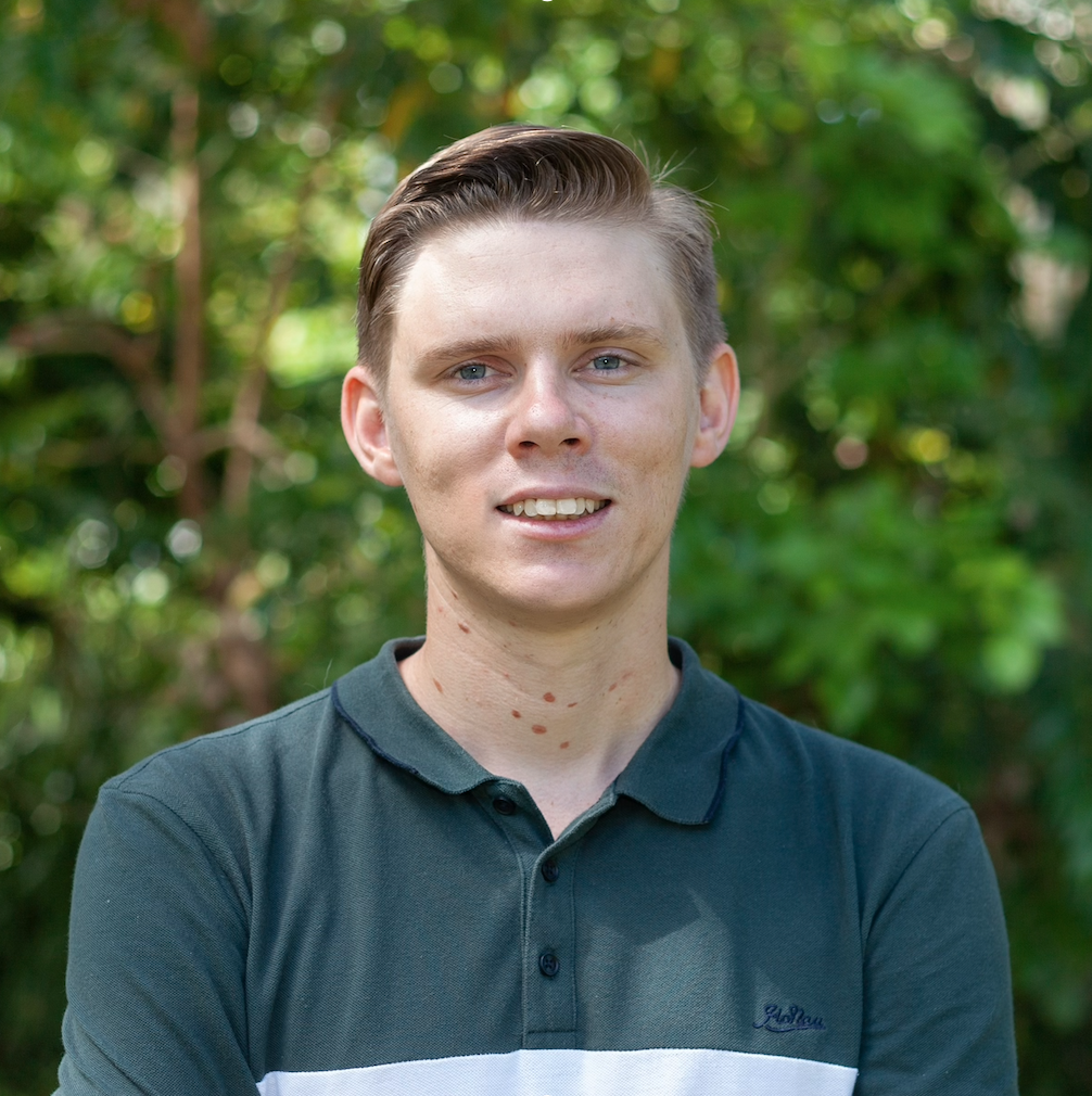
Scott Morrissey
- Research Officer
- scott.morrissey@jcu.edu.au
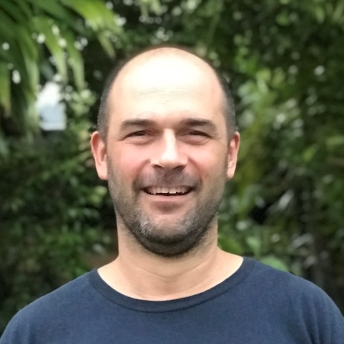
Tim Smith
- Senior Research Officer
- tim.smith2@jcu.edu.au
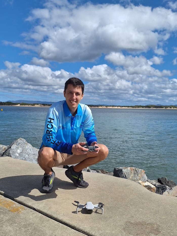
Alejandro Navarro Otero
- Casual Research Worker
- alejandro.navarrootero@jcu.edu.au
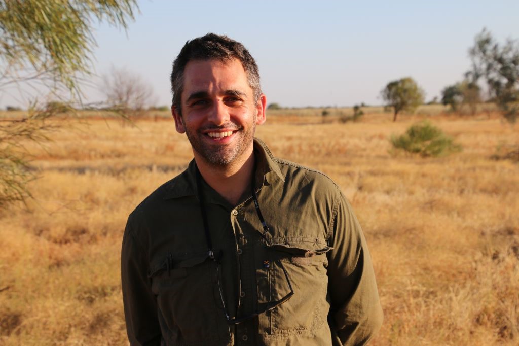
Jack Koci
- Principal Research Officer
- jack.koci1@jcu.edu.au
Sarah McDonald
- Senior Research Officer
- sarah.mcdonald@jcu.edu.au
Emily Webster
- Research Officer
- emily.webster1@jcu.edu.au

Abbi Scott
- Senior Research Officer
- abbi.scott1@jcu.edu.au

Catherine Collier
- Principal Research Officer
- catherine.collier@jcu.edu.au

Rob Coles
- Principal Research Scientist
- rob.coles@jcu.edu.au

Aaron Davis
- Principal Research Officer
- aaron.davis@jcu.edu.au
Port of Bundaberg Spoil Ground Studies (Old ID 27015)
Tim Smith
12 Aug 2020 - 30 Apr 2022
Seagrass and Benthic habitat assessments of the Bundaberg spoil ground areas.
Port of Bundaberg Spoil Ground Studies (Old ID 27015)
Skye McKenna
12 Aug 2020 - 30 Apr 2022
Seagrass and Benthic habitat assessments of the Bundaberg spoil ground areas.
NESP 4.1: Coastal seagrass of the Gulf of Carpentaria: building knowledge and capacity as a foundation for long-term monitoring
Alexandra Carter
01 Feb 2024 - 11 Dec 2026
The Gulf of Carpentaria has globally significant seagrass habitat, supporting dugong, green turtle, and commercially important fish and prawns. Key to managing impacts to species in these habitats, including indirect impacts through land use within southern Gulf catchments, is reliable data on seagrass distribution and how it changes over time. Achieving this requires large-scale mapping and a ranger-led seagrass monitoring program. This project will map intertidal seagrass habitats from the western boundary of the Nijinda Durlga (Gangalidda) and Thuwathu/Bujimulla Indigenous Protected Areas to the Bynoe River near Karumba. This mapping focuses on data-deficient regions along the mainland coastline of the southern Gulf. New technologies for monitoring using drones will be collaboratively tested in key locations for ongoing monitoring of coastal habitats by rangers. This will contribute towards the development of a regional baseline of seagrass for the Gulf of Carpentaria.
Southern Expansion of Mackay-Whitsunday Ambient Marine Monitoring Program. (Old ID 23603)
Paula Cartwright
03 Jul 2017 - 31 Jul 2027
TropWATER will provide seagrass assessment and water quality logging/chemistry services to assist regional marine ambient monitoring program administered by Mackay Whitsunday Healthy Rivers to Reef Partnership. These data will assist Mackay Whitsunday Healthy Rivers to Reef Partnership with the preparation of a regional report card.
Green turtle satellite tracking data analysis and reporting (Old ID 26766)
Emily Webster
21 Feb 2020 - 01 Oct 2021
The project aims to understand (2) the patterns of habitat use and home range of foraging green turtles in Port Curtis? (2) How green turtles use habitats located within and immediately adjacent to port infrastructure in the western and southern sections of the Port, such as jetties and navigation channels? And (3) What are the patterns of movement and foraging behaviour of green turtles that shift between inside and outside the Inner Port habitats (i.e. from Pelican Banks to offshore of Curtis Is)?
Mapping Yanyuwa Sea Country - Intertidal (Old ID 27848)
Catherine Collier
25 Sep 2022 - 05 Dec 2022
This sub-project is a collaboration of specialists from James Cook University and Charles Darwin University. The team will survey the intertidal marine benthic habitats within Yanyuwa sea country. A baseline seagrass survey and ongoing monitoring will provide an opportunity for Traditional Owners to engage in the developing blue carbon economy and empower Yanyuwa people in decision-making in local resource use.
Providing Analytical and Technical Support To The HWQMP And Related Projects (Old ID 22190)
Aaron Davis
01 Jul 2015 - 31 Oct 2016
This project is the continuation of the Herbert Water Quality Monitoring Program on a reduced scale (only in the lower catchment). The aims of the project are revised to: *Assess the effects sugarcane land use practices on water quality within the Herbert River and on End of Catchment Loads *Provide estimates of annual and daily loads for the Paddock to Reef modellers to help validate Source Catchments Model. *Inform and guide future extension and research activities in the Herbert Catchment to meet Water Quality (WQ) objectives under Reef Plan 2014. * Identify remedial actions that will reduce the effects of degraded WQ and the subsequent impact on Great Barrier Reef Lagoon.
Boosting coral abundance on the Great Barrier Reef - Scaling up coral restoration using innovative Symbiodinium co-culture and mass larval supply on reefs (Old ID 25134)
Alexandra Carter
05 Jul 2018 - 28 Feb 2019
This project will supply millions of coral larvae and significantly increase the settlement and recruitment success of juvenile corals. This will rapidly replenish damaged GBR coral sites, restoring ecological functions and resilience of coral communities. Our concept will significantly increase the supply of high quality larvae of foundation corals and provide the world’s first mass production of larvae containing Symbiodinium microalgae, which will increase larval energy and settlement success and survival of newly settled corals. Innovations include coral larval restoration at larger scales (hundreds of square metres) than previous studies and pioneering front-line diagnostics to confer thermal tolerance in coral recruits. Our team includes world-leading researchers with decades of relevant experience collaborating directly with tourism and other Queensland businesses to provide cost-effective outcomes that can be commercially scaled to restore large reef areas in future.
Mapping Yanyuwa Sea Country - Boat. (Old ID 27872)
Alexandra Carter
25 Sep 2022 - 15 Dec 2024
This project is a collaboration of specialists including the Yanyuwa Traditional Owners and li-Anthawirriyarra Sea Rangers, scientists from James Cook University, Charles Darwin University and the Australian Institute of Marine Science, and Northern Territory Parks. The team will survey the subtidal marine benthic habitats within Yanyuwa sea country. Using data from the survey and other available information, rangers and scientists will work together to determine priority management areas and identify opportunities for broader community engagement in the management of sea country.
Synthesizing Three Decades of Seagrass Spatial Data from Torres Strait and Gulf of Carpentaria (Old ID 27428)
Michael Rasheed
01 Sep 2021 - 10 Jun 2022
The Gulf of Carpentaria and Torres Strait have globally significant seagrass habitat that provide food for threatened dugong and turtle, and habitat for commercially important fish and prawns. Key to understanding, managing, mitigating risk, and monitoring seagrass in this remote region is reliable data on seagrass distribution and species composition and how these changes through time. Data on seagrass has been collected in these areas since the 1980s, but data location and storage from these efforts remains disparate, in many cases not publicly available, and in some cases has already been lost. Our study will compile, validate and synthesize historical seagrass spatial data to create a publicly available database accessible on eAtlas. This product will provide end-users with a valuable spatial resource to assist management and monitoring of seagrass in the region.
Spatio-temporal assimilation of modelled catchment loads with monitoring data in the Great Barrier Reef
- 2016
- Institute of Mathematical Statistics
- Researchers:Stephen LewisZoe Bainbridge
Spatial patterns of seagrass dispersal and settlement
- 2016
- Blackwell Publishing
- Researchers:Alana GrechLen McKenzieMichael Rasheed
Start Date:
01 Jan 2009
End Date:
01 Jan 2026
Start Date:
01 Jan 2009
End Date:
01 Jan 2030
Start Date:
01 Jan 2014
End Date:
01 Jan 2030
Start Date:
01 Jan 2021
End Date:
01 Jan 2025
Start Date:
01 Jan 1981
End Date:
01 Jan 1984
Start Date:
01 Jan 1986
End Date:
01 Jan 1988
Start Date:
01 Jan 1973
End Date:
01 Jan 1973
Start Date:
01 Jan 2024
Start Date:
01 Jan 2022
End Date:
01 Jan 2023
Title:
Conference co-chair
Start Date:
01 Jan 2023
End Date:
01 Jan 2023