
Tropical Water & Ecosystems
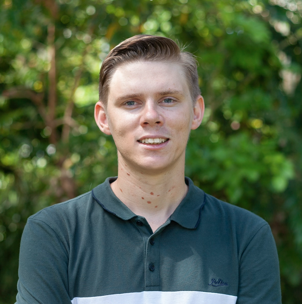
Scott Morrissey
- Research Officer
- scott.morrissey@jcu.edu.au
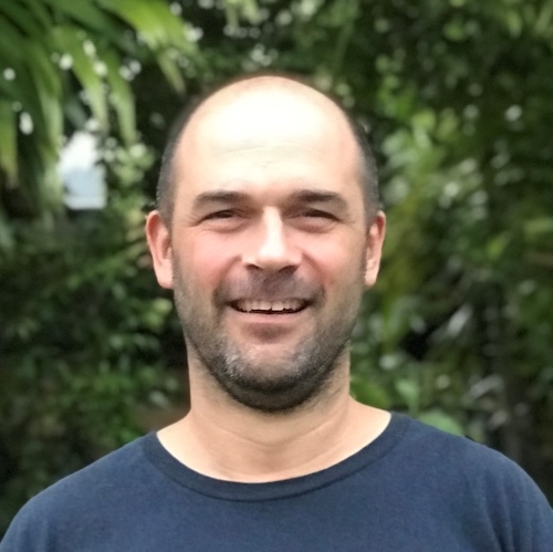
Tim Smith
- Senior Research Officer
- tim.smith2@jcu.edu.au
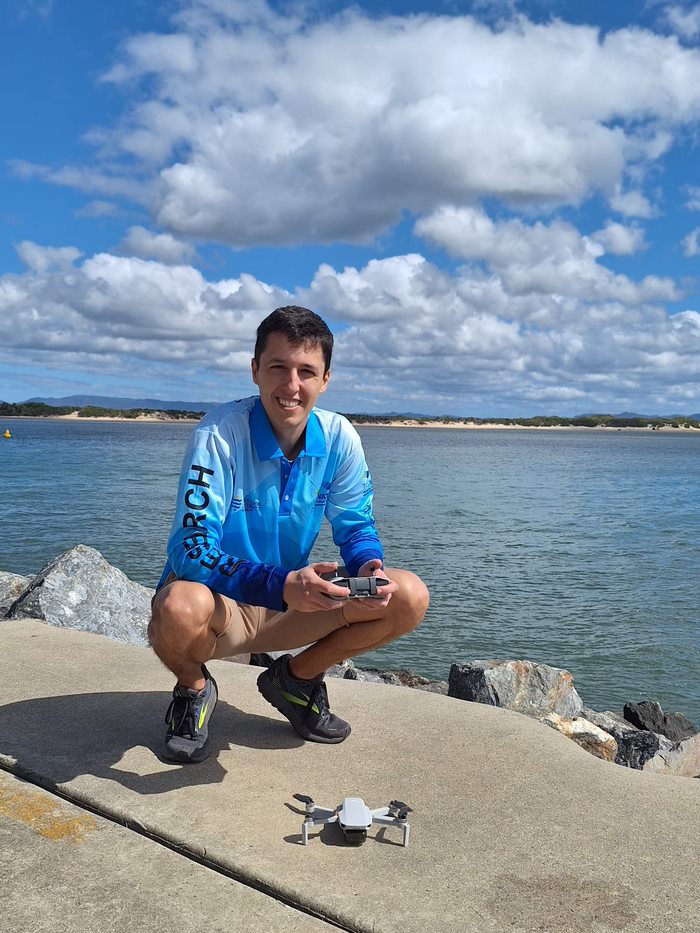
Alejandro Navarro Otero
- Casual Research Worker
- alejandro.navarrootero@jcu.edu.au
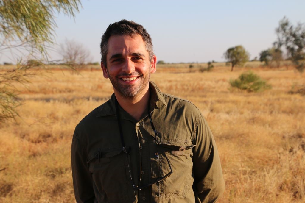
Jack Koci
- Principal Research Officer
- jack.koci1@jcu.edu.au

Sarah McDonald
- Senior Research Officer
- sarah.mcdonald@jcu.edu.au
Emily Webster
- Research Officer
- emily.webster1@jcu.edu.au

Abbi Scott
- Senior Research Officer
- abbi.scott1@jcu.edu.au

Catherine Collier
- Principal Research Officer
- catherine.collier@jcu.edu.au

Rob Coles
- Principal Research Scientist
- rob.coles@jcu.edu.au

Aaron Davis
- Principal Research Officer
- aaron.davis@jcu.edu.au
Protection, Restoration and Management of Seagrass and Saltmarsh Ecosystems of India
This project is about restoration, protection and management of seagrass and saltmarsh ecosystems from the coast of Odisha, India. Within the project GIS based mapping, field work for collection of sediment and plant samples, data analysis and reporting writing would be included. Consequently, restoration activities are also planned for both seagrass and saltmarsh ecosystems in India.
How are stingray communities distributed across tropical intertidal sandflats and which environmental factors influence their habitat use? (Old ID 27358)
Stingrays are important meso-predators in coastal habitats around the world that impact biotic communities and structure physical environments. However, broad spatial assessments of ray habitat use are lacking, resulting in poor understanding of their ecological value and how to implement effective management strategies. The project aims to assess how the composition of stingray communities varies across tropical intertidal sandflats and which environmental variables (including prey availability) influence their distribution patterns. This goal is divided into five research objectives whose outcomes will improve habitat use models for intertidal rays and investigate important aspects of ray foraging and movement behaviours.
Seagrass Mapping in West Cape York
This project will address critical gaps in habitat information by supporting the mapping of intertidal seagrass in priority areas where up-to-date data is lacking, particularly around Prince of Wales Island and the Seven Rivers region of West Cape York. These areas are essential to the management of threatened species such as dugongs and marine turtles, yet they remain under-surveyed.
Seagrass Mapping in West Cape York
This project will address critical gaps in habitat information by supporting the mapping of intertidal seagrass in priority areas where up-to-date data is lacking, particularly around Prince of Wales Island and the Seven Rivers region of West Cape York. These areas are essential to the management of threatened species such as dugongs and marine turtles, yet they remain under-surveyed.
Seagrass Mapping in West Cape York
This project will address critical gaps in habitat information by supporting the mapping of intertidal seagrass in priority areas where up-to-date data is lacking, particularly around Prince of Wales Island and the Seven Rivers region of West Cape York. These areas are essential to the management of threatened species such as dugongs and marine turtles, yet they remain under-surveyed.
Mandubarra Healing Country Seagrass Program (Old ID 27873)
JCU will co-design and implement a habitat mapping program with Mandubarra Land and Sea Rangers on their sea country at Kurrimine Beach/King Reef. JCU will provide training for Mandubarra Rangers on benthic habitat mapping techniques and seagrass identification at a series of workshops and will work with a Mandubarra Project officer to produce maps and a report, present findings and liaise with Mandubarra Rangers, Traditional Owners and the community on recommendations for future collaborations through a series of workshops.
Using new technologies to assess the health, connectivity and movements of dugongs in northern Australia (Old ID 30031)
In this study we propose to: Activity 1. Dugong genomic work i.e., facilitate the collection of dugong samples in collaboration with Indigenous groups and create capacity to analyse samples from stranded dugongs. Activity 2. Dugong body condition work i.e., facilitate the collection of close-up aerial images of dugong in collaboration with Indigenous groups. Activity 3. Dugong tracking apparatus testing to enable the longer and safer tracking of dugongs to better understand the evolution in their inshore-offshore habitat use/large scale movements/movements as result of stress (including areas used at night).
Supporting Community Climate Action for Mangrove Resilience
Earthwatch Australia wishes to engage TropWater staff at JCU to provide specialist remote sensing
services and expert advice to complement community data to understand trends and conditions in identified
saltmarsh and mangrove ecosystems over time.
Earthwatch has been awarded funding by the Great Barrier Reef Foundation to deliver the project
“Community Climate Action for the Reef Climate Resilience Champions”. The central aim of this project is to
inspire and guide community action to protect and enhance tidal wetland ecosystem values and mitigate threats through
grassroots action in the Townsville and Mackay regions using community-led MangroveWatch monitoring programs.
NESP Project 5.11 Water quality trends analysis at key GBR basins (sediment and DIN)
Despite considerable government investment in Great Barrier Reef catchment area (GBRCA) water quality programs (>$2B) including on-ground works and regulation, this is the first comprehensive analysis of long-term trends in empirical water quality monitoring data to test and quantify any detectable changes. Building on the definitive compilation of four decades of historical water quality data for key river basins of the GBRCA (James at al., 2025), this project will examine long-term trends in Reef 2050 Plan priority constituents, dissolved inorganic nitrogen (DIN) and suspended sediment. To compliment this evaluation, this project will compile and evaluate changes in fertiliser application amounts across the river basins of the GBRCA over the same time period. This compilation of land use specific fertiliser application data also provides a foundational record of long-term changes in land management over annual timesteps. This project will inform current and future Reef policy and on-ground investment programs, as well as support on-going catchment modelling efforts.
NESP Project 5.11 Water quality trends analysis at key GBR basins (sediment and DIN)
Despite considerable government investment in Great Barrier Reef catchment area (GBRCA) water quality programs (>$2B) including on-ground works and regulation, this is the first comprehensive analysis of long-term trends in empirical water quality monitoring data to test and quantify any detectable changes. Building on the definitive compilation of four decades of historical water quality data for key river basins of the GBRCA (James at al., 2025), this project will examine long-term trends in Reef 2050 Plan priority constituents, dissolved inorganic nitrogen (DIN) and suspended sediment. To compliment this evaluation, this project will compile and evaluate changes in fertiliser application amounts across the river basins of the GBRCA over the same time period. This compilation of land use specific fertiliser application data also provides a foundational record of long-term changes in land management over annual timesteps. This project will inform current and future Reef policy and on-ground investment programs, as well as support on-going catchment modelling efforts.
Coral decline threatens fish biodiversity in marine reserves
- 2004
- National Academy of Sciences
- Researchers:Maya Srinivasan
Mid-late Holocene sea-level variability in eastern Australia
- 2008
- Wiley-Blackwell
- Researchers:Stephen Lewis
Start Date:
01 Jan 2009
End Date:
01 Jan 2026
Start Date:
01 Jan 2009
End Date:
01 Jan 2030
Start Date:
01 Jan 2014
End Date:
01 Jan 2030
Start Date:
01 Jan 2021
End Date:
01 Jan 2025
Start Date:
01 Jan 1981
End Date:
01 Jan 1984
Start Date:
01 Jan 1986
End Date:
01 Jan 1988
Start Date:
01 Jan 1973
End Date:
01 Jan 1973
Start Date:
01 Jan 2024
Start Date:
01 Jan 2022
End Date:
01 Jan 2023
Title:
Conference co-chair
Start Date:
01 Jan 2023
End Date:
01 Jan 2023