
Tropical Water & Ecosystems
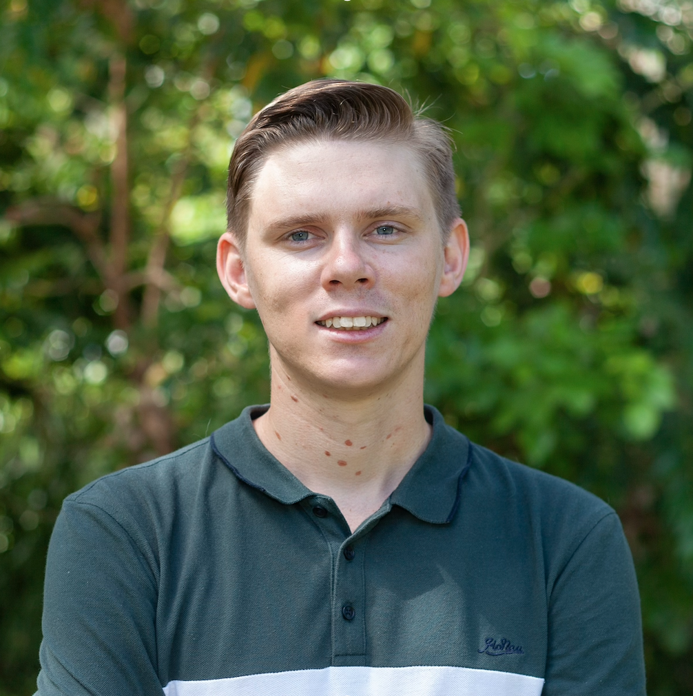
Scott Morrissey
- Research Officer
- scott.morrissey@jcu.edu.au
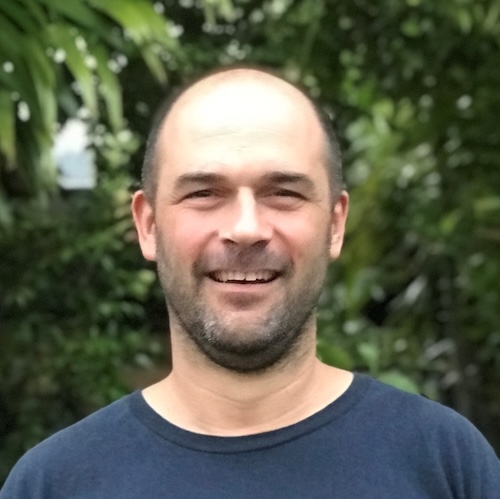
Tim Smith
- Senior Research Officer
- tim.smith2@jcu.edu.au
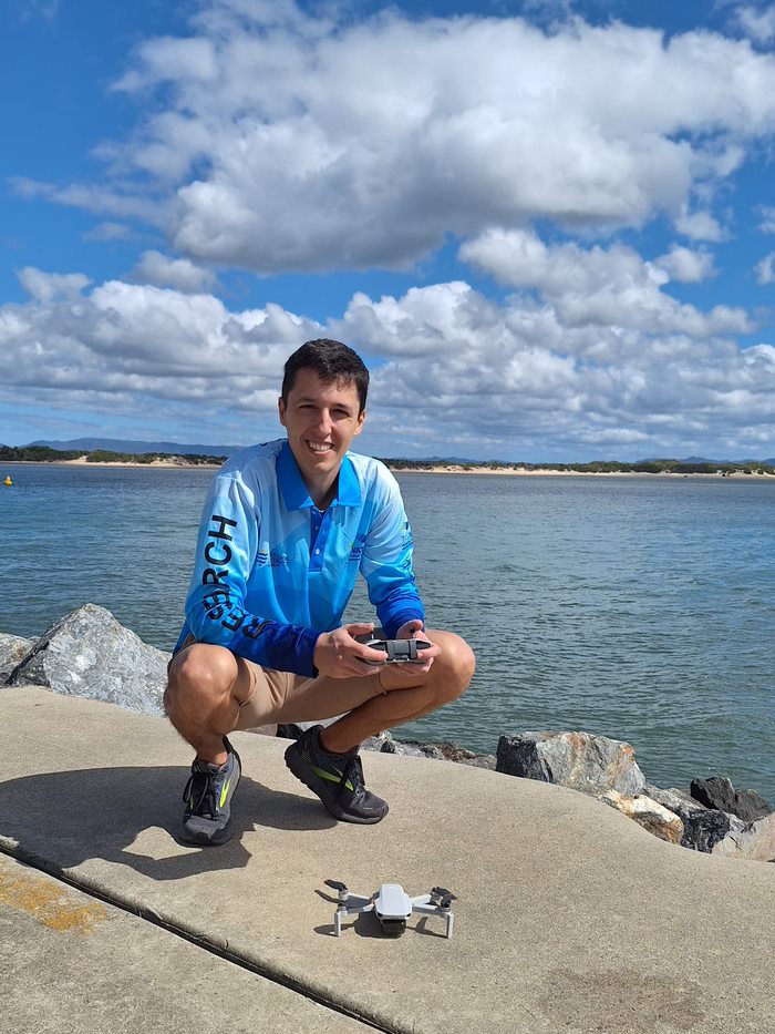
Alejandro Navarro Otero
- Casual Research Worker
- alejandro.navarrootero@jcu.edu.au
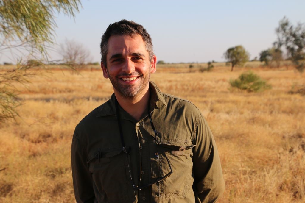
Jack Koci
- Principal Research Officer
- jack.koci1@jcu.edu.au
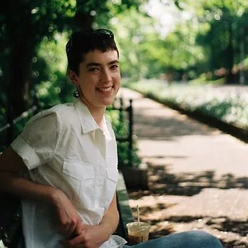
Sarah McDonald
- Senior Research Officer
- sarah.mcdonald@jcu.edu.au
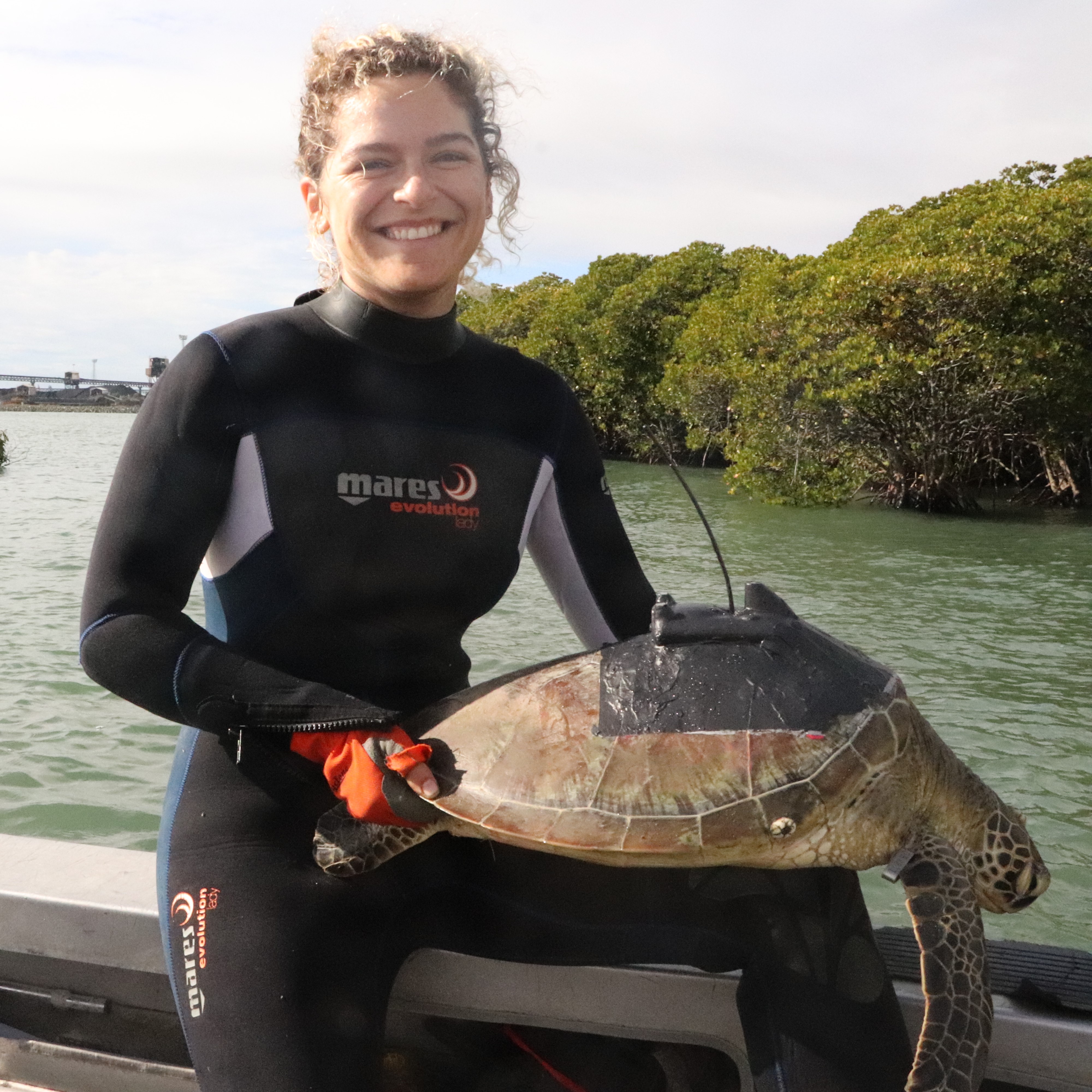
Emily Webster
- Research Officer
- emily.webster1@jcu.edu.au

Abbi Scott
- Senior Research Officer
- abbi.scott1@jcu.edu.au

Catherine Collier
- Principal Research Officer
- catherine.collier@jcu.edu.au

Rob Coles
- Principal Research Scientist
- rob.coles@jcu.edu.au

Aaron Davis
- Principal Research Officer
- aaron.davis@jcu.edu.au
Characterising Mary River flood sediment deposited in Hervey Bay. (Old ID 27627)
Zoe Bainbridge
29 Apr 2022 - 30 Jun 2022
Analysis of recently deposited sediments in seagrass meadows offshore from the Mary River.
Fire and Environmental Change in Northern Australia during the Late Holocene (Old ID 23372)
Emma Rehn
01 Jul 2017 - 30 Jun 2019
This project addresses the lack of palaeoenvironmental and palaeofire records available for northern Australia. I will analyse both micro-(<125µm) and macroscopic (>125µm) charcoal from sediment cores collected from lacustrine sites in Cape York and Arnhem Land. I will also analyse modern charcoal collected in fire traps placed during fieldwork to create a modern analogue. Collaboration with AINSE/ANSTO will result in a high-resolution chronology for each site, with implications for the wider region.
2017 Eastern Cape York Shoreline Environmental Surveys (Old ID 23402)
Norm Duke
07 Apr 2017 - 22 Dec 2017
The aim of this project is to conduct shoreline surveys along Australia's east coast from Cairns to Cape York during 2017. These works will involve a number of activities focused on monitoring the character and condition of shoreline habitats and estuaries, as well as partnering with local indigenous custodians, filming in aerial surveys plus field investigations and mapping. This work compliments extent mapping undertaken by the Qld Herbarium in that both extent and condition are required to assess the status of mangrove ecosystems. This project will evaluate and combine spatial and condition monitoring coupled with identification of drivers of change for all key instances of change.
Keeping our chemicals in their place - in the field (Old ID 24738)
Aaron Davis
01 Jul 2017 - 01 Jul 2021
The study assesses on-farm management practices in relation to minimising off-farm losses of pesticides in the Australian sugar industry. The study will involve a series of integrated short-term and long-term paddock-scale studies of pesticide movement in runoff to identify best management practices for pesticide management.
Implementation Plan for Dugong Population Surveillance in the Southern Great Barrier Reef. (Old ID 27614)
Christophe Cleguer
05 Apr 2022 - 30 Jun 2022
There are evidences of dugongs declining in the southern Great Barrier Reef (sGBR) and monitoring is overdue. New technologies such as aerial imagery could enhance the survey of dugongs in the sGBR but an implementation plan needs to be developed to review the latest advances in survey technology as well as knowledge gaps, to better advise on the most adequate way to survey dugongs in the sGBR in the next surveys.
Applying Indigenous and western science knowledges to inform the sustainable management of a dugong and seagrass hotspot in the Girringun TUMRA (Old ID 27853)
Alexandra Carter
28 Nov 2022 - 31 May 2024
Girringun Aboriginal Corporation (GAC) are deeply concerned about potential threats and reduced resilience for the coastal environment. This project will address knowledge gaps around dugongs and seagrasses that are core to Traditional Owner’s cultural identity and traditional values; critical to the cultural, natural, socio-economic values of the Girringun Traditional Use of Marine Resources Agreement (TUMRA) and Indigenous Protected Area, the Great Barrier Reef World Heritage Area and the Hinchinbrook Island Dugong Protection Area. This project is a collaboration between GAC, seagrass and dugong experts from James Cook University, and Charles Darwin University to heal the Reef.
Mapping South East Arnhem Land Sea Country - Intertidal (Old ID 27885)
Alexandra Carter
11 Nov 2022 - 30 Jun 2023
Understanding the location and extent of ecological and cultural values in Sea Country is necessary to support the aspirations of South East Arnhem Land (SEAL) people and further their connection with Sea Country through sustainable resource management. The proposed SEAL Sea Country IPA has high biodiversity values, including extensive habitat for large foraging populations of dugong and turtles which depend on healthy seagrass. Historical seagrass data, dugong aerial surveys (2019), recent surveys in adjacent Marra Sea Country (2021) and the Yanyuwa IPA (2021-22) indicate that extensive areas of seagrass habitat also occur in the SEAL IPA. However, there are no recent maps of seagrass habitat in the IPA. This project will assist the Aboriginal Traditional Owners to protect, maintain and sustainably manage Aboriginal land/ and sea country within the proposed SEAL Marine Indigenous Protected Area by providing base line bilingual maps, GIS and report of seagrass and other benthic habitats.
Seagrass surveys in the lower Gulf of Carpentaria, Queensland (Old ID 29024)
Alexandra Carter
15 Jun 2023 - 01 May 2024
The proposed work is for marine habitat mapping in the in the Thuwathu/Bujimulla Indigenous Protected Area (TBIPA). Benthic habitats for this area have not been surveyed for more than 15 years and so it is considered a high priority for a comprehensive survey. This will expand the scope (i.e. coverage) of planned benthic habitat surveys currently funded by Parks Australia for the Gulf of Carpentaria Marine Park (GOCMP) into the adjacent IPA. Therefore, the proposed project is supported by Parks Australia who have confirmed that this work is outside the scope of their funded work, but complements and enhances their work program given the importance of this area for marine turtle and dugong foraging and to the Lardil, Yangkaal, Kaiadilt and Gangalida Peoples. Funding will be used to procure a helicopter for surveying intertidal areas, and for staff time to undertake the surveys, process the data and deliver the outcomes including a ‘baseline’ map on which rangers can continue to monitor benthic habitat condition and to improve their negotiation on resource condition and use with other stakeholders in the region.
Enhancing AI detection of dugong and other marine megafauna species (Old ID 30032)
Christophe Cleguer
15 Jun 2023 - 01 May 2024
Standardised aerial surveys have been conducted across northern Australia for over three decades to monitor dugong populations. JCU is currently monitoring dugongs across the entire eastern Queensland coast using conventional observer survey approach. In parallel to the monitoring work, JCU is experimenting the use of aerial images to conduct these large scales surveys. Preliminary results from the image processing work reveals that substantial efforts need to be put in to streamline and fast-track the processing of large image datasets to make imagery survey a cost-effective approach in the future. An AI for detecting dugongs is available but was developed based on images collected in Western Australian waters, a different habitat compared to eastern Queensland inshore waters. Preliminary tests ran by our team suggest that the current AI requires additional research work to improve its level of precision while other competitive AIs also need to be investigated. Upon completion of our tests, our team will outline steps toward the improvement of the current AI and/or exploration of alternative methods with the end goal of producing an automated approach that fast-tracks the processing of large image datasets collected during large-scale marine wildlife surveys.
Seagrass monitoring for Inshore Marine South Zone for the Mackay-Whitsunday-Isaac Healthy Rivers to Reef Partnership (Old ID 31079)
Michael Rasheed
01 Jul 2023 - 30 Jun 2026
Continuation of annual seagrass monitoring program and development and implementation of seagrass condition report card in the south zone of the Mackay-Whitsunday-Isaac region.
Coral decline threatens fish biodiversity in marine reserves
- 2004
- National Academy of Sciences
- Researchers:Maya Srinivasan
Mid-late Holocene sea-level variability in eastern Australia
- 2008
- Wiley-Blackwell
- Researchers:Stephen Lewis
Start Date:
01 Jan 2017
End Date:
01 Jan 2019
Start Date:
01 Feb 2024
Start Date:
01 Jan 2012
End Date:
01 Jan 2025
Start Date:
01 Jan 2007
End Date:
01 Jan 2012
Start Date:
01 Jan 2020
End Date:
01 Jan 2023
Start Date:
01 Jan 2016
End Date:
01 Jan 2020
Start Date:
01 Jan 2015
End Date:
01 Jan 2016
Start Date:
01 Jan 2011
End Date:
01 Jan 2014
Start Date:
01 Jan 2021
Start Date:
01 Jan 2023