
Tropical Water & Ecosystems
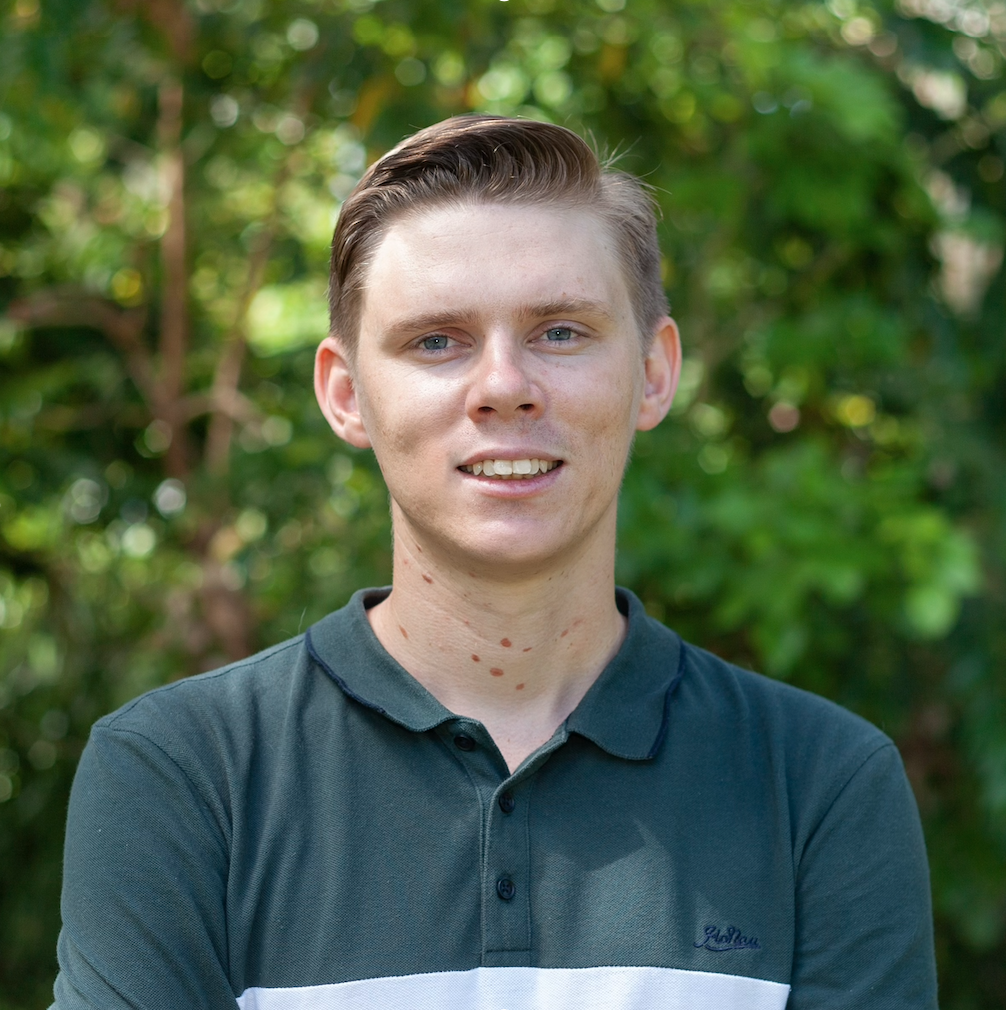
Scott Morrissey
- Research Officer
- scott.morrissey@jcu.edu.au
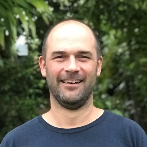
Tim Smith
- Senior Research Officer
- tim.smith2@jcu.edu.au
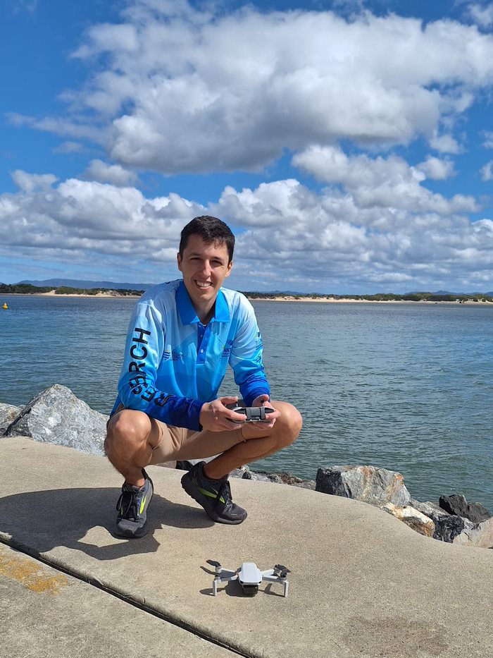
Alejandro Navarro Otero
- Casual Research Worker
- alejandro.navarrootero@jcu.edu.au
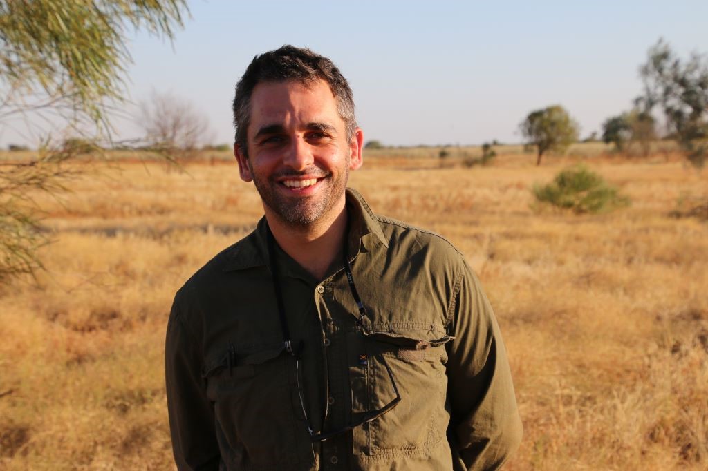
Jack Koci
- Principal Research Officer
- jack.koci1@jcu.edu.au
Sarah McDonald
- Senior Research Officer
- sarah.mcdonald@jcu.edu.au
Emily Webster
- Research Officer
- emily.webster1@jcu.edu.au

Abbi Scott
- Senior Research Officer
- abbi.scott1@jcu.edu.au

Catherine Collier
- Principal Research Officer
- catherine.collier@jcu.edu.au

Rob Coles
- Principal Research Scientist
- rob.coles@jcu.edu.au

Aaron Davis
- Principal Research Officer
- aaron.davis@jcu.edu.au
Light thresholds for seagrasses of the GBR: a synthesis and guiding document for managing seagrass (Old ID 22235)
Light levels (ie water quality/turbidity) can be managed to minimise seagrass losses. Recent attempts to define threshold levels of light required to maintain GBR seagrass state has resulted in a spectrum of recommendations with no single definitive source document to guide regulation. We will compile the available information on light thresholds into a guiding document, which will become a key reference for managers and regulators to use in generating relevant water quality guidelines and conditions for developments such as dredging programs. It will also highlight research information needs and provide interim guidelines for immediate management application.
Environmental Monitoring & Assessment of Frances Creek Operations (Old ID 22583)
Review of historic data and site visit for development of a receiving environment monitoring program for the Frances Creek Iron Ore Mine, Northern Territory.
Influences on inshore marine water quality in the dry season (Old ID 27285)
In this discreet pilot study, we will build on significant investment in the Great Barrier Reef MMP. We will build on the existing wet season mapping approaches developed through the MMP to investigate the application of these for the development of dry season water type maps using Sentinel satellite imagery. Ultimately, the aim is to understand: 1) the magnitude, duration and extent of poor water quality in the dry season, when the Reef is not affected by catchment run-off in river discharge; and 2) how this compares to the affects we can attribute to run-off in the wet season.
Monitoring, Modelling and Reporting Strategy for Landholders Driving Change project (Old ID 25096)
The objective of the Burdekin MIP is to work closely with groups in one or two focus areas, with the Bowen- Broken-Bogie (BBB) catchments, to trial a range of regionally tailored, coordinated actions that reduce sediment and nutrient loads. Throughout this Major Integrated Project, progress in achieving land management practice changes, economic benefits for landholders and pollutant load reductions will be closely monitored and results will inform adaptive management. This project is to develop an overarching Monitoring, Modelling and Reporting Strategy for the water quality component of the program.
Biosecurity molecular screening using eDNA technology (Old ID 27284)
This project will test the application of environmental DNA (eDNA) methods for invasive honeybees and bee parasites. The primary objective of the project is to research eDNA technology along with portable sequencing devices to determine their applicability for operational use in screening for priority species and diseases. In scopeactivities include development and testing of eDNA methods for laboratory analysis as well as portable diagnostic technology for detection in operational environments. The project will be carried out in collaboration with The Centre for Invasive Species Solutions (CISS), the University of Canberra and the Queensland Department of Agriculture and Fisheries.
Habitat characterisation and biodiversity surveys in West Cape York Marine Park and Torres Strait Dugong Sanctuary. (Old ID 27402)
Marine habitats of western Torres Strait and Cape York have long been identified as ecologically and culturally significant, supporting large areas of seagrass, high densities of dugongs and turtles, and traditional, commercial and recreational fisheries. These ecological values in the region have led to the establishment of the Torres Strait Dugong Sanctuary and the West Cape York Marine Park (WCYMP). Despite these values, benthic habitats including seagrasses, fish assemblages and the cultural significance of the region remain inadequately surveyed and documented. In this project we will: (1) Increase understanding of traditional knowledge and collaborate with Indigenous rangers and Traditional Owners to undertake marine park management. (2) Identify any changes/trends in the extent, health and diversity of seagrass meadows. (3) Provide a habitat map for the National Park, Habitat Protection and Special Purpose Zones in the southern region of West Cape York Marine Park. (4) conduct a pilot study of fish diversity.
Seagrass Monitoring in Wuthathi Sea Country (Old ID 31147)
Wuthathi land and sea country in far northern Cape York extends from Captain Billy landing south to Temple Bay and includes Shelburne Bay and Raine Island. JCU will work with Wuthathi rangers to continue to map coastal seagrass in Wuthathi and establish monitoring sites and methods. A range of techniques will be adopted, including airborne/spaceborne imagery (UAV drone and satellite) and transects for intertidal and shallow subtidal habitats and drop cameras in deeper subtidal waters. Wuthathi rangers will be trained in seagrass mapping and monitoring techniques to facilitate continued monitoring of seagrass habitats in Wuthathi sea country.
NESP 3.10 – A partnership approach to filling key knowledge gaps on dugongs in northern Australia using novel technologies (Old ID 28964)
In Australia, the dugong is protected under the EPBC Act 1999 as a listed migratory, and listed marine species, it is also a Matter of National Environmental Significance. The dugong is culturally significant to the coastal Aboriginal and Torres Strait Islander peoples of northern Australia and has a high biodiversity value. This project includes five activities that will contribute to addressing key knowledge gaps about the spatial and temporal patterns in the distribution, abundance, connectivity and health of dugong populations. The project is designed to inform management in several regions of high value habitat across northern Australia. Transversal to the activities described below is a strong partnership approach with Traditional Owners and members of the wider community. The project will be co-designed, co-produced and will co-deliver research and monitoring outputs. The studies will utilise and advance emerging technologies (e.g., aerial images collected from planes and drones, Artificial Intelligence, population genomics) with the ultimate goal of enhancing data quality, reducing research and monitoring costs, and increasing accessibility of monitoring tools to non-experts.
CYWP Annan Sediment Tracing (Old ID 27825)
Prepare, analyse and report on Annan Catchment tributary water samples for geochemistry and grain size, to assess the sources of sediment to Walker Bay.
Using eDNA methods for red imported fire ant (RIFA, Solenopsis invicta) detection
This project will test the extent to which red imported fire ants (RIFA) can be detected in soil around nests and adjacent water bodies.
Coral decline threatens fish biodiversity in marine reserves
- 2004
- National Academy of Sciences
- Researchers:Maya Srinivasan
Mid-late Holocene sea-level variability in eastern Australia
- 2008
- Wiley-Blackwell
- Researchers:Stephen Lewis
Start Date:
01 Jan 2023
End Date:
01 Jan 2024
Start Date:
01 Jan 2022
Start Date:
01 Jan 2022
Title:
Editorial Board Chemosphere
Start Date:
01 Jan 2022
Start Date:
01 Jan 2026
End Date:
01 Jan 2026
Title:
PhD, James Cook University
Start Date:
01 Jan 2011
End Date:
01 Jan 2015
Start Date:
01 Jan 2005
End Date:
01 Jan 2007
Start Date:
01 Jan 2021
End Date:
01 Jan 2022
Start Date:
01 Jan 2022
End Date:
01 Jan 2022
Start Date:
01 Jan 2024
End Date:
01 Jan 2024