
Tropical Water & Ecosystems
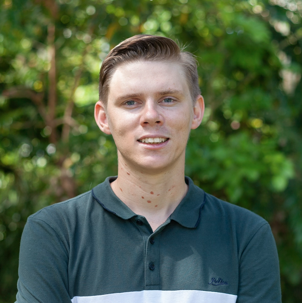
Scott Morrissey
- Research Officer
- scott.morrissey@jcu.edu.au
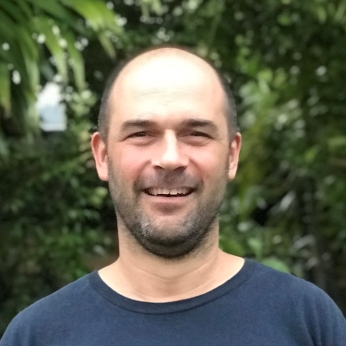
Tim Smith
- Senior Research Officer
- tim.smith2@jcu.edu.au
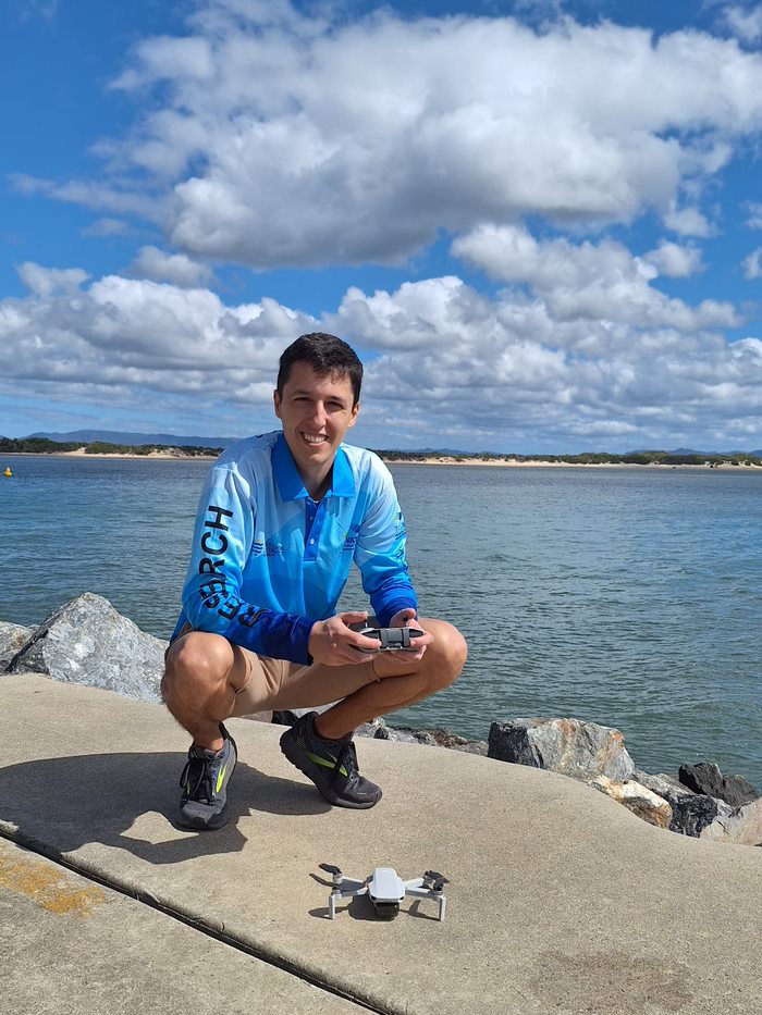
Alejandro Navarro Otero
- Casual Research Worker
- alejandro.navarrootero@jcu.edu.au
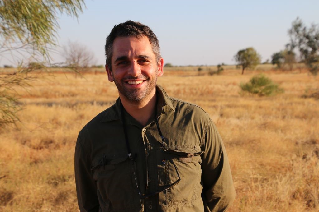
Jack Koci
- Principal Research Officer
- jack.koci1@jcu.edu.au
Sarah McDonald
- Senior Research Officer
- sarah.mcdonald@jcu.edu.au
Emily Webster
- Research Officer
- emily.webster1@jcu.edu.au

Abbi Scott
- Senior Research Officer
- abbi.scott1@jcu.edu.au

Catherine Collier
- Principal Research Officer
- catherine.collier@jcu.edu.au

Rob Coles
- Principal Research Scientist
- rob.coles@jcu.edu.au

Aaron Davis
- Principal Research Officer
- aaron.davis@jcu.edu.au
Evaluating the drivers of persistent bare soil in the Southern Gulf to inform rehabilitation and build drought resilience
This project will investigate the drivers of persistent bare soil development in parts of the Southern Gulf region of north-west Queensland in order to inform bare soil rehabilitation efforts and build drought resilience. The project will combine satellite imagery analysis of land cover change, with long-term rainfall analysis, and on-ground field data collection, including drone mapping, soil sampling and land condition assessment at selected sites. The project will communicate and disseminate findings through demonstration sites, field days, production of communications material, working collaboratively with landholders, Southern Gulf NRM, and the TNQ Drought Hub. Importantly, the project will leverage and add value to an existing project focused on the demonstration of bare soil rehabilitation techniques for building drought resilience. While focused in the Southern Gulf region, the new knowledge and information generated from this project will be of great value to other regions around Australia seeking to better understand the drivers of persistently bare soil development and rehabilitate and restore these degraded landscapes.
Ecosystem Services Gained and Lost from Proposed Development Areas
This project will examining the ecosystem services gained and lost for proposed development areas in the Gilbert River catchment.
Futureproofing tropical Australian seagrasses
The PhD research is focused on improving the success of seagrass restoration for species present in the wet tropics through trialing novel and established planting techniques.
Town Common Wetland Restoraiton NQDT
Working with NQ Dry Tropics, undertake wetland monitoring and research to investigate restoration efforts and success at Town Common Townsville.
Nesting climate refugia for southwest Pacific loggerhead turtles
To develop a scalable spatial analysis to identify climate refugia for nesting loggerhead turtles.
Refugia is defined as areas of current suitable nesting habitat whose exposure to threatening climactic variables is predicted to remain stable over time. the project will consider predicted sea level rise, erosion and temperature change at current and future scenarios. By comparing current and future levels of exposure to these climatic variables, maps that identify areas of imminent loss (exposure to climatic threats predicted to increase), novelty (exposure decreases) and refugia (exposure remains stable) can be developed. the project will also examine geomorphology of the coastline to map the current suitable nesting habitat and quantifying the vulnerability of that habitat to specific climatic and anthropogenic threats.
Improving land condition across Southern Gulf rangelands to build resilience to variable and extreme climate
Grant: https://www.business.qld.gov.au/running-business/environment/natural-resource-funding/apply#key-dates
Project description:
Recent extreme climatic events (e.g., the 2019 flood and preceding drought, and the 2023 flood) have had a devasting impact on the Southern Gulf’s grazing industry and local communities, as well as the health and functioning of the region’s sensitive natural assets, including soils, pastures, water, and biodiversity. The occurrence and severity of such extreme climatic events are predicted to increase into the future. The overarching aim of the project is to build resilience in Southern Gulf rangeland production systems to better manage climate variability and extreme climatic events, through improving land condition. Land that is maintained in good condition is less susceptible to severe impacts associated with extreme climatic events and recovers more quickly after events occur. To achieve improved land condition across the region, the project will work directly with X land managers to implement on-ground land management practice changes and/or remediation treatments, spanning an estimated area of X. The effectiveness of these interventions will be rigorously monitoring and evaluated, and the data made publicly available. Key learnings and outcomes will be passed on to the other landholders, NRM groups, Government extension staff and researchers through demonstration sites, field days, communications materials, scientific publications, and capacity building events. Overall, the project will provide much needed new knowledge, information, data, tools, and capacity to better manage and respond to climate variability and extreme climatic events across the Southern Gulf region, and other parts of northern Australia.
Bowen Wharf Baseline Environmental Assessments
In preparation of development of the Bowen Wharf, North Queensland Bulk Ports (NQBP) have engaged TropWATER to fill information gaps on marine habitats and marine megafauna to help inform approval processes for development.
Information on seagrass habitat, coral and megafauna were identified as knowledge gaps in the recent Bowen Wharf Environmental Values Assessment.
This project will address these knowledge gaps through; on-ground assessments (i.e., low-level aerial surveys (UAV & MAV), on-foot surveys, subtidal surveys using underwater camera systems), vessel-based field observations, and remote imagery.
Bowen Wharf Baseline Environmental Assessments
In preparation of development of the Bowen Wharf, North Queensland Bulk Ports (NQBP) have engaged TropWATER to fill information gaps on marine habitats and marine megafauna to help inform approval processes for development.
Information on seagrass habitat, coral and megafauna were identified as knowledge gaps in the recent Bowen Wharf Environmental Values Assessment.
This project will address these knowledge gaps through; on-ground assessments (i.e., low-level aerial surveys (UAV & MAV), on-foot surveys, subtidal surveys using underwater camera systems), vessel-based field observations, and remote imagery.
Alluvial Gully Remediation in the Upper Burdekin Catchment (Old ID 27857)
In catchments draining to the Great Barrier Reef World Heritage Area, northeast Queensland, Australia, excess sediment derived from gully erosion is contributing to poor coastal water quality. Remediating and preventing further degradation of these landscapes is a major focus of investment toward improving coastal water quality. This project will monitor and evaluate the effect of several alluvial gully remediation measures on improving water quality in the Upper Burdekin catchment. The project will provide valuable new data, knowledge and understanding of the effectiveness of these remediation approaches for landholders interested in protecting and enhancing forage productivity, and for the organisations investing in activities to reduce sediment and nutrient loads delivered to the Great Barrier Reef.
Wuthathi River to reef baselines and monitoring framework
Wuthathi Aboriginal Corporation would like to engage TropWATER JCU to assist with the implementation of the Wuthathi IPA Plan of management. This work will include 4 components to investigate connections from the Harmer River to the inshore Islands including Coastal mangroves. helicopter survey of Wuthathi coastline from Olive River to Captain Billys Landing and offshore islands showing impacts to mangroves. Seagrass. Vessel-based inshore sub-tidal camera drop surveys east and west of Harmer Creek and one day at Bird Island reef flat potentially using walking/quadrat survey methods. Dugong. Desktop analysis of existing data. Vessel-based trip to collect dugong skin samples and survey population and Land-based drone surveys of inshore areas near Ma’au. Aquatic ecosystems and oyster bed surveys. Harmer River assessment and assessment of Ma’au oyster bed and habitat and nearby coastal wetland/saltmarsh and riverine assessment and off-bank assessments of Harmer Creek.
Coral decline threatens fish biodiversity in marine reserves
- 2004
- National Academy of Sciences
- Researchers:Maya Srinivasan
Mid-late Holocene sea-level variability in eastern Australia
- 2008
- Wiley-Blackwell
- Researchers:Stephen Lewis
Title:
Examination of PhD thesis
Start Date:
01 Jan 2019
End Date:
01 Jan 2019
Title:
Examination of PhD thesis
Start Date:
01 Jan 2022
End Date:
01 Jan 2022
Start Date:
01 Jan 2021
End Date:
01 Jan 2021
Start Date:
01 Aug 2025
Title:
Organising Committee member
Start Date:
01 Jan 2021
End Date:
01 Jan 2021
Start Date:
01 Aug 2025
Start Date:
17 Mar 2021
Start Date:
01 Apr 2023
Start Date:
18 Aug 2022
Start Date:
01 Jan 2016
End Date:
01 Jan 2016