
Tropical Water & Ecosystems
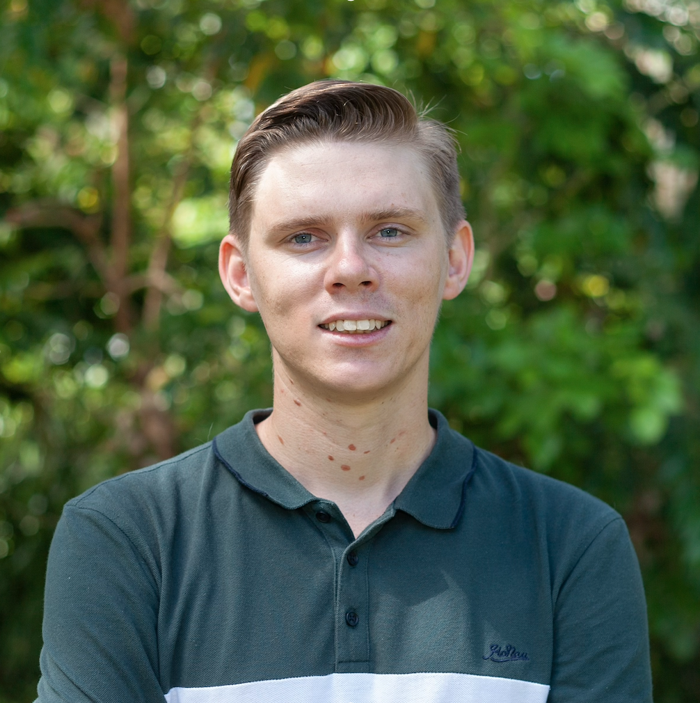
Scott Morrissey
- Research Officer
- scott.morrissey@jcu.edu.au
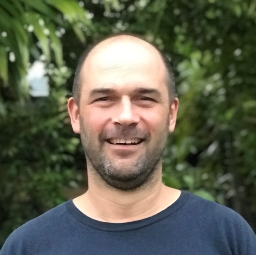
Tim Smith
- Senior Research Officer
- tim.smith2@jcu.edu.au
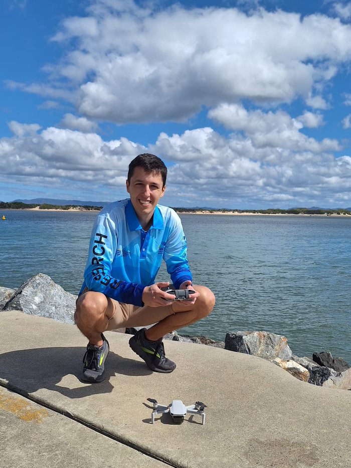
Alejandro Navarro Otero
- Casual Research Worker
- alejandro.navarrootero@jcu.edu.au
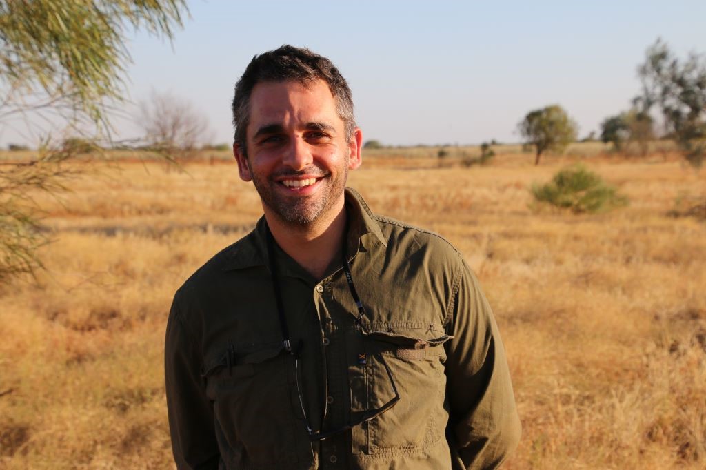
Jack Koci
- Principal Research Officer
- jack.koci1@jcu.edu.au
Sarah McDonald
- Senior Research Officer
- sarah.mcdonald@jcu.edu.au
Emily Webster
- Research Officer
- emily.webster1@jcu.edu.au

Abbi Scott
- Senior Research Officer
- abbi.scott1@jcu.edu.au

Catherine Collier
- Principal Research Officer
- catherine.collier@jcu.edu.au

Rob Coles
- Principal Research Scientist
- rob.coles@jcu.edu.au

Aaron Davis
- Principal Research Officer
- aaron.davis@jcu.edu.au
Carbon capture and dissemination amongst mangrove forests. (Old ID 27216)
The aim of this project is to provide the Department, including its specified experts and consultants, with key unpublished and published field data collected by Dr Duke and MangroveWatch - based on broadly defined parameters for carbon capture and dissemination amongst mangrove forests. These data have been gathered over three decades and relate to the significant mangrove ecosystem.
Restoring Seagrasses and their Blue Carbon in the Wet Tropics region of the Great Barrier Reef World Heritage Area (Old ID 27910)
Our project team will restore tropical seagrass meadows in far north Queensland and monitor their recovery as well as the response of important ecosystem services they provide. The foundation seagrass species at Mourilyan Harbour disappeared in 2010 following consecutive storm and flood events and has not returned naturally due to isolation from other populations. Recent pilot studies have successfully trialled methods demonstrating seagrass survival and growth more than 12 months after planting. Our Team comprises marine scientists, Indigenous rangers and recreational fishing volunteers. The restoration of these habitats should restore ecosystem functions and services such as the capture and storage of blue carbon, increased biodiversity including economically-important fish, prawn and crab species, improved water quality by trapping sediments and nutrients and enhanced cultural links for Indigenous communities by returning feeding grounds for dugong and turtles.
QRMF_DES (Old ID 31092)
Identify, review and synthesise existing prioritisation tools and update the WetlandInfo assessment toolbox with information on existing prioritisation tools.
Developing and refining biological indicators for seagrass condition assessments in an integrated monitoring program (Old ID 22243)
Refinement of biological indicators for condition assessment is an immediate priority as highlighted in a recent review of the GBR Marine Monitoring Program (MMP). Seagrass carbohydrate content is an early-warning indicator of water quality impacts. Samples collected quarterly since 2008 will be analysed and used to establish baselines and optimize protocols for applying carbohydrates as an indicator for future monitoring. Furthermore, calibration formulae to convert seagrass percent cover, the principal condition indicator, to biomass will be developed allowing integration across programs critical for the Reef-Wide Integrated Monitoring and Reporting Program. This project provides excellent value for money because samples have been collected in-kind.
Mt Leyshon Receiving Environment Monitoring & Environmental Assessment. (Old ID 26869)
Environmental monitoring and assessment to meet regulatory assessment requirements for aquatic, riparian and terrestrial systems in the region of the closed Mt Leyshon mine. In addition, there are investigations and research into site specific water quality and sediment quality objectives.
Improving waterway monitoring in the Australian tropics with eDNA sampling (Old ID 27845)
This project will develop an eDNA metabarcoding technique to enable a more comprehensive assessment of fish assemblages in tropical waterways than is possible using conventional sampling methods. This project will be undertaken as a collaboration between OzFish Unlimited, Townsville City Council and the Centre for Tropical Water and Aquatic Ecosystem Research (TropWATER). Samples will be collected by OzFish and Townsville City Council volunteers through existing citizen science initiatives.
Deriving ecologically relevant load targets to meet desire ecosystem condition for the Great Barrier Reef: a case study for seagrass meadows in the Burdekin region (Old ID 23153)
This project will derive ecologically relevant targets (ERTs) for water quality and sediment loads by: 1) defining seagrass desired state targets; 2) calculating water quality guidelines (light); and 3) calculating ERTs for terrestrially sourced sediment loads. Historical and new data collections will be used to derive ERTs via statistical models and eReefs (RECOM), and the seagrass sub-model in eReefs will be used to test ERTs. A framework for setting seagrass desired state will be developed for the entire GBR and water quality guidelines and sediment load ERTs will be quantitatively defined for the Burdekin basin where suspended sediments affect seagrass condition.
Monitoring and Evaluation Plan, Glush Weed (H,costata) Control in the Russell River Catchment Project (Old ID 21383)
Glush Weed is a highly invasive aquatic plant that forms dense stands which displace native flora and debilitate native fauna by altering their natural habitat. This monitoring framework assesses improvements to aquatic ecosystem health as a result of the control of Glus Weed in the Russell River catchment between 2014 and 2018. Outcomes include: documentation of the impacts of Glush Weed on Water quality and biotic communities, development of a baseline dataset for measuring future changes in condition and health of the waterway and, an assessment of changes in condition and health of waterways with reference to baseline datasets.
Environmental Water Knowledge and Research: Vegetation theme (Old ID 22787)
The Environmental Water Knowledge and Research Project is a five year, $10 million project to improve the science available to support environmental water management, and thereby contribute to achieving the Murray-Darling Basin Plan objectives.
Mapping of Hervey Bay and Great Sandy Straits seagrass meadows post floods (Old ID 27628)
This project will map seagrass meadows across Hervey Bay and collect data on intertidal seagrass habitats in Great Sandy Straits to provide post flood update on the state of seagrass meadows in the region.
Coral decline threatens fish biodiversity in marine reserves
- 2004
- National Academy of Sciences
- Researchers:Maya Srinivasan
Mid-late Holocene sea-level variability in eastern Australia
- 2008
- Wiley-Blackwell
- Researchers:Stephen Lewis
Title:
Southern eDNA Society
Start Date:
01 Jan 2024
Start Date:
01 Jan 2016
Start Date:
01 Jan 2024
Start Date:
01 Jan 2024
Start Date:
01 Jan 2001
End Date:
01 Jan 2005
Start Date:
01 Jan 2025
Start Date:
01 Jan 2026
Start Date:
01 Jan 2026
End Date:
01 Jan 2027
Start Date:
01 Jan 2026
Start Date:
01 Jan 2026
End Date:
01 Jan 2026