
Tropical Water & Ecosystems
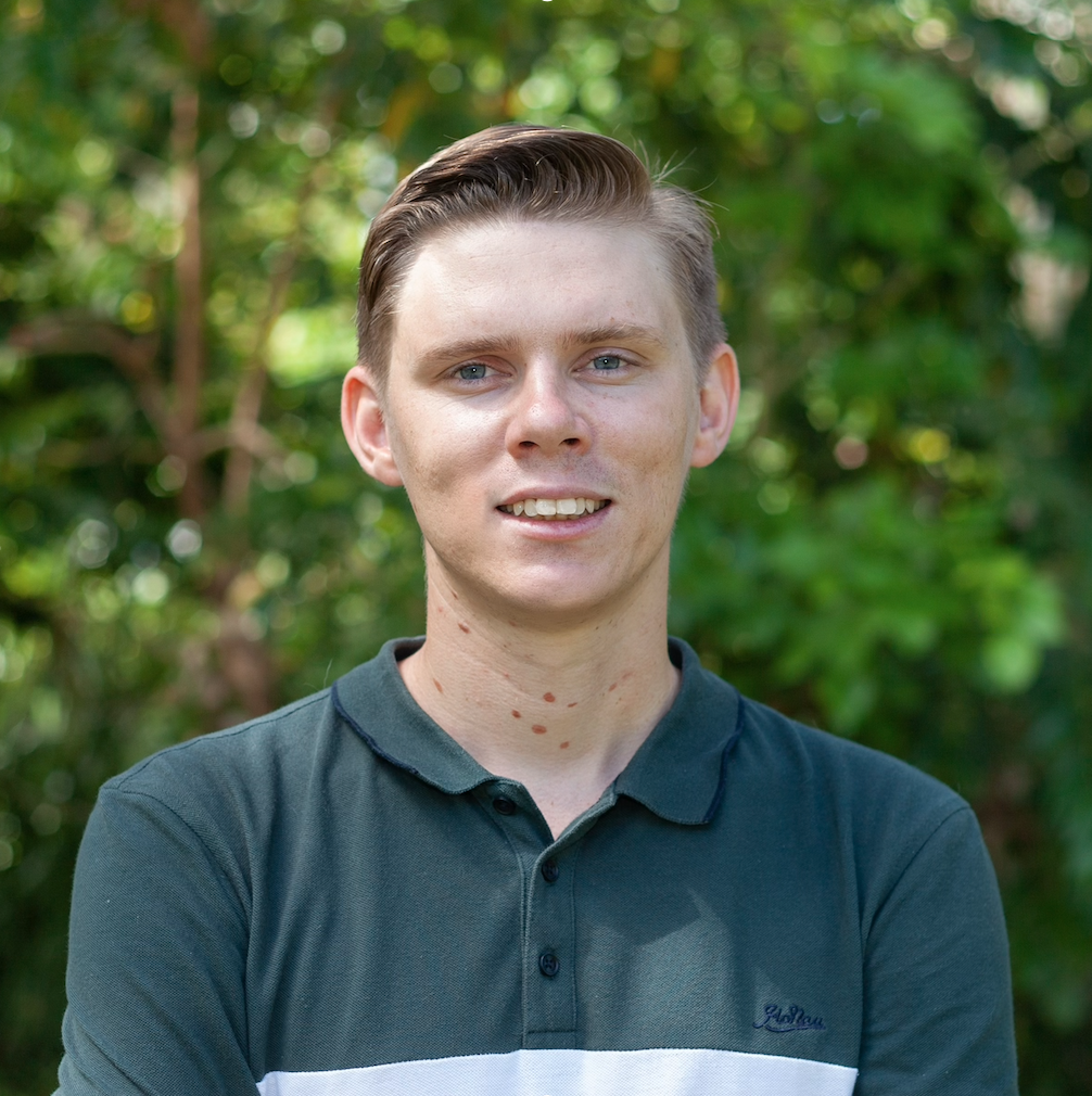
Scott Morrissey
- Research Officer
- scott.morrissey@jcu.edu.au
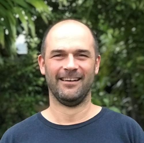
Tim Smith
- Senior Research Officer
- tim.smith2@jcu.edu.au
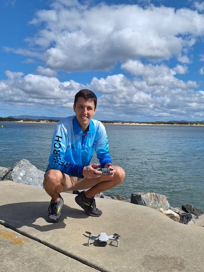
Alejandro Navarro Otero
- Casual Research Worker
- alejandro.navarrootero@jcu.edu.au
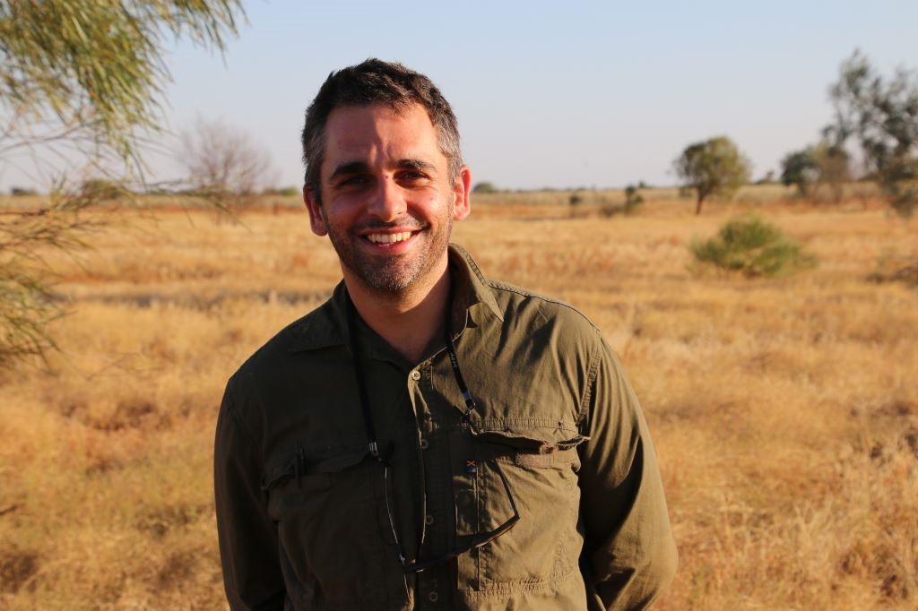
Jack Koci
- Principal Research Officer
- jack.koci1@jcu.edu.au
Sarah McDonald
- Senior Research Officer
- sarah.mcdonald@jcu.edu.au
Emily Webster
- Research Officer
- emily.webster1@jcu.edu.au

Abbi Scott
- Senior Research Officer
- abbi.scott1@jcu.edu.au

Catherine Collier
- Principal Research Officer
- catherine.collier@jcu.edu.au

Rob Coles
- Principal Research Scientist
- rob.coles@jcu.edu.au

Aaron Davis
- Principal Research Officer
- aaron.davis@jcu.edu.au
Ecotoxicology of pesticides on the Great Barrier Reef for guideline development and risk assessments (Old ID 23137)
Over 50 land-sourced pesticides have been detected in waters of the Great Barrier Reef (GBR) and its catchments. Previous studies on the risks posed by pesticides have focused on five priority PSll herbicides. However, other pesticides are increasingly being used, for which there are few fate, persistence and toxicity data. In order to improve water quality guidelines and assessments of the potential risks posed by these ' alternate' pesticides to GBR and its catchments we will quantify their toxicity to freshwater and marine species.
Determining nitrogen removal from floodplain restoration with Melaleuca (Old ID 27462)
Tree swamps, such as those with Melaleuca, have the potential to remove nitrogen from agricultural runoff. This project aims to: (i) assess the effectiveness of a Melaleuca planting integrated within a Wet Tropics cane-dominated catchment to remove nitrogen from floodwaters before it flows to the Great Barrier Reef; and (ii) scope locations for future tree swamp integration across the Great Barrier Reef catchment.
IMR Integrated Reef Fish Monitoring Program (Old ID 27812)
While critical knowledge of the abundance, diversity, and assemblage composition of Great Barrier Reef (GBR) fishes has been delivered by comprehensive and systematic monitoring programs across various spatial and temporal scales to date, significant knowledge gaps remain. These are being addressed through an Integrated Inshore Reef Fish Monitoring Program, funded by the Great Barrier Reef Foundation (GBRF) reef trust partnership and headed by the Australian Institute of Marine Science (AIMS) This project is a major component of this program and aims to monitor fish communities and habitats on the fringing reefs of 8 inshore island groups in the GBR Marine Park. It will continue an existing monitoring program that has been monitoring 4 island groups since 1998, and will expand on this legacy monitoring program considerably by adding four additional island groups which have not been previously monitored. It is part of a large-scale collaborative program, the Integrated Monitoring and Reporting (IMR) Inshore Fish Monitoring Project, funded by the Great Barrier Reef Foundation (GBRF) reef trust partnership and headed by the Australian Institute of Marine Science (AIMS).
Spatial and temporal trends in the health and resilience of Great Barrier Reef inshore seagrass meadows in relation to water quality (Old ID 20687)
The aim of this research is to monitor the abundance and species composition of seagrass, and identify areas of seagrass that have been significantly impacted by flood plumes in areas important to major dugong populations in the Great Barrier Reef World Heritage Area.
Design & Development of Receiving Environment Monitoring Program (Old ID 22207)
TropWATER will review the existing environmental monitoring data and undertake a detailed environmental survey of the Carpentaria Cold operations with a view to designing a receiving environment monitoring program to be implemented in the 2015/16 wet season.
Hay Point Shiploader Upgrade: Benthic Habitat Assessments (Old ID 26698)
Develop and implement a benthic habitat assessment program for Advisian to report on the benthic habitats in a specific area of the port to assist with berth upgrades.
Water Quality & Receiving Environment Monitoring Programs (Old ID 26879)
Environmental monitoring and assessment to meet regulatory assessment requirements for aquatic, riparian and terrestrial systems in the region of the closed Woodcutters mine, Northern Territory. In addition, there are investigations and research into site specific water quality and sediment quality objectives
Provision of Specialist Environmental Support to Townsville City Council. (Old ID 27681)
Submission for inclusion on a panel of pre-qualified Environmental Specialists to support TCC's Environmental Services team in planning and delivery of sustainable outcomes for the Townsville Community.
Aerial dugong surveys in Moreton Bay and Hervey Bay. (Old ID 27706)
Dugong aerial surveys estimating population size have been conducted in the Great Barrier Reef (GBR) since the 1980’s, providing a long-term trend and dataset. Aerial surveys are intended to be conducted every 5 years. The southern GBR was last surveyed in 2016, meaning the southern GBR surveys are 1 year overdue. Recent flooding in southeast Queensland has led to seagrass die off in Hervey Bay and the Great Sandy Straits and likely in other seagrass habitat that supports dugong. The southern GBR dugong population includes Hervey Bay and Moreton Bay, both of which are significant locations for dugongs. Both of these bays suffered significant floods in early 2022. Seagrass surveys of Hervey Bay in May 2022 revealed ‘almost no seagrass was left’. It is anticipated that, as occurred after the 2011 floods, dugong will strand and die, stop breeding and move out of previously important foraging areas. Further, surveys will contribute to the transition from human observer flights to aerial image capture and automated analysis, which will form the basis of future cheaper and safer technologies for assessing dugong populations.
Dugong aerial survey to assess recovery in Hervey Bay (Old ID 30033)
Early 2022 floods in the Hervey Bay region have had a severe impact on seagrass meadows. Dugong mortality records combined with our late 2022 dugong aerial survey suggest that while some dugongs perished as a result of food deprivation, other likely have moved away from the Hervey Bay-GSS area while those that remained in the area have concentrated around the middle of Hervey Bay, over remaining deep-water seagrasses. While the deep seagrasses appear to be on their way to recovery there is still uncertainty as to whether and how seagrasses would recover in the inshore intertidal areas, and whether dugongs are going to repopulate the region as a result (no dugongs were sighted across the entire Great Sandy Strait in late 2022). Here, we propose to resurvey the Hervey Bay-GSS region to document the recovery of dugongs and sea turtles in the area. The timing of the surveys will be discussed and aligned with seagrass monitoring research.
Start Date:
01 Jan 2023
End Date:
01 Jan 2024
Start Date:
01 Jan 2022
Start Date:
01 Jan 2022
Title:
Editorial Board Chemosphere
Start Date:
01 Jan 2022
Start Date:
01 Jan 2026
End Date:
01 Jan 2026
Title:
PhD, James Cook University
Start Date:
01 Jan 2011
End Date:
01 Jan 2015
Start Date:
01 Jan 2005
End Date:
01 Jan 2007
Start Date:
01 Jan 2021
End Date:
01 Jan 2022
Start Date:
01 Jan 2022
End Date:
01 Jan 2022
Start Date:
01 Jan 2024
End Date:
01 Jan 2024