
Tropical Water & Ecosystems
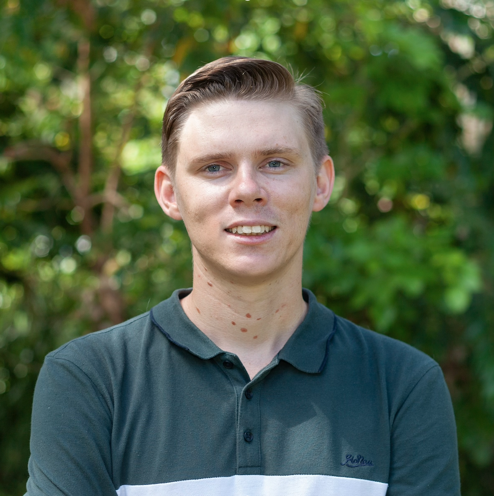
Scott Morrissey
- Research Officer
- scott.morrissey@jcu.edu.au
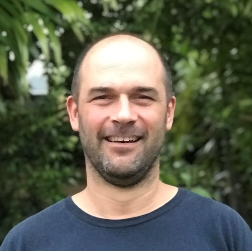
Tim Smith
- Senior Research Officer
- tim.smith2@jcu.edu.au
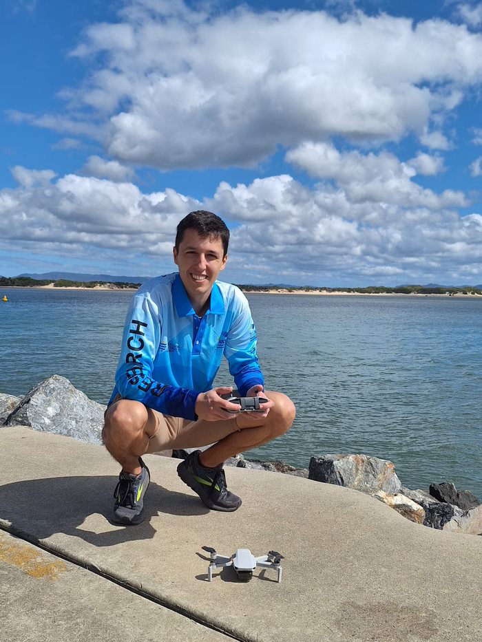
Alejandro Navarro Otero
- Casual Research Worker
- alejandro.navarrootero@jcu.edu.au
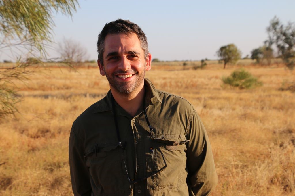
Jack Koci
- Principal Research Officer
- jack.koci1@jcu.edu.au
Sarah McDonald
- Senior Research Officer
- sarah.mcdonald@jcu.edu.au
Emily Webster
- Research Officer
- emily.webster1@jcu.edu.au

Abbi Scott
- Senior Research Officer
- abbi.scott1@jcu.edu.au

Catherine Collier
- Principal Research Officer
- catherine.collier@jcu.edu.au

Rob Coles
- Principal Research Scientist
- rob.coles@jcu.edu.au

Aaron Davis
- Principal Research Officer
- aaron.davis@jcu.edu.au
SmartCoast: Coastal management digital twin pilot in Torres Strait, Queensland based on LiDAR and satellite EO data fusion, with a focus on mangroves
SmartCoast is a research-industry collaboration between James Cook University, EOMAP and Fugro (Brisbane) to co-design a coastal management digital twin pilot that supports Geodata for the management of the effects of climate change and sea level rise is sensitive coastal areas, with a particular focus mangrove management and monitoring in Torres Strait, Queensland. For best practice we propose using satellite EO-LiDAR data fusion to provide accurate baseline data and models whilst also offering a cost-effective means to monitor change. The activities will be to: 1)
develop an efficient method to measure and detect mangroves accurately using satellite and LiDAR fusion technologies, 2) create and evaluate a research-based methodology for mangrove carbon sequestration estimates for Blue Carbon efforts that are essential measures of some key ecosystem benefits and will bring revenue to
Queensland (via carbon credits), 3) develop change detection technique based on the relatively low cost satellite data to monitor and predict shoreline ecosystem change (e.g. decrease of mangrove coverage) that are essential indicators for risk management monitoring regarding rising sea levels and extreme weather events, 4) hold workshops to understand the needs of Queensland coastal management decision makers and codesign a digital twin pilot (prototype) project in Torres Strait.
Expected outcomes are: 1) successful transferral of research, methods and expertise on mangrove management and earth observation techniques to an industry-led project; 2) a pilot platform (prototype) for coastal management to demonstrate the value of a digital twin of northern Queensland; 3) evaluation about commercialisation and scalability of the digital twin.
Desktop synthesis for the Seagrass Restoration Roadmap for the Great Barrier Reef
This is a short-term consultancy to inform the basis of a seagrass restoration roadmap across the GBR catchment. The consultancy will be a desktop analysis of currently available seagrass literature, with occasional interviews if required. The outcome will be a report used to inform the strategic scaling of future seagrass restoration activities, including opportunities for seagrass nursery locations, Traditional Owner involvement and further details, and an online meeting with GBRF to present the report and key findings.
Benthic Mapping with Angkamuthi Traditional Owners in West Cape York Marine Park
This project's requirements are for field work, data analysis and reporting on benthic habitats and fish, principally in the Habitat Protection and Special Purpose Zones of West Cape York Marine Park in the North Network of Australian Marine Parks in collaboration with Angkamuthi Traditional Owners.
Expanding Traditional Owner led seagrass monitoring and restoration in the Girringun TUMRA
Girringun elders and rangers have discussed the emerging Australian blue carbon market and are interested to learn more about what it means for Girringun clans and the health of their country. While progress has been made to include blue carbon in international and national policy and finance mechanisms, the full integration of coastal management activities as part of a climate mitigation strategy has not yet been realised. Estimates of organic carbon storage by seagrass meadows considering inter-habitat variability are essential to understand their potential to sequester carbon dioxide (CO2) and derive robust global and regional estimates of blue carbon storage. Girringun Aboriginal Corporation sees this project as an opportunity to investigate the potential to improve the health of our coast, trial new technology to map seagrass/ blue carbon habitat, estimate carbon value in sea country, increase ranger skills, and learn more about carbon storage in the TUMRA region and how emissions can be reduced in sea country.
The project is designed to use a two-way knowledge approach, incorporating Indigenous knowledge (IK) and western science and technology in the Girringun TUMRA. Through this project GAC aims to continue their collaboration with JCU and CDU and form a new partnership with UQ. GAC have chosen these university partners due to their scientific expertise in seagrass and carbon research and experience working with Traditional Owners and Indigenous Ranger groups. This project includes Traditional Owners for six coastal clan groups in the Girringun TUMRA.
Dugong tagging expedition in the Bazaruto Archipelago National Park (Mozambique)
James Cook University dugong research leader Dr Christophe Cleguer will be providing on-the-ground assistance to Africa Parks to coordinate the first ever dugong satellite tracking study in Africa. JCU and African Parks will carry out an innovative conservation initiative with the placement of satellite tracking tags with the aim of monitoring and thus better protecting the Dugong population in the Bazaruto Archipelago National Park (PNAB), Mozambique
Coral Sea Conservation – Mapping Fish Nurseries and Biodiversity Hotspots (Old ID 31184)
This project will locate fish nursery grounds and identify fish biodiversity, density, and life cycle habitat use in the reef lagoons in the Coral Sea Marine Park. This project will provide information that aligns with the national Australian Marine Park science priorities to assist with marine management plans and protection of marine park values and will help inform the 10-yearly statutory plan review. This project will provide information which will be useful for the development of management solutions to help enhance the health, ecological resilience, and sustainable economic use of the Coral Sea Marine Park.
Benthic Mapping with Traditional Owners and Wellesley Islands Rangers in the Gulf of Carpentaria Marine Park
There is little recent information on benthic habitats in the Gulf of Carpentaria Marine Park (GOCMP) and adjacent Thuwathu/Bujimulla Indigenous Protected Area (TBIPA), which is needed to make management decisions around zoning, habitat protection, assisted recovery, and species conservation. Marine habitats of the southern Gulf of Carpentaria have long been identified as ecologically and culturally significant, with large areas of seagrass supporting high densities of dugongs and turtles, and traditional, commercial and recreational fisheries. Wellesley Islands Rangers and scientists from JCU and CDU will conduct mapping at a scale that can comprehensively inform marine park management and the Lardil, Yangkaal, Kaiadilt and Gangalida peoples’ sustainable management of Sea Country.
NESP 4.6: Developing Traditional Owner community-led dugong monitoring in the Kimberley region
keystone species with considerable ecological and cultural value across northern
Australia. In the Kimberley region of Western Australia, dugongs have been identified as one of
the top priorities to monitor in an effort to ensure the population is maintained and traditionally
harvested in a sustainable manner. This project aims to have Traditional Owners and ranger
groups across the Kimberley use cost-effective and culturally appropriate approaches to (1) fill
knowledge gaps on the dugong’s population structure and connectivity at a range of spatial and
temporal scales and (2) monitor the animals’ presence, density and habitat use in areas that are
ecologically and culturally important to the local community and state and federal managers.
This program directly addresses the national priorities of conserving, protecting and sustainably
managing biodiversity through research and information management.
NESP 4.11: Scaling-up long-term seagrass restoration in the Cocos (Keeling) Islands
There is an urgent community-driven need to develop appropriate seagrass restoration approaches at scale for the Cocos (Keeling) Islands (CKI). Fast-tracking larger-scale restoration research is required to prevent imminent collapse and functional extinction of seagrasses at CKI due to past disturbance and current green turtle grazing pressure. This project builds on pilot studies to design and establish a network of larger-scale turtle exclusion areas where locally appropriate restoration approaches can be refined. At the same time, this will provide “seagrass refuges” to initiate recovery, monitor ecological effects, and provide for future restoration efforts. The project has been co-developed with the CKI community and Parks Australia, addressing their highest research priority identified in the newly established Cocos (Keeling) Islands Marine Park. The project will provide an action plan for ongoing interventions and strategies to future-proof local seagrasses and support seagrass-dependent species, such as
green turtles and fish, in the long term.
Development of mangrove indicators for the 2024 Gladstone Harbour Report Card
This 2024 program extends on those in 2018 & 2019 (Shultz et al. 2019, 2020). As before, a wide range of expertise will be used in this environmental management project in the PCPA TUMRA Indigenous Protected Area. The multiple threatened ecosystems of this Central Queensland region will be evaluated. The program will support GHHP efforts for the better management of shoreline environmental values. This will be achieved through the on-going implementation of an integrated monitoring and archiving program, bringing together the research, and remote sensing, gathered and compiled by expert mangrove tidal wetland scientists from James Cook University.
The integrated project will help identify environmental indicators and reporting options based on an updated thorough assessment of estuarine and coastal shorelines of their habitat condition, biodiversity conservation and landscape scale connectivity of shoreline ecosystems as described in the GHHP tender document. Ongoing consultation with the GHHP and other stakeholders will ensure a robust and lasting outcome.
Coral decline threatens fish biodiversity in marine reserves
- 2004
- National Academy of Sciences
- Researchers:Maya Srinivasan
Mid-late Holocene sea-level variability in eastern Australia
- 2008
- Wiley-Blackwell
- Researchers:Stephen Lewis
Start Date:
01 Jan 2023
End Date:
01 Jan 2024
Start Date:
01 Jan 2022
Start Date:
01 Jan 2022
Title:
Editorial Board Chemosphere
Start Date:
01 Jan 2022
Start Date:
01 Jan 2026
End Date:
01 Jan 2026
Title:
PhD, James Cook University
Start Date:
01 Jan 2011
End Date:
01 Jan 2015
Start Date:
01 Jan 2005
End Date:
01 Jan 2007
Start Date:
01 Jan 2021
End Date:
01 Jan 2022
Start Date:
01 Jan 2022
End Date:
01 Jan 2022
Start Date:
01 Jan 2024
End Date:
01 Jan 2024