
Tropical Water & Ecosystems
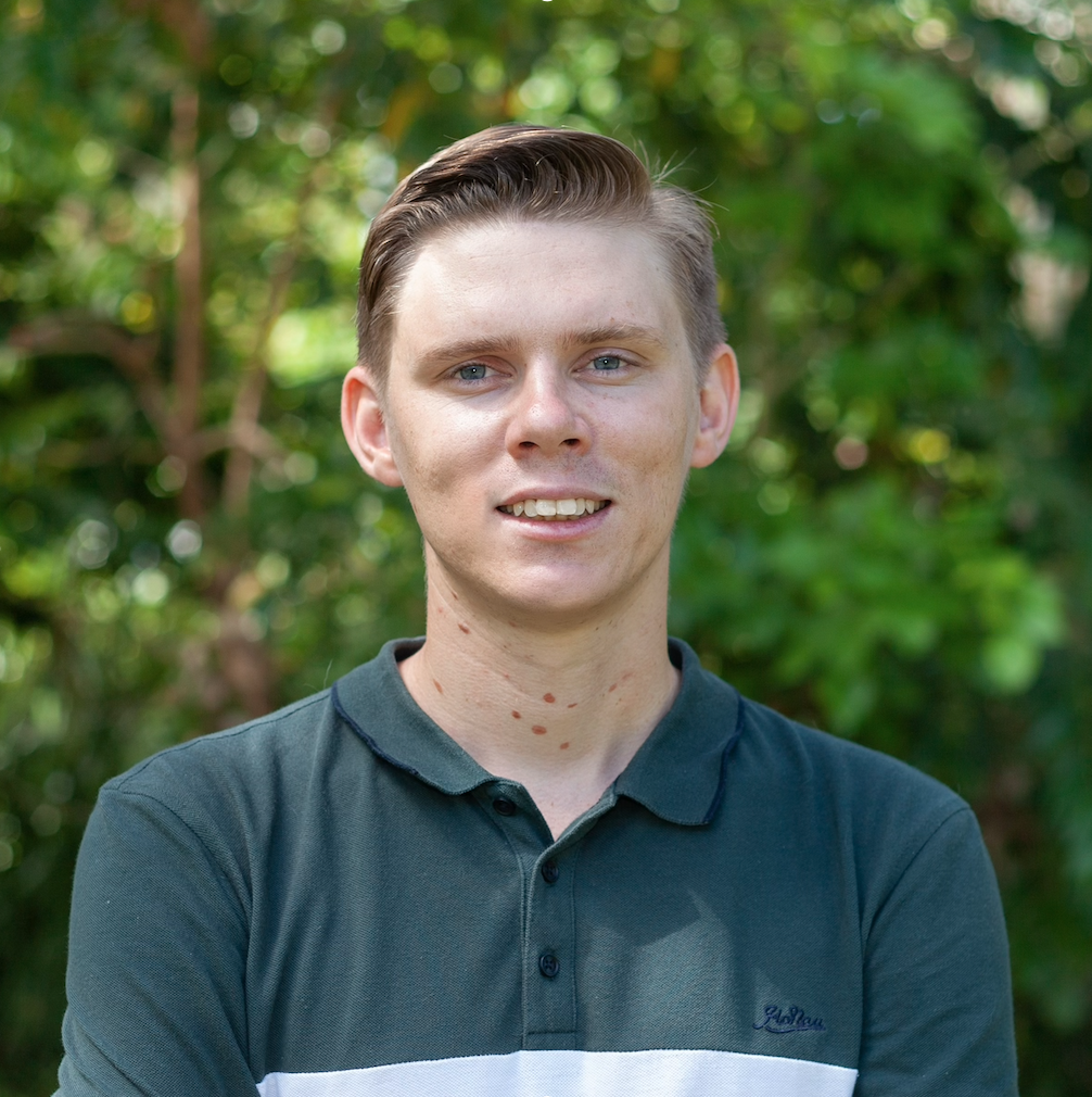
Scott Morrissey
- Research Officer
- scott.morrissey@jcu.edu.au
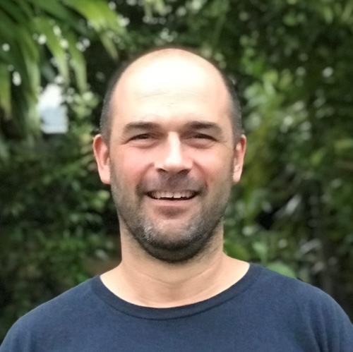
Tim Smith
- Senior Research Officer
- tim.smith2@jcu.edu.au
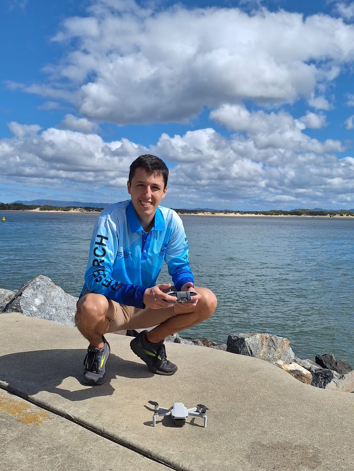
Alejandro Navarro Otero
- Casual Research Worker
- alejandro.navarrootero@jcu.edu.au
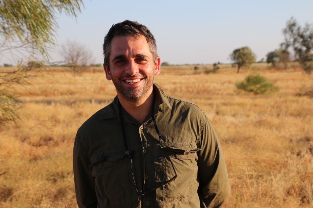
Jack Koci
- Principal Research Officer
- jack.koci1@jcu.edu.au
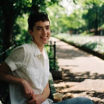
Sarah McDonald
- Senior Research Officer
- sarah.mcdonald@jcu.edu.au
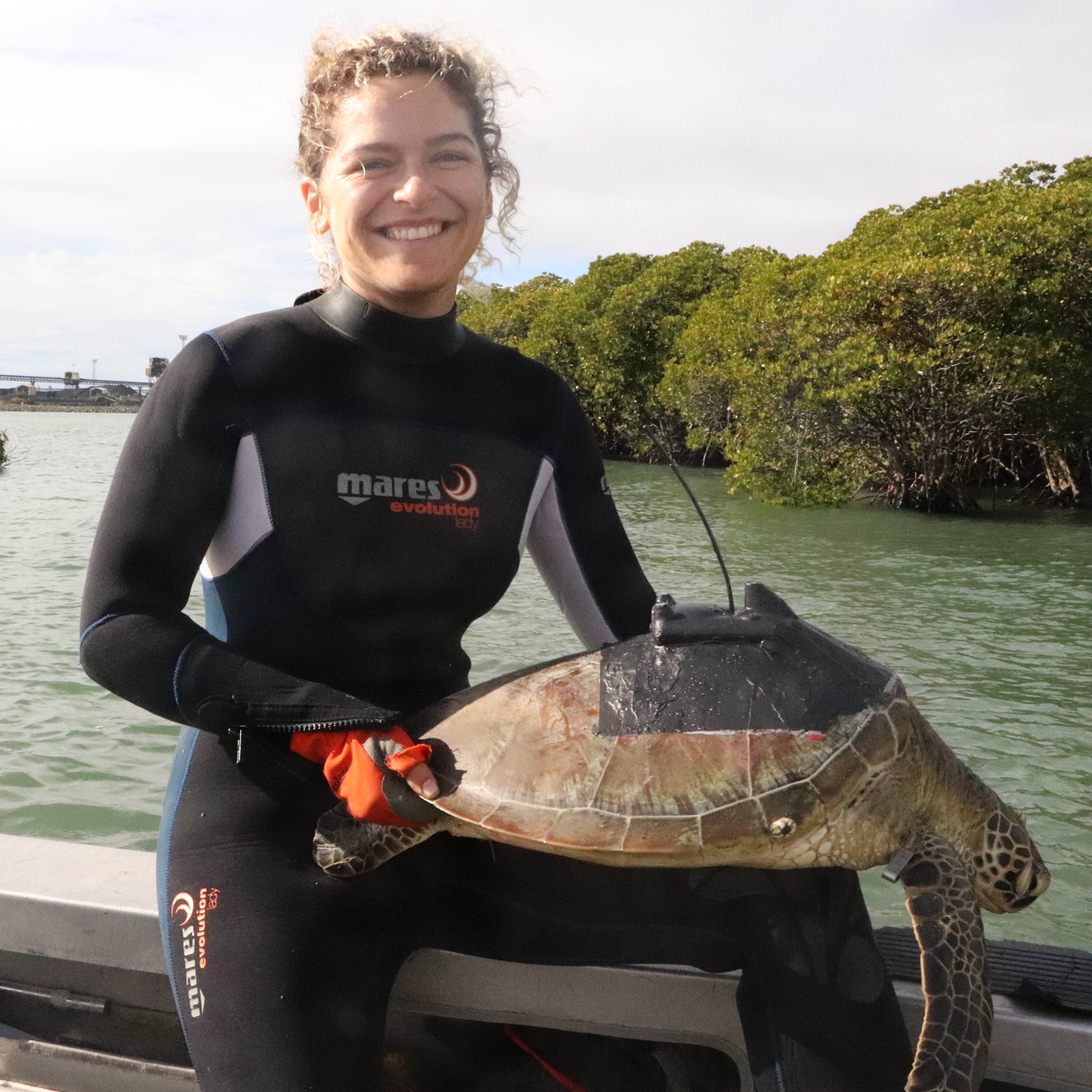
Emily Webster
- Research Officer
- emily.webster1@jcu.edu.au

Abbi Scott
- Senior Research Officer
- abbi.scott1@jcu.edu.au

Catherine Collier
- Principal Research Officer
- catherine.collier@jcu.edu.au

Rob Coles
- Principal Research Scientist
- rob.coles@jcu.edu.au

Aaron Davis
- Principal Research Officer
- aaron.davis@jcu.edu.au
Mapping Yanyuwa Sea Country - Intertidal (Old ID 27848)
This sub-project is a collaboration of specialists from James Cook University and Charles Darwin University. The team will survey the intertidal marine benthic habitats within Yanyuwa sea country. A baseline seagrass survey and ongoing monitoring will provide an opportunity for Traditional Owners to engage in the developing blue carbon economy and empower Yanyuwa people in decision-making in local resource use.
International Travel Support - INQUA 2019 (Old ID 26424)
Funding to support international travel to attend and present at the 20th International Quaternary Association Congress in Dublin, Ireland. Oral presentation of PhD results in palaeoenvironmental science.
Short Term Run-Off Studies on Conventional Knockdowns and Emerging Herbicides in the Burdekin (Old ID 21495)
Because of the characteristic furrow irrigation practises utilised in the lower Burdekin region, significant losses of herbicides into local waterways pose some of the highest risks to any receiving water bodies in the Great Barrier Reef catchment, particularly during the dry season when dilution effects are minimal. Despite substantial investment in practice changes such as improved application technologies (such as shielded sprayers), there has been minimal quantification of benefits to water quality from this funding. This study will compare water quality effects of traditional herbicide application techniques with emerging precision sprayer technologies in furrow irrigated farming systems of the lower Burdekin.
Torres Strait Ugar Island and Dugong Sanctuary Survey (Old ID 27471)
This project has two objectives: 1. To map intertidal reef-top and island benthic habitat, including seagrass, coral and algae, of Ugar Island and surrounding Reefs. We will identify the most important seagrass habitats in this region and compare results with recently mapped seagrass in the Kemer Kemer Meriam Nation and Torres Strait Central Cluster Islands. 2. Survey subtidal seagrass and other benthic communities, and fish communities, in the West Cape York Marine Park/ Southern Dugong Sanctuary to increase understanding of traditional knowledge and collaborate with Indigenous rangers and Traditional Owners to undertake marine park management, such as mapping and monitoring. We will identify any changes/trends in the extent, health and diversity of seagrass meadows.
Mapping Yanyuwa Sea Country - Boat. (Old ID 27872)
This project is a collaboration of specialists including the Yanyuwa Traditional Owners and li-Anthawirriyarra Sea Rangers, scientists from James Cook University, Charles Darwin University and the Australian Institute of Marine Science, and Northern Territory Parks. The team will survey the subtidal marine benthic habitats within Yanyuwa sea country. Using data from the survey and other available information, rangers and scientists will work together to determine priority management areas and identify opportunities for broader community engagement in the management of sea country.
Reef Restoration and Adaptation Program Design Phase (Old ID 25036)
The RRAP Design Phase seeks to deliver a business case for government, industry and private investment, the primary objective of which is to develop reef restoration and adaptation technologies that can be applied at scale, within affordability and practicality limits, to retain key functional attributes of the Great Barrier Reef. This project will contribute JCU expertise to evaluating coral restoration methods, undertaking regulatory and institutional environment mapping required for restoration to occur and an analysis of the viewpoints and engagement of stakeholders in reef restoration.
Lady Loretta Compliance Framework Review (Old ID 27380)
Desktop review and assessment of compliance surface water and stream sediment data to provide recommendations for an updated and/ or alternative compliance framework for Lady Loretta mine. This will include review of all existing data and assessment of potential cause/s of exceedances in existing program. Recommendations for an updated limnological monitoring program to be included in the site REMP will be developed.
Synthesizing Three Decades of Seagrass Spatial Data from Torres Strait and Gulf of Carpentaria (Old ID 27428)
The Gulf of Carpentaria and Torres Strait have globally significant seagrass habitat that provide food for threatened dugong and turtle, and habitat for commercially important fish and prawns. Key to understanding, managing, mitigating risk, and monitoring seagrass in this remote region is reliable data on seagrass distribution and species composition and how these changes through time. Data on seagrass has been collected in these areas since the 1980s, but data location and storage from these efforts remains disparate, in many cases not publicly available, and in some cases has already been lost. Our study will compile, validate and synthesize historical seagrass spatial data to create a publicly available database accessible on eAtlas. This product will provide end-users with a valuable spatial resource to assist management and monitoring of seagrass in the region.
ACIAR Daintree Study Tour (Old ID 31198)
Prof. Norm Duke, on behalf of the ACIAR, is hosting a specialists tour with a small group of international researchers learning about Australian mangrove studies in the Daintree River, north of Cairns. This is essentially a discussion opportunity for the participants who will focus on holistic assessments of mangrove forests and their relationships with coastal fisheries.
Benthic light as ecologically-validated GBR-wide indicator for water quality: drivers, thresholds and cumulative risks (Old ID 22540)
The project will develop a water quality indicator based on benthic irradiance (the amount of light penetrating to the seafloor). Using experiments and field data we will develop irradiance thresholds for measures of ecosystem health, and develop prototype guideline values. We will develop a new remote sensing algorithm of benthic irradiance, validated against open-water irradiance data. We will quantify benthic irradiance through the GBR, near-daily over 14 years, and assess region-specific drivers of trends including river discharges. Ur indicator can directly feed into Reef Plan report cards, irradiance as a limiting factor, and about cumulative risks in the context of coral bleaching.
Seagrass ecology and threats in the tropical Indo-Pacific bioregion
- 2011
- Nova Science Publishers
- Researchers:Alana GrechMichael RasheedLen McKenzie
Start Date:
01 Jan 2023
End Date:
01 Jan 2024
Start Date:
01 Jan 2022
Start Date:
01 Jan 2022
Title:
Editorial Board Chemosphere
Start Date:
01 Jan 2022
Start Date:
01 Jan 2026
End Date:
01 Jan 2026
Title:
PhD, James Cook University
Start Date:
01 Jan 2011
End Date:
01 Jan 2015
Start Date:
01 Jan 2005
End Date:
01 Jan 2007
Start Date:
01 Jan 2021
End Date:
01 Jan 2022
Start Date:
01 Jan 2022
End Date:
01 Jan 2022
Start Date:
01 Jan 2024
End Date:
01 Jan 2024