
Tropical Water & Ecosystems
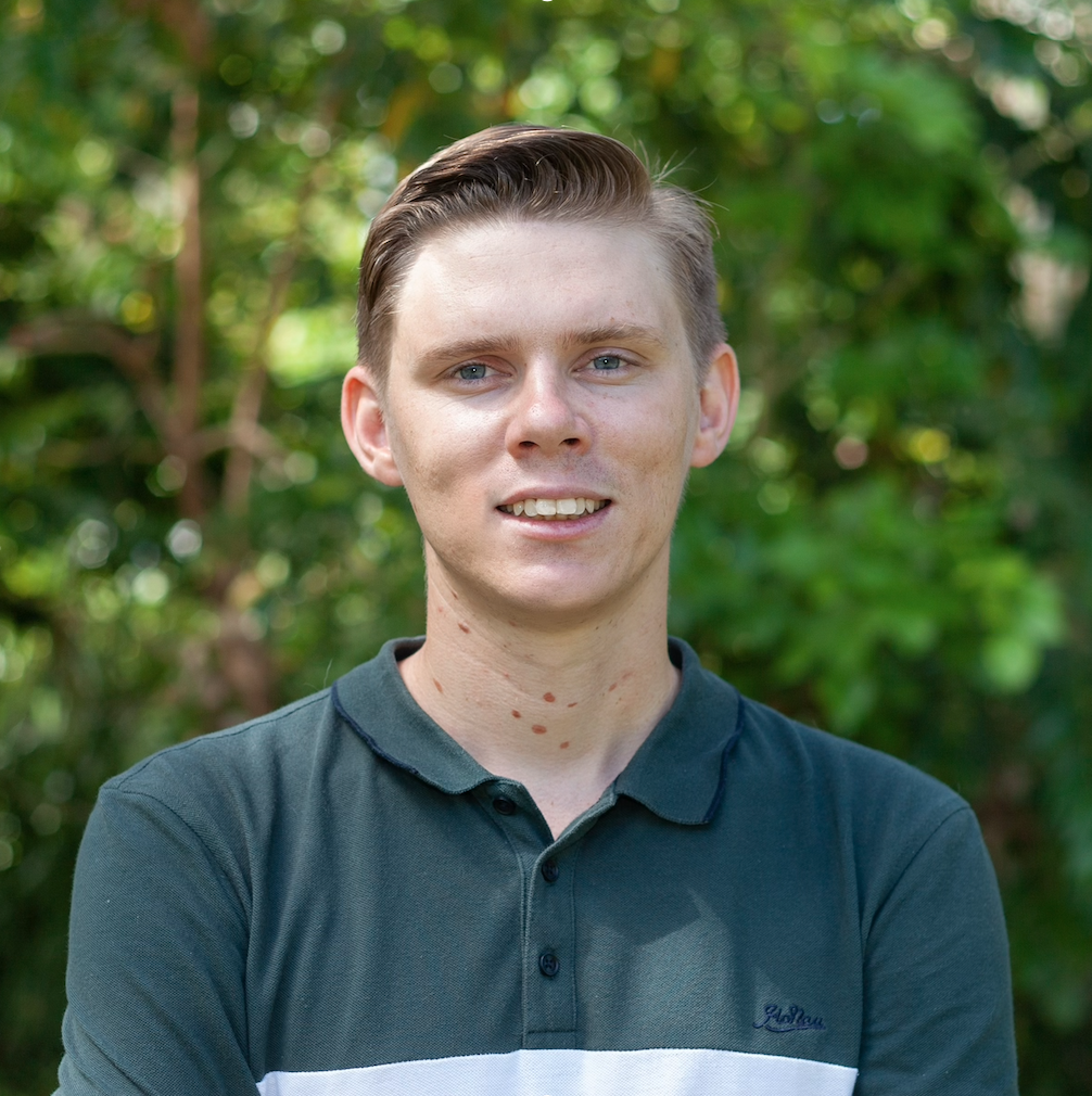
Scott Morrissey
- Research Officer
- scott.morrissey@jcu.edu.au
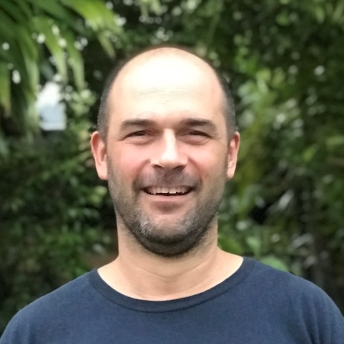
Tim Smith
- Senior Research Officer
- tim.smith2@jcu.edu.au
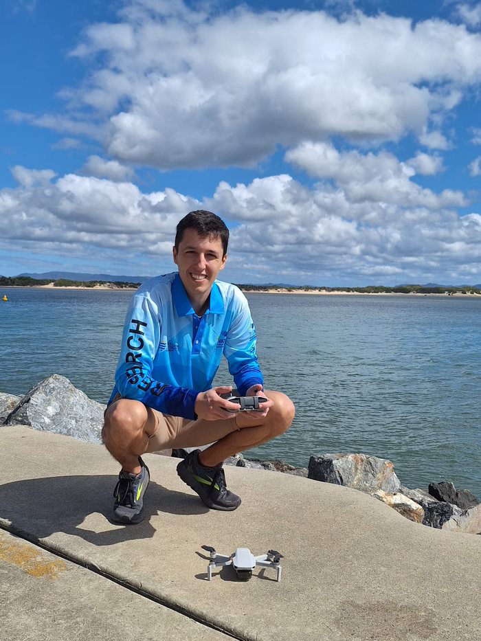
Alejandro Navarro Otero
- Casual Research Worker
- alejandro.navarrootero@jcu.edu.au
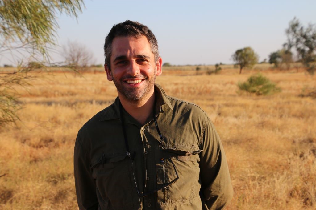
Jack Koci
- Principal Research Officer
- jack.koci1@jcu.edu.au
Sarah McDonald
- Senior Research Officer
- sarah.mcdonald@jcu.edu.au
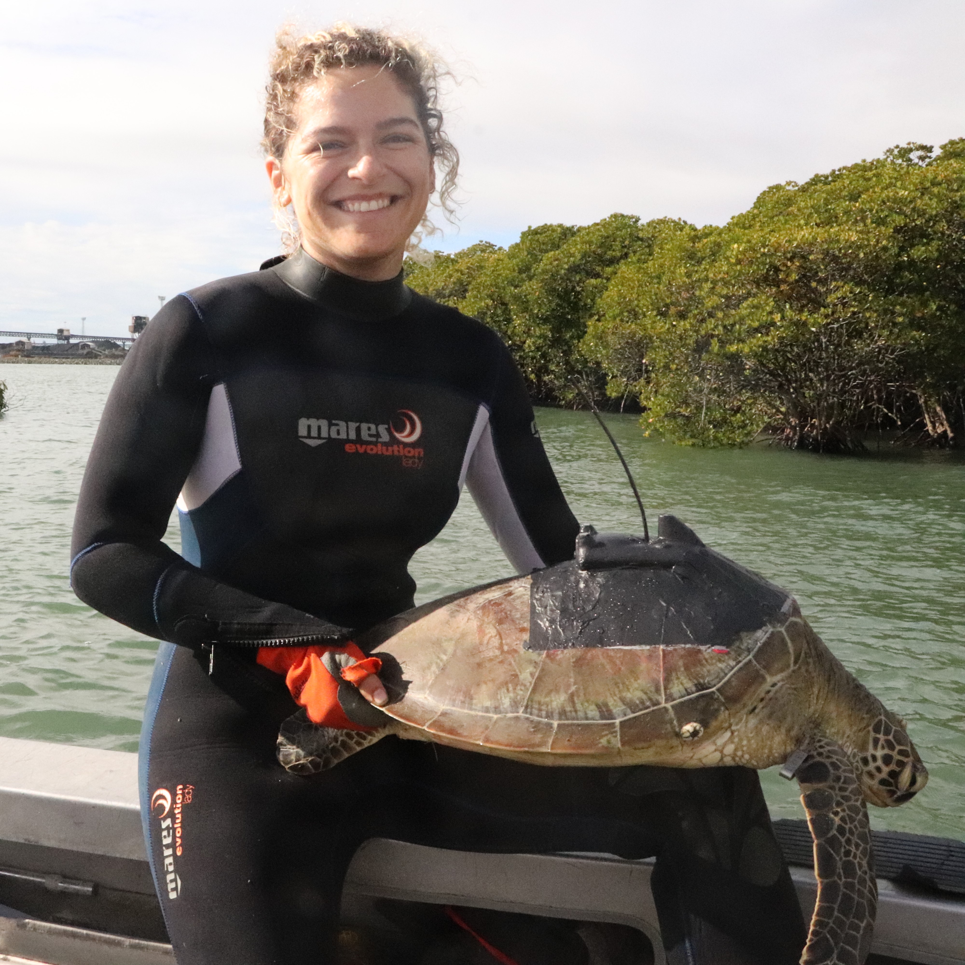
Emily Webster
- Research Officer
- emily.webster1@jcu.edu.au

Abbi Scott
- Senior Research Officer
- abbi.scott1@jcu.edu.au

Catherine Collier
- Principal Research Officer
- catherine.collier@jcu.edu.au

Rob Coles
- Principal Research Scientist
- rob.coles@jcu.edu.au

Aaron Davis
- Principal Research Officer
- aaron.davis@jcu.edu.au
Assessing seagrass distribution as habitat for dugong, turtle and fish on Mandubarra Sea Country
Tim Smith
01 May 2024 - 31 Jan 2026
The Mandubarra Sea Country project aims to understand and manage crucial coastal habitats and the ecosystems they support. Focusing on expansive seagrass habitats, this initiative partners with TropWATER and involves comprehensive mapping and monitoring along the coast, including the South Barnard Islands. The project integrates high-intensity aerial surveys to study the usage of seagrass meadows by green sea turtles and dugongs, both vital to the ecosystem. Additionally, it includes baseline fish surveys and workshops training Mandubarra Rangers in drone usage and underwater video assessments to monitor and manage fish and megaherbivore populations effectively. This collaboration aims to enhance fisheries resilience and inform future conservation efforts within the Mandubarra Sea Country.
Assessing seagrass distribution as habitat for dugong, turtle and fish on Mandubarra Sea Country
Michael Rasheed
01 May 2024 - 31 Jan 2026
The Mandubarra Sea Country project aims to understand and manage crucial coastal habitats and the ecosystems they support. Focusing on expansive seagrass habitats, this initiative partners with TropWATER and involves comprehensive mapping and monitoring along the coast, including the South Barnard Islands. The project integrates high-intensity aerial surveys to study the usage of seagrass meadows by green sea turtles and dugongs, both vital to the ecosystem. Additionally, it includes baseline fish surveys and workshops training Mandubarra Rangers in drone usage and underwater video assessments to monitor and manage fish and megaherbivore populations effectively. This collaboration aims to enhance fisheries resilience and inform future conservation efforts within the Mandubarra Sea Country.
South East Arnhem Land seagrass surveys and development of ranger-led monitoring
Alexandra Carter
01 Sep 2024 - 30 Jun 2027
Traditional Owners from South East Arnhem Land aspire for a healthy, managed Sea Country. South East Arnhem Land's Sea Country has high cultural and biodiversity significance, but this is poorly documented. The presence of important species such as dugong and turtle is known, but habitats important to these species has not been quantified. This project will map subtidal benthic habitats and design and implement a ranger-led monitoring program
South East Arnhem Land seagrass surveys and development of ranger-led monitoring
Alexandra Carter
01 Sep 2024 - 30 Jun 2027
Traditional Owners from South East Arnhem Land aspire for a healthy, managed Sea Country. South East Arnhem Land's Sea Country has high cultural and biodiversity significance, but this is poorly documented. The presence of important species such as dugong and turtle is known, but habitats important to these species has not been quantified. This project will map subtidal benthic habitats and design and implement a ranger-led monitoring program
Monitoring the distribution and abundance of dugongs (and in-water, large marine turtles) within the GBRWHA using a combined aerial observer and imagery approach (Old ID 27811)
Melanie Hamel
20 Sep 2022 - 30 May 2026
This project aims to: (1) to monitor the trends in the abundance and distribution of dugongs within the GBRWHA and (2) contribute to the transition to the use of novel imagery survey technologies to enhance survey methods and accuracy in abundance estimates. The project will be conducted in five main stages which will include: the development of a Traditional Owners engagement strategy and the drafting and submitting regulatory permit applications (stage 1), the development of the survey design and data collection protocols and undertake observer training (stage 2), conduct the dugong observer surveys and imagery experimental work within the GBRWHA (stage 3) and the production of a final report including summary of all survey report findings and advice about the implications of the findings for the conservation and management of dugongs and large marine turtles within the GBRWHA (stage 4).
Cassowary Coast Green Nourishment Seagrass Program (Stage 1 Feasibility)
Alexandra Carter
01 Jul 2024 - 15 Dec 2025
Cassowary Coast Regional Council (CCRC) will collaborate with James Cook University (JCU) and Traditional Owners throughout the project to look at the feasibility of managing seagrass meadows to enhance coastal protection of foreshores. CCRC will collate existing data to produce a map of seagrass habitat within their LGA and identify areas where data gaps exist for further monitoring. Risk mapping of the CCRC coastline will also identify areas most at risk and likely to benefit from coastal protection measures. JCU working with Traditional Owners will then undertake further mapping of seagrass in areas of interest for potential pilot studies for trailing seagrass as an alternative to hard engineering solutions for coastal protection. The mapping will be presented in a report along with recommendations for coastal areas to be considered for the next stage of the Green Nourishment Program (Stage 2 – Establishment of pilot studies utilising seagrass as an alternative to engineering solutions for coastal protection).
Cassowary Coast Green Nourishment Seagrass Program (Stage 1 Feasibility)
Michael Rasheed
01 Jul 2024 - 15 Dec 2025
Cassowary Coast Regional Council (CCRC) will collaborate with James Cook University (JCU) and Traditional Owners throughout the project to look at the feasibility of managing seagrass meadows to enhance coastal protection of foreshores. CCRC will collate existing data to produce a map of seagrass habitat within their LGA and identify areas where data gaps exist for further monitoring. Risk mapping of the CCRC coastline will also identify areas most at risk and likely to benefit from coastal protection measures. JCU working with Traditional Owners will then undertake further mapping of seagrass in areas of interest for potential pilot studies for trailing seagrass as an alternative to hard engineering solutions for coastal protection. The mapping will be presented in a report along with recommendations for coastal areas to be considered for the next stage of the Green Nourishment Program (Stage 2 – Establishment of pilot studies utilising seagrass as an alternative to engineering solutions for coastal protection).
Managing Rangelands for Drought Resilience
Jack Koci
05 Sep 2022 - 30 Dec 2023
This project will draw on artificial intelligence, machine learning and drone technologies and techniques to improve rangeland mapping that leads to enhanced drought resilience and management. Utilising digital precision mapping technologies at demonstration sites will allow the ability to detect changes in ground cover and land condition to be assessed. In collaboration with Southern Gulf NRM and landholders, ways in which this information could be used to improve drought resilience will be reported. Landholders will be exposed to potential techniques to automate mapping of on-ground features for improved management.
Evaluating the drivers of persistent bare soil in the Southern Gulf to inform rehabilitation and build drought resilience
Jack Koci
01 Aug 2023 - 30 Nov 2024
This project will investigate the drivers of persistent bare soil development in parts of the Southern Gulf region of north-west Queensland in order to inform bare soil rehabilitation efforts and build drought resilience. The project will combine satellite imagery analysis of land cover change, with long-term rainfall analysis, and on-ground field data collection, including drone mapping, soil sampling and land condition assessment at selected sites. The project will communicate and disseminate findings through demonstration sites, field days, production of communications material, working collaboratively with landholders, Southern Gulf NRM, and the TNQ Drought Hub. Importantly, the project will leverage and add value to an existing project focused on the demonstration of bare soil rehabilitation techniques for building drought resilience. While focused in the Southern Gulf region, the new knowledge and information generated from this project will be of great value to other regions around Australia seeking to better understand the drivers of persistently bare soil development and rehabilitate and restore these degraded landscapes.
Ecosystem Services Gained and Lost from Proposed Development Areas
Jack Koci
30 Jan 2023 - 30 Jun 2026
This project will examining the ecosystem services gained and lost for proposed development areas in the Gilbert River catchment.
Coral decline threatens fish biodiversity in marine reserves
- 2004
- National Academy of Sciences
- Researchers:Maya Srinivasan
Mid-late Holocene sea-level variability in eastern Australia
- 2008
- Wiley-Blackwell
- Researchers:Stephen Lewis
Title:
Associate Editor
Start Date:
01 Jan 2000
End Date:
01 Jan 2008
Start Date:
01 Jan 2024
End Date:
01 Jan 2025
Start Date:
01 Jan 2024
Start Date:
01 Jan 2010
End Date:
01 Jan 2029
Start Date:
01 Jan 2024
End Date:
01 Jan 2024
Title:
NQ Dry Tropics NRM, Member of the Burdekin Landscape Repair Regional Working Group (2024 - present).
Start Date:
01 Jan 2024