
Tropical Water & Ecosystems
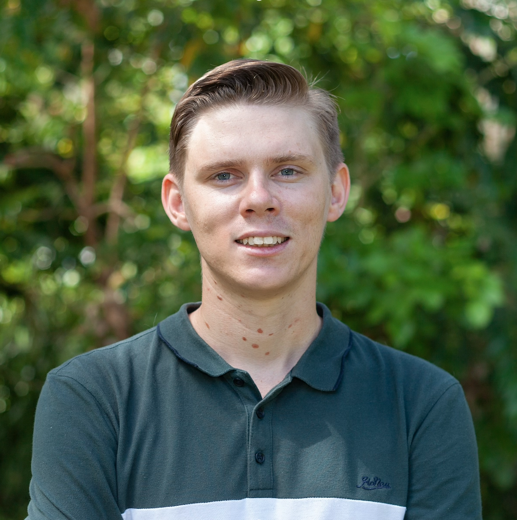
Scott Morrissey
- Research Officer
- scott.morrissey@jcu.edu.au
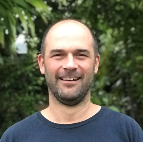
Tim Smith
- Senior Research Officer
- tim.smith2@jcu.edu.au
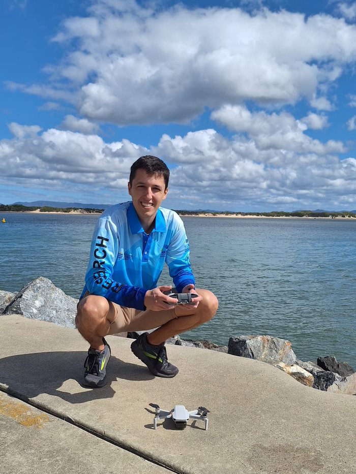
Alejandro Navarro Otero
- Casual Research Worker
- alejandro.navarrootero@jcu.edu.au
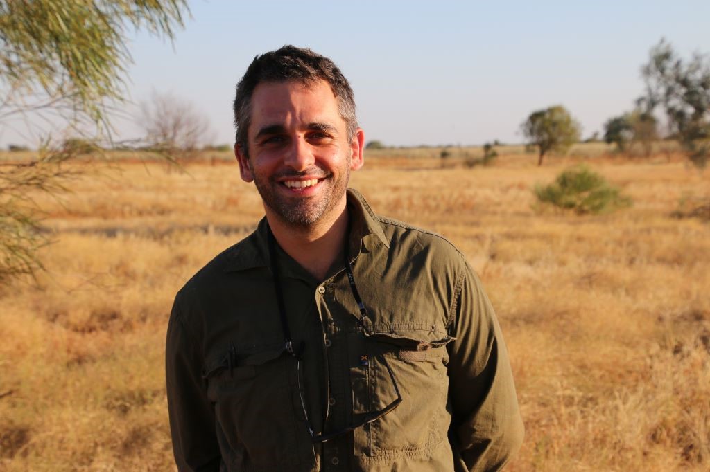
Jack Koci
- Principal Research Officer
- jack.koci1@jcu.edu.au
Sarah McDonald
- Senior Research Officer
- sarah.mcdonald@jcu.edu.au
Emily Webster
- Research Officer
- emily.webster1@jcu.edu.au

Abbi Scott
- Senior Research Officer
- abbi.scott1@jcu.edu.au

Catherine Collier
- Principal Research Officer
- catherine.collier@jcu.edu.au

Rob Coles
- Principal Research Scientist
- rob.coles@jcu.edu.au

Aaron Davis
- Principal Research Officer
- aaron.davis@jcu.edu.au
Operation Lumut (seagrass) Rescue: taking action to restore and monitor seagrass in the Cocos (Keeling) Islands Marine Park (Old ID 29027)
This project brings together local knowledge and ecological expertise to develop a robust, restoration program for seagrass habitats at the Cocos Keeling Island’s southern atoll. Specifically, this project will work to improve our understanding of the natural dynamics and resilience of local seagrass habitats and the pressures acting on them to limit natural recovery, and use this information to identify, trial and evaluate restoration activities to drive seagrass recovery.
Abbot Point Marine Water Quality Monitoring (Old ID 23147)
This project will provide near-surface concentrations of non-algal particulates (NAP or sediments) derived from MODIS imagery and the CSIRO bio-optical algorithms developed for the Great Barrier Reef (pixel resolution of 1km) as part of a dredging campaign at Abbot Point. These data will be used by the North Queensland Bulk Ports Cop to report against compliance conditions of approval for this activity. The MODIS imagery will be assessed for the entire dredging activities.
Deriving ecologically relevant targets to meet desired ecosystem condition for the Great Barrier Reef: a case study for seagrass meadows in the Burdekin region (Old ID 26473)
This project will derive ecologically relevant targets (ERTs) for water quality and sediment loads for the Burdekin basin and provide the ecological targets required to revise ERTs across the GBR by: 1) defining seagrass desired state targets for the GBR: 2) calculating water quality guidelines (light); and 3) calculating ERTs for te3rrestrially sourced sediment loads, using Cleveland Bay as a case study. Historical and new data collections will be compiled and used to derive ERTs via statistical models and eReefs (RECOM), and the seagrass sub-model in eReefs will be used to test ERTs.
Characterising Mary River flood sediment deposited in Hervey Bay. (Old ID 27627)
Analysis of recently deposited sediments in seagrass meadows offshore from the Mary River.
Wetland Restoration Surveys Burdekin Catchment (Old ID 22221)
This project will complete freshwater wetland surveys throughout the Burdekin catchment to examine the success of wetland system repair. Field work will include fish, water quality, vegetation, habitat, and macroinvertebrate sampling. A component of this program will include community training, education and workshops. Data generated will be sued in the preparation of promotional material, reports and social media releases.
Restoring ecosystems from catchment to reef (Old ID 26959)
A range of NESP TWQ Hub funded projects have delivered insights into improved ways of restoring and evaluating ecosystem restoration efforts, from catchments through to the reef and other marine environments. This work has mostly focused on sediments, nutrients and freshwater, estuarine and marine wetland restoration in a wide range of projects. The diversity of approaches and contexts in which restoration has occurred, make it very difficult for anyone not intimately associated with the work to appreciate the overall outcomes and learnings. This synthesis will provide the ability to see across this range of projects and outcomes. Synthesis of the outcomes across these projects will provide easy to access practical recommendations for land and sea managers.
Wet Tropics Major Integrated Project Synthesis Report (Old ID 23203)
Extensive science has been conducted in the catchments of the wet tropics region with the aim of improving water quality in the Great Barrier Reef. This project aims to compile and synthesise this information for the Johnstone and Tully Catchments. The synthesis will utilize and integrate extensive existing biophysical, land management practice, social and economic data with the aim of generating new and increased understanding of the current status and options for the future. It will be used in conjunction with feasibility studies to inform decision making around the best location and mix of on-ground actions to reduce nutrient and pesticide loads.
Marine Plant Habitat Survey and Monitoring Program (GCWA SRMP-002) (Old ID 22500)
The aim of this research is to map & monitor seagrass habitats in areas around the Gold Coast. The objectives include comparing results of previous monitoring and baseline surveys and assessing any changes in seagrass distribution and abundance in relation to natural events or human induced activities.
Marine Plant Habitat Survey and Monitoring Program (GCWA SRMP-002) (Old ID 22500)
The aim of this research is to map & monitor seagrass habitats in areas around the Gold Coast. The objectives include comparing results of previous monitoring and baseline surveys and assessing any changes in seagrass distribution and abundance in relation to natural events or human induced activities.
Mapping South East Arnhem Land Sea Country - Intertidal (Old ID 27885)
Understanding the location and extent of ecological and cultural values in Sea Country is necessary to support the aspirations of South East Arnhem Land (SEAL) people and further their connection with Sea Country through sustainable resource management. The proposed SEAL Sea Country IPA has high biodiversity values, including extensive habitat for large foraging populations of dugong and turtles which depend on healthy seagrass. Historical seagrass data, dugong aerial surveys (2019), recent surveys in adjacent Marra Sea Country (2021) and the Yanyuwa IPA (2021-22) indicate that extensive areas of seagrass habitat also occur in the SEAL IPA. However, there are no recent maps of seagrass habitat in the IPA. This project will assist the Aboriginal Traditional Owners to protect, maintain and sustainably manage Aboriginal land/ and sea country within the proposed SEAL Marine Indigenous Protected Area by providing base line bilingual maps, GIS and report of seagrass and other benthic habitats.
Coral decline threatens fish biodiversity in marine reserves
- 2004
- National Academy of Sciences
- Researchers:Maya Srinivasan
Mid-late Holocene sea-level variability in eastern Australia
- 2008
- Wiley-Blackwell
- Researchers:Stephen Lewis
Start Date:
01 Jan 2023
End Date:
01 Jan 2024
Start Date:
01 Jan 2022
Start Date:
01 Jan 2022
Title:
Editorial Board Chemosphere
Start Date:
01 Jan 2022
Start Date:
01 Jan 2026
End Date:
01 Jan 2026
Title:
PhD, James Cook University
Start Date:
01 Jan 2011
End Date:
01 Jan 2015
Start Date:
01 Jan 2005
End Date:
01 Jan 2007
Start Date:
01 Jan 2021
End Date:
01 Jan 2022
Start Date:
01 Jan 2022
End Date:
01 Jan 2022
Start Date:
01 Jan 2024
End Date:
01 Jan 2024